Uvas Canyon County Park Campground
- Jan–Dec
- best months
- At 1,128 ft
- Uvas Canyon County Park
Uvas Canyon County Park Campground is a campground in California at about 1,128 feet.
 Uvas Creek TrailHikingPhoto: Sergey Gabdurakhmanov, CC BY 2.0 (via Flickr)0.1 mi
- Knibbs Knob TrailHikingPhoto: Sergey Gabdurakhmanov, CC BY 2.0 (via Flickr)0.1 mi
- Black Rock FallsWaterfall0.4 mi
- Triple FallsWaterfall0.5 mi
- Uvas Canyon County ParkState park0.5 mi
- Bald PeaksSummit4.9 mi
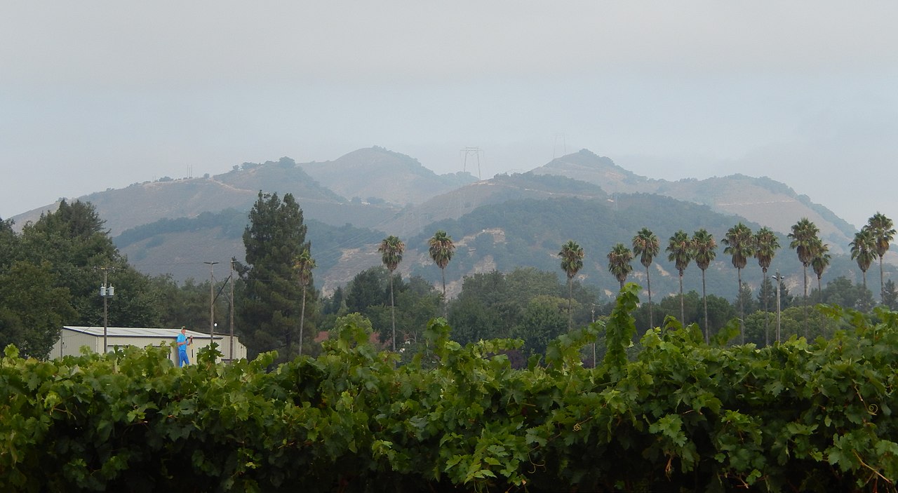 Twin PeaksSummitPhoto: Wahn, CC BY-SA 4.0 (via Wikimedia Commons)5.7 mi
- Soquel CreekCanoeing7 mi
Source: Roamze catalog (indexable pages within 10 miles, PostGIS distance)
 Sunset State BeachCamping · ~23 min drivePhoto: lamblukas — CC BY 2.0 (via Flickr)
- Upper Bench Youth CampCamping · Next door
- Camp Loma (Future Farmers of America)Camping · ~5 min drive
- West Ridge Trail CampCamping · ~10 min drive
- Tan Oak CampgroundCamping · ~11 min drive
- West Deer Pen Youth CampCamping · ~12 min drive
- Arrowhead Group CampCamping · ~12 min drive
- Uvas Pines RV ParkCamping · ~12 min drive
- Manzanita Group CampCamping · ~12 min drive
- Thousand Trails Morgan HillCamping · ~12 min drive
Best time to visit Uvas Canyon County Park Campground
Best months: Year-round. Best months have typical highs of 55–85 °F, lows of 30 °F or warmer (32 °F where the station doesn't record snow), at most one snowy day and no more than 12 wet days.
Jan
61° / 40°
9 wet
Feb
62° / 42°
10 wet
Mar
64° / 43°
10 wet
Apr
66° / 45°
7 wet
May
69° / 48°
3 wet
Jun
72° / 50°
2 wet
Jul
72° / 53°
2 wet
Aug
73° / 53°
2 wet
Sep
75° / 52°
2 wet
Oct
74° / 48°
4 wet
Nov
67° / 43°
8 wet
Dec
61° / 39°
9 wet
Typical high / low (°F) and days with rain or snow, 1991–2020. Measured at Watsonville Muni Ap, CA, 10.3 mi away at 160 ft. The station sits about 1,000 ft lower than this place, so expect it a little cooler here. This station doesn't record snowfall. Source: NOAA NCEI U.S. Climate Normals 1991–2020.

Map and trail data © OpenStreetMap contributors
