Cannell Trail
- 6.3 mi
- round trip
- 8,277 ft
- climb
- Out and back
- route
Is Cannell Trail open right now?
Closure in the area
There's a closure order in Sequoia National Forest. It doesn't name Cannell Trail, so check the source for the area it covers (2 listed).
Tule River Glass Container Prohibition Area
Agency closure covering Sequoia National Forest · Order 0513-26-02 · USFS · Sequoia National Forest
Trail of 100 Giants Boardwalk and Area Closure
Agency closure covering Sequoia National Forest · Order 0513-26-03 · USFS · Sequoia National Forest
PUBLIC NUDITY PROHIBITION - Sequoia National Forest
Agency alert covering Sequoia National Forest · Order 0513-26-06 · USFS · Sequoia National Forest
Chico Flat Dispersed Camping Area Prohibition 26-27
Agency alert covering Sequoia National Forest · Order 0513-26-09 · USFS · Sequoia National Forest
Wildlife Alert - BEARS
Agency alert covering Sequoia National Forest · USFS · Sequoia National Forest
As of · Source: USFS · Sequoia National Forest. Agencies don't list every closure — check before you go.
Cannell Trail is a mountain biking route in the Kern River Ranger District of Sequoia National Forest in California, managed by the Forest Service. The trail is an out-and-back ride of about 12.6 miles, with a high point of 7,275 feet and a low of 3,527 feet. The one-way climb is 3,820 feet, and the total round-trip gain is 8,277 feet. The steepest section comes at about 2.1 miles in, with a grade of 35 percent. The trail starts at an elevation of about 7,243 feet and is rated easy. The Kern River Ranger District is the closest town, and the route sits within Sequoia National Forest. Pine Flat is a hike about 0.1 mile away. The Kern River Ranger District offers river fishing about 4.5 miles off, and Camp Three Campground and Kernville Rock (a.k.a. Kern Slabs) are both about 5 miles away.
- Pine FlatHiking0.1 mi
 Potato PatchHikingPhoto: anon4809, Public Domain Dedication (CC0) (via Flickr)2.3 mi
- Kern River Ranger DistrictRiver fishing4.5 mi
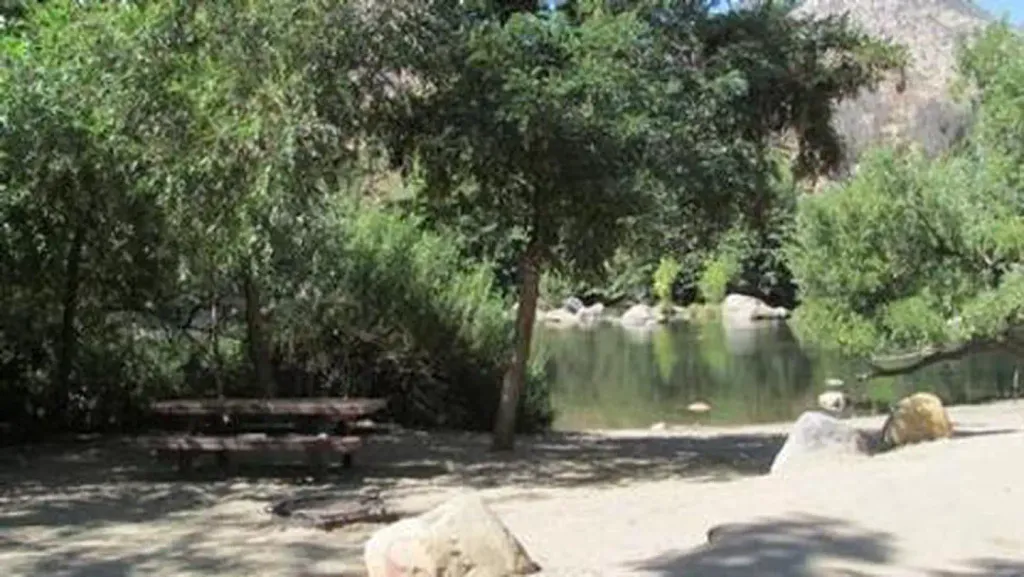 HeadquartersCampingPhoto: Recreation.gov (RIDB) / public domain5 mi
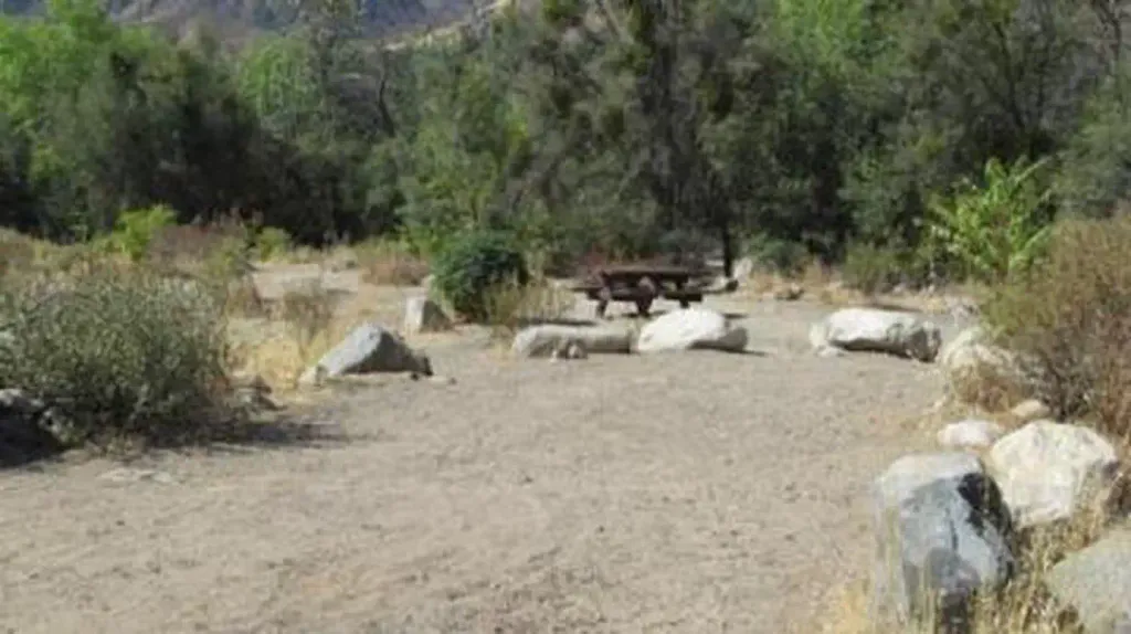 Camp Three CampgroundCampingPhoto: Recreation.gov (RIDB) / public domain5.3 mi
 Kernville Rock (a.k.a. Kern Slabs)Rock climbingPhoto: Mike Guy, CC BY 3.0 (via Wikimedia Commons)5.5 mi
- Church DomesRock climbing5.7 mi
- Hanning Flat Dispersed AreaLake fishing7.9 mi
Source: Roamze catalog (indexable pages within 10 miles, PostGIS distance)
 River Springs Cutoff #1Mountain biking · ~53 min drivePhoto: David Bakken, CC BY-SA 2.0 (via Wikimedia Commons)
- Cannell TrailMountain biking · ~2 min drive
- Sherman Peak TrailMountain biking · ~23 min drive
- Cooks Peak TrailMountain biking · ~20 min drive
 PCT - Pacific Crest TrailMountain biking · ~1h 19m drivePhoto: Wizz4prep, CC BY-SA 4.0 (via Wikimedia Commons)
- Cannell Meadow TrailMountain biking · ~23 min drive
- Baker PointMountain biking · ~17 min drive
- Unal InterpretiveMountain biking · ~20 min drive
- Pacific Crest TrailMountain biking · ~33 min drive
- Smith MeadowMountain biking · ~45 min drive
Map and trail data © OpenStreetMap contributors
