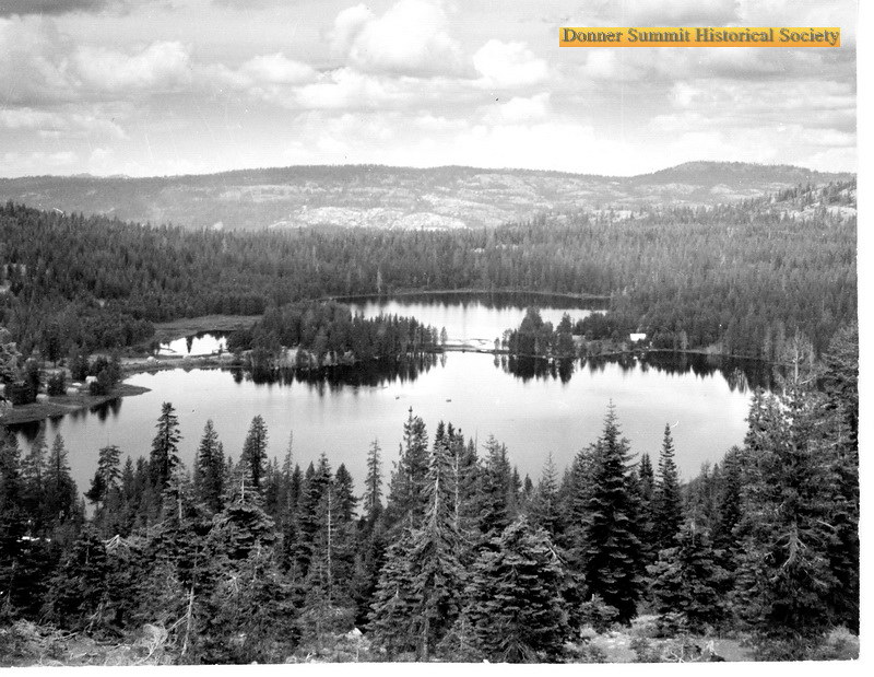
Onion Creek Campground
Campground
Campground · 1.5 mi from the trail
Alert in the area
The Forest Service lists an alert for Tahoe National Forest.
Camping and Campfire Restrictions-Truckee and Sierraville Districts
Agency alert covering Tahoe National Forest · Order 17-25-05 · USFS · Tahoe National Forest
As of · Source: USFS · Tahoe National Forest. Agencies don't list every closure — check before you go.
Bogus Basin is a short, easy mountain biking ride in California's Tahoe National Forest, within the Truckee Ranger District and the Royal Gorge area. The route is an out-and-back of about 0.8 miles, with a low point of 7,195 feet and a high of 7,247 feet, so the climb is only about 38 feet one way. Summer is the most comfortable time to ride. Typical averages from a nearby weather station show July highs around 82°F with lows near 44°F and only about two wet days in the month. That station sits roughly 1,300 feet lower than the basin, so temperatures up here run cooler. The Rowton Peak Trail starts just 0.1 mile away, and the Tiny Tim mountain biking spot is 0.2 mile off. Climbers can head to Power Line Boulder, about 1.2 miles away, and anglers will find Milton Reservoir about 2.2 miles away.
Onion Creek Campground
Campground
Donner Ski Ranch
Restaurant
Watson Cabin
Museum
Places © OpenStreetMap contributors
More in Sunnyside-Tahoe CityNot on Roamze yet. Their page has how to reach them.
Best months: May–September. Best months have typical highs of 55–85 °F, lows of 30 °F or warmer (32 °F where the station doesn't record snow), at most one snowy day and no more than 12 wet days.
Jan
41° / 17°
11 wet
Feb
43° / 18°
10 wet
Mar
48° / 22°
10 wet
Apr
53° / 26°
7 wet
May
63° / 33°
6 wet
Jun
73° / 38°
3 wet
Jul
82° / 44°
2 wet
Aug
81° / 42°
2 wet
Sep
74° / 36°
2 wet
Oct
63° / 29°
4 wet
Nov
49° / 23°
7 wet
Dec
39° / 17°
10 wet
Typical high / low (°F) and days with rain or snow, 1991–2020. Measured at Donner Mem Sp, CA, 8.1 mi away at 5,937 ft. The station sits about 1,300 ft lower than this place, so expect it a little cooler here. This station doesn't record snowfall. Source: NOAA NCEI U.S. Climate Normals 1991–2020.
RIDE
Switchback
Next door
0.32-mile easy singletrack with 148 ft elevation gain in California.
RIDE
Razorback
~2 min drive
0.22-mile out-and-back singletrack in California with 130 ft elevation gain
RIDE
Lower Lola Montez Trail
~6 min drive
0.24-mile hard singletrack out and back in California with 302 ft gain.
RIDE
Glacier Meadow Loop
~7 min drive
0.54-mile loop at Donner Peak Trailhead with 41 ft gain
RIDE
Tiny Tim
Next door
0.10-mile easy singletrack in California with 44 ft of elevation gain.
RIDE
Lower Lola Montez Trail
~4 min drive
0.26-mile out-and-back singletrack in California with 14 ft of elevation gain.
RIDE
Andesite West Osv
~7 min drive
3.46-mile trail at Donner Peak Trailhead with 1,052 ft elevation gain
RIDE
Tiny Tim
Next door
0.16-mile easy singletrack in California with 85 ft elevation gain
RIDE
Lower Lola Montez Trail
~6 min drive
0.14-mile out-and-back singletrack with 104 ft gain in California
RIDE
Summit Lake
~8 min drive
1.49-mile trail in California at Donner Peak Trailhead, 402 ft elevation gain.
Also worth it near here
Map and trail data © OpenStreetMap contributors