Armstrong Pass Trail
- 3.7 mi
- round trip
- 2,772 ft
- climb
- Singletrack
- surface
- Out and back
- route
- May–Oct
- best months
Is Armstrong Pass Trail open right now?
Closure in the area
There's a closure order in Humboldt-Toiyabe National Forest. It doesn't name Armstrong Pass Trail, so check the source for the area it covers.
Elephant Fire Closure
Agency closure covering Humboldt-Toiyabe National Forest · Order 04-17-26-01-04 · USFS · Humboldt-Toiyabe National Forest
Floriston Fire Closure
Agency alert covering Carson Ranger District · Order 17-26-24 · USFS · Carson Ranger District
Power line construction along SR 88, Alpine County, California (Carson Ranger District)
Agency alert covering Carson Ranger District · USFS · Carson Ranger District
Over-Snow Vehicle Closure (Carson Ranger District)
Agency alert covering Carson Ranger District · Order 04-17-25-12 · USFS · Carson Ranger District
Area, Road, and Trail Closures (Spring Mountains National Recreation Area)
Agency alert covering Humboldt-Toiyabe National Forest · Order 04-17-25-04 · USFS · Humboldt-Toiyabe National Forest
As of · Source: USFS · Humboldt-Toiyabe National Forest. Agencies don't list every closure — check before you go.
Armstrong Pass Trail is a mountain biking route in California's Humboldt-Toiyabe National Forest, within the Carson Ranger District. The Forest Service manages the land, and the trail's out-and-back layout covers about 7.4 miles, rising from a low of 7,663 feet to a high of 8,728 feet. That makes the climb a total of 2,772 feet round trip, with the steepest stretch at about 0.45 miles in, where the grade reaches 15 percent. For timing, summer is the most comfortable window. Typical July averages at the nearby Dagget Pass weather station, which sits roughly 1,400 feet lower, run to a high of 75°F and a low of 49°F, with only about two wet days. That station's figures suggest temperatures on the trail run cooler. The Horse Meadows Trail starts just 0.6 miles away, and Jobs Peak Trail is about 1.6 miles off. Paddlers can head to the West Fork Carson River, about 3.8 miles away, and Kit Carson Campground is about 3.9 miles away.
Local outfitters
- West Shore Sports19 mi away
- Alpenglow Expeditions31 mi away
Not on Roamze yet. Their page has how to reach them.
- HORSE MEADOWS TRAILHiking0.6 mi
- Jobs Peak TrailHiking1.6 mi
 West Fork Carson RiverCanoeingPhoto: Skooiman at English Wikipedia, Public domain (via Wikimedia Commons)3.8 mi
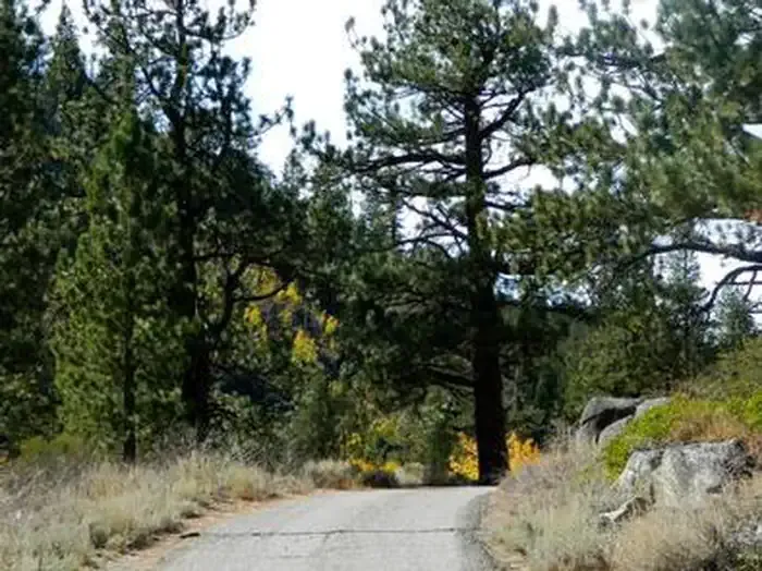 Kit Carson CampgroundCampingPhoto: Recreation.gov (RIDB) / public domain3.9 mi
- Apron CragsRock climbing4.3 mi
- The ApronRock climbing4.3 mi
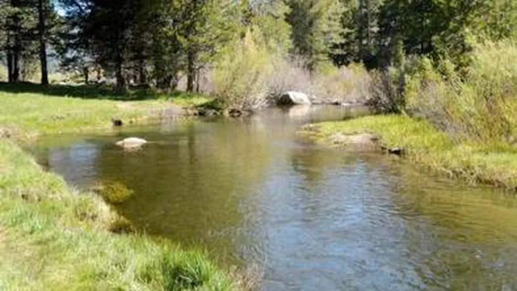 Hope ValleyCampingPhoto: Recreation.gov (RIDB) / public domain4.6 mi
- Trout CreekCanoeing4.7 mi
Source: Roamze catalog (indexable pages within 10 miles, PostGIS distance)
 Tahoe Rim TrailMountain biking · ~5 min drivePhoto: AT2663, CC BY-SA 3.0 (via Wikimedia Commons)
- Tahoe Rim TrailMountain biking · ~9 min drivePhoto: AT2663, CC BY-SA 3.0 (via Wikimedia Commons)
- Armstrong Connector TrailMountain biking · ~4 min drive
- Tahoe Rim TrailMountain biking · ~7 min drivePhoto: AT2663, CC BY-SA 3.0 (via Wikimedia Commons)
- Old Luther Pass RoadMountain biking · ~6 min drive
- Armstrong Connector TrailMountain biking · ~6 min drive
- Saxon Creek TrailMountain biking · ~8 min drive
- Grass Lake SpurMountain biking · ~7 min drive
- Star Lake TrailMountain biking · ~6 min drive
- Railroad Grade TrailMountain biking · ~8 min drive
Also worth it near here
 Freel PeakSummit · ~3 min drivePhoto: J Brew, CC BY-SA 2.0 (via Wikimedia Commons)
- Star LakeLake fishing · ~5 min drive
 Historic California Emigrant TrailHiking · ~6 min drivePhoto: RuggyBearLA, CC BY 2.0 (via Flickr)
- West Fork Carson RiverCanoeing · ~6 min drivePhoto: Skooiman at English Wikipedia, Public domain (via Wikimedia Commons)
Best time to visit Armstrong Pass Trail
Best months: May–October. Best months have typical highs of 55–85 °F, lows of 30 °F or warmer (32 °F where the station doesn't record snow), at most one snowy day and no more than 12 wet days.
Jan
36° / 23°
9 wet
Feb
37° / 23°
8 wet
Mar
42° / 26°
7 wet
Apr
48° / 29°
5 wet
May
56° / 35°
4 wet
Jun
66° / 42°
2 wet
Jul
75° / 49°
2 wet
Aug
74° / 49°
1 wet
Sep
67° / 44°
2 wet
Oct
55° / 36°
3 wet
Nov
43° / 28°
5 wet
Dec
35° / 23°
7 wet
Typical high / low (°F) and days with rain or snow, 1991–2020. Measured at Dagget Pass, NV, 10.1 mi away at 7,334 ft. The station sits about 1,400 ft lower than this place, so expect it a little cooler here. This station doesn't record snowfall. Source: NOAA NCEI U.S. Climate Normals 1991–2020.
Map and trail data © OpenStreetMap contributors
