Jobs Peak Trail
- 1.4 mi
- round trip
- 1,647 ft
- climb
- 10,238 ft
- high point
- Out and back
- route
Is Jobs Peak Trail open right now?
Closure in the area
There's a closure order in Humboldt-Toiyabe National Forest. It doesn't name Jobs Peak Trail, so check the source for the area it covers.
Elephant Fire Closure
Agency closure covering Humboldt-Toiyabe National Forest · Order 04-17-26-01-04 · USFS · Humboldt-Toiyabe National Forest
Floriston Fire Closure
Agency alert covering Carson Ranger District · Order 17-26-24 · USFS · Carson Ranger District
Power line construction along SR 88, Alpine County, California (Carson Ranger District)
Agency alert covering Carson Ranger District · USFS · Carson Ranger District
Over-Snow Vehicle Closure (Carson Ranger District)
Agency alert covering Carson Ranger District · Order 04-17-25-12 · USFS · Carson Ranger District
Area, Road, and Trail Closures (Spring Mountains National Recreation Area)
Agency alert covering Humboldt-Toiyabe National Forest · Order 04-17-25-04 · USFS · Humboldt-Toiyabe National Forest
As of · Source: USFS · Humboldt-Toiyabe National Forest. Agencies don't list every closure — check before you go.
Jobs Peak Trail is a moderate out-and-back hike in California's Humboldt-Toiyabe National Forest, within the Carson Ranger District. The trail is about 2.8 miles long, and it starts and ends at about 8,626 feet, with the peak of Jobs Peak rising to 10,238 feet. The climb is front-loaded, with the steepest stretch coming at about 0.66 miles in, where the grade reaches 34 percent. The route is a round trip of about 2.8 miles, with a total elevation gain of roughly 1,647 feet. That makes for a full day's outing, and most hikers will need about two hours to complete it. Several other routes lie close by. Horse Meadows Trail is about a mile away, and Freel Peak to Jobs Sister and Jobs Peak Trail is about 1.3 miles off. For an overnight stay, Kit Carson Campground is about 4.3 miles away, and paddlers can head to the West Fork Carson River, about 2.8 miles from the trail.
Local outfitters
- Alpenglow Expeditions31 mi away
Not on Roamze yet. Their page has how to reach them.
- HORSE MEADOWS TRAILHiking1.1 mi
- Freel Peak to Jobs Sister and Jobs Peak TrailHiking1.3 mi
 West Fork Carson RiverCanoeingPhoto: Skooiman at English Wikipedia, Public domain (via Wikimedia Commons)2.8 mi
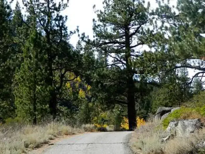 Kit Carson CampgroundCampingPhoto: Recreation.gov (RIDB) / public domain4.3 mi
- Apron CragsRock climbing4.4 mi
- The ApronRock climbing4.4 mi
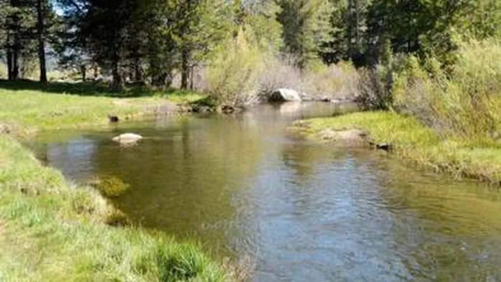 Hope ValleyCampingPhoto: Recreation.gov (RIDB) / public domain4.7 mi
- Trout CreekCanoeing5.4 mi
Source: Roamze catalog (indexable pages within 10 miles, PostGIS distance)
 HorsethiefHiking · ~7 min drivePhoto: UncleVinny, CC BY 3.0 (via Wikimedia Commons)
 Lonesome TrailHiking · ~7 min drivePhoto: Jim Morefield, CC BY-SA 2.0 (via Flickr)
 Power Line TrailHiking · ~9 min drivePhoto: DaltonKat2, CC BY-SA 2.0 (via Flickr)
- Pickett Peak TrailHiking · ~8 min drivePhoto: UncleVinny, CC BY 3.0 (via Wikimedia Commons)
 Historic California Emigrant TrailHiking · ~8 min drivePhoto: RuggyBearLA, CC BY 2.0 (via Flickr)
- Cold Creek TrailHiking · ~9 min drivePhoto: DaltonKat2, CC BY-SA 2.0 (via Flickr)
 4-Second Climbing TrailHiking · ~9 min drivePhoto: simonov, CC BY-SA 2.0 (via Flickr)
- High Meadows Spur TrailHiking · ~9 min drivePhoto: DaltonKat2, CC BY-SA 2.0 (via Flickr)
- Star Lake TrailHiking · ~7 min drive
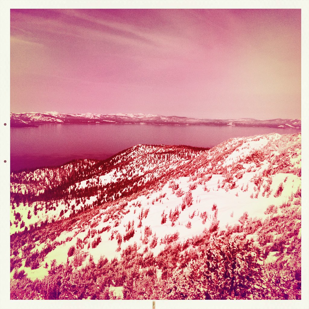 Monument Pass TrailHiking · ~9 min drivePhoto: denverkid, CC BY 2.0 (via Flickr)
Also worth it near here
 Freel PeakSummit · ~3 min drivePhoto: J Brew, CC BY-SA 2.0 (via Wikimedia Commons)
- West Fork Carson RiverCanoeing · ~5 min drivePhoto: Skooiman at English Wikipedia, Public domain (via Wikimedia Commons)
 MuralsRock climbing · ~8 min drivePhoto: Ken Lund, CC BY-SA 2.0 (via Flickr)
 Tahoe Rim TrailMountain biking · ~8 min drivePhoto: AT2663, CC BY-SA 3.0 (via Wikimedia Commons)
- Hope ValleyCamping · ~8 min drive
Map and trail data © OpenStreetMap contributors
