Gould Mesa Trail Camp
Campground
Campground · 1.9 mi from the trail
West Rim Trail is a short, easy hike in California, about 0.7 miles from La Cañada Flintridge. The trail is an out-and-back, roughly 0.9 miles long, with a total climb of about 138 feet. The route starts at about 1,104 feet and reaches a high point of about 1,119 feet before returning to the start. The steepest stretch comes at about 0.29 miles in, with a grade of about 5%. Spring and fall are the most comfortable times to go. Typical averages from a nearby weather station in Pasadena show April highs around 76°F and October highs around 83°F, while July and August average in the low 90s. Several other trails sit close by. Gabrielino Trail and Flint Canyon Trail are each about 0.6 miles away, and Gould Canyon Trail is about 0.8 miles away. For an overnight stay, Millard campground is about 2.5 miles off.
Gould Mesa Trail Camp
Campground
The Smoothie Stop
Fast food
 If it rainsBoothsift, CC BY-SA 4.0 · Wikimedia Commons
Places © OpenStreetMap contributors · Photos: Boothsift, CC BY-SA 4.0 (commons)
More in Acton Big Tujunga CreekCanoeingPhoto: MajaTrochimczyk, CC BY 3.0 us (via Wikimedia Commons)7.2 mi
Source: Roamze catalog (indexable pages within 10 miles, PostGIS distance)
 Gabrielino TrailHiking · ~2 min drivePhoto: feverblue, CC BY-SA 2.0 (via Flickr)El Prieto TrailHiking · ~2 min drivePhoto: feverblue, CC BY-SA 2.0 (via Flickr)Millard Canyon Crest TrailHiking · ~2 min drivePhoto: feverblue, CC BY-SA 2.0 (via Flickr)
 Gabrielino TrailHiking · ~4 min drivePhoto: Pintsmasher, CC BY 3.0 (via Wikimedia Commons)Gabrielino TrailHiking · ~3 min drivePhoto: feverblue, CC BY-SA 2.0 (via Flickr)
 Sunset Ridge TrailHiking · ~5 min drivePhoto: Perfect Zero, CC BY 2.0 (via Flickr)
 Cerro Negro TrailHiking · ~3 min drivePhoto: Demi Lucas, CC BY 3.0 (via Wikimedia Commons)Owl TrailHiking · ~3 min drivePhoto: Demi Lucas, CC BY 3.0 (via Wikimedia Commons)
 Catalina Verdugo TrailHiking · ~4 min drivePhoto: Charlie Hohn, CC BY 4.0 (via Wikimedia Commons)
Also worth it near here
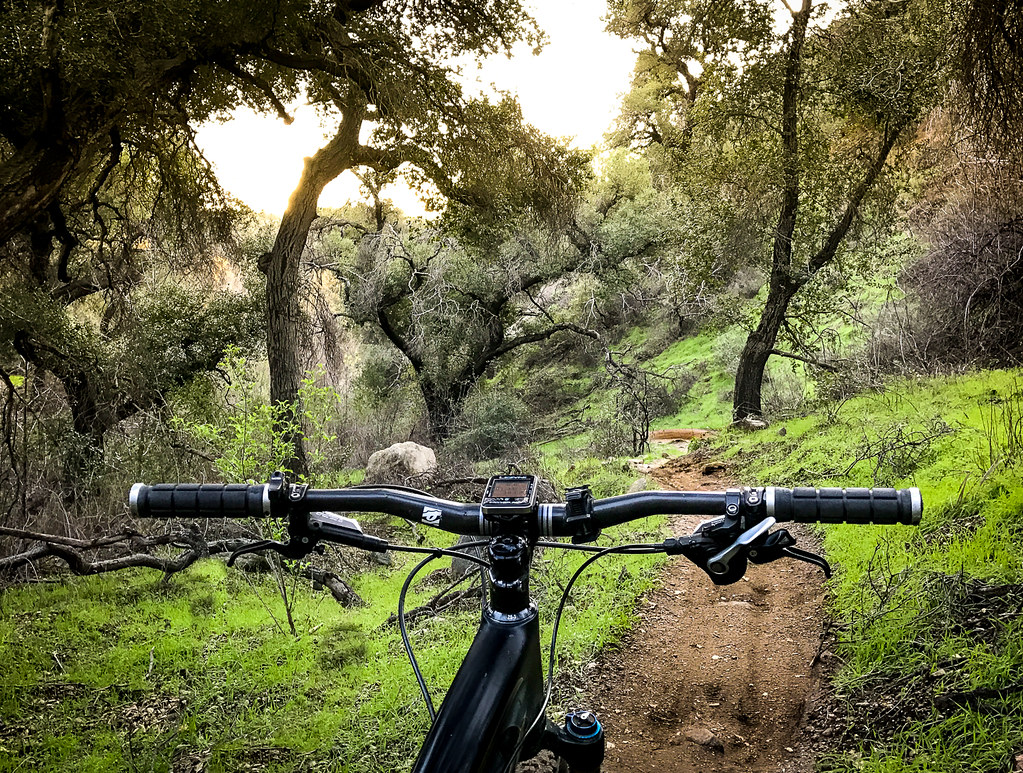
 Altadena Crest TrailMountain biking · ~5 min drivePhoto: USMARINE0311 from California, United States, CC BY-SA 2.0 (via Wikimedia Commons)
 Echo MountainSummit · ~6 min drivePhoto: Mike Manning, CC BY-SA 3.0 (via Wikimedia Commons)
Best months: October–June. Best months have typical highs of 55–85 °F, lows of 30 °F or warmer (32 °F where the station doesn't record snow), at most one snowy day and no more than 12 wet days.
Jan
68° / 45°
7 wet
Feb
69° / 46°
7 wet
Mar
73° / 48°
6 wet
Apr
76° / 51°
4 wet
May
78° / 54°
3 wet
Jun
84° / 58°
2 wet
Jul
89° / 62°
1 wet
Aug
91° / 63°
0 wet
Sep
90° / 62°
1 wet
Oct
83° / 56°
2 wet
Nov
75° / 50°
3 wet
Dec
67° / 45°
6 wet
Typical high / low (°F) and days with rain or snow, 1991–2020. Measured at Pasadena, CA, 3.7 mi away at 864 ft. Source: NOAA NCEI U.S. Climate Normals 1991–2020.
Map and trail data © OpenStreetMap contributors
