Millard
Campground
Campground · 1.4 mi from the trail
Lower Sam Merrill Trail is a hike in California, about a mile from the town of Altadena. It is an out-and-back route of roughly 5.3 miles, with a one-way climb of about 2,278 feet. The trail starts at an elevation of about 1,849 feet and reaches a high point of about 3,261 feet. The climb is front-loaded, with the steepest stretch at about a mile in, where the grade reaches about 26 percent. The trail is rated easy, and the total round-trip gain and loss are each about 3,232 feet. The route is close to the Altadena Crest Trail, which lies about 0.2 miles away, and the Sam Merrill Trail (Lower) is about 0.1 miles away. For an overnight stay, Millard Campground is about 1.4 miles off and Mt. Lowe Campground is about 1.9 miles away.
Millard
Campground
 If it rainsBoothsift, CC BY-SA 4.0 · Wikimedia Commons
Places © OpenStreetMap contributors, Places © Overture Maps Foundation · Photos: Boothsift, CC BY-SA 4.0 (commons)
More in ActonDaily highs and lows, wind and the chance of precipitation at the summit and route start for the next 7 days, from the Open-Meteo model.
 Big Tujunga CreekCanoeingPhoto: MajaTrochimczyk, CC BY 3.0 us (via Wikimedia Commons)8 mi
 West Fork San Gabriel RiverCanoeingPhoto: Eeekster, CC BY 3.0 (via Wikimedia Commons)9.7 mi
Source: Roamze catalog (indexable pages within 10 miles, PostGIS distance)
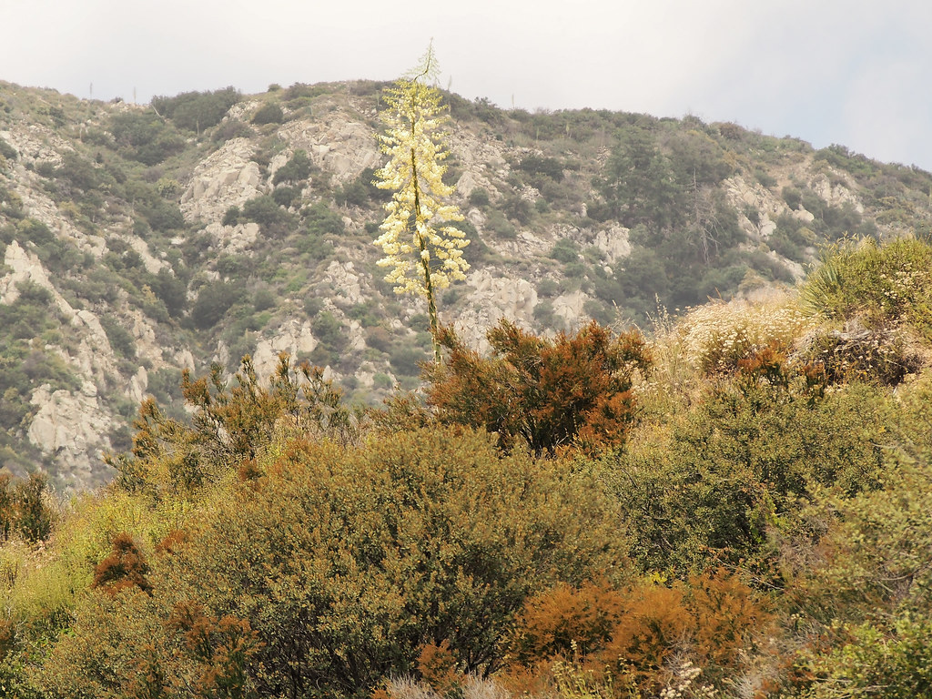 Rubio CanyonHiking · Next doorPhoto: JingKe888, CC BY 2.0 (via Flickr)
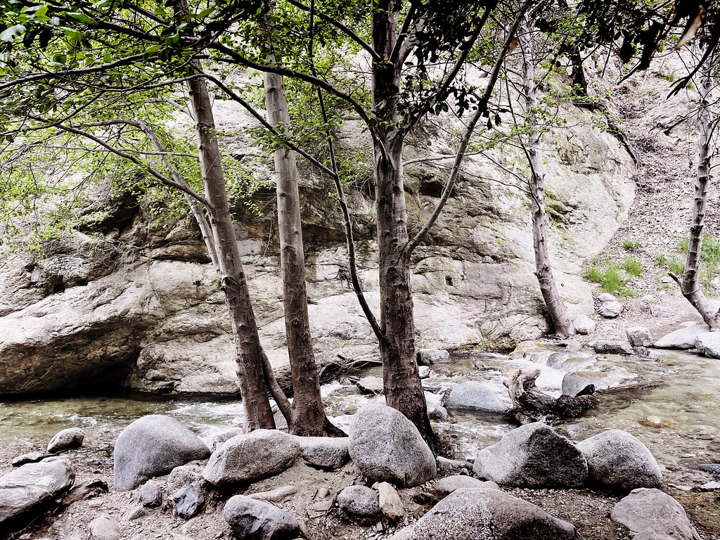 Altadena Crest TrailHiking · ~1 min drivePhoto: JingKe888, CC BY 2.0 (via Flickr)
 Altadena Crest TrailHiking · ~3 min drivePhoto: USMARINE0311 from California, United States, CC BY-SA 2.0 (via Wikimedia Commons)
 Idlehour TrailHiking · ~3 min drivePhoto: mjhbower, CC BY-SA 2.0 (via Flickr)
 Old Echo Mountain TrailHiking · Next doorPhoto: Brück & Sohn Kunstverlag Meißen, CC0 (via Wikimedia Commons)Sam Merrill (Middle)Hiking · ~1 min drivePhoto: JingKe888, CC BY 2.0 (via Flickr)
 El Prieto TrailHiking · ~4 min drivePhoto: feverblue, CC BY-SA 2.0 (via Flickr)Old Echo Montain TrailHiking · ~1 min drivePhoto: Brück & Sohn Kunstverlag Meißen, CC0 (via Wikimedia Commons)
 Dawn Mine TrailHiking · ~2 min drivePhoto: mjhbower, CC BY-SA 2.0 (via Flickr)
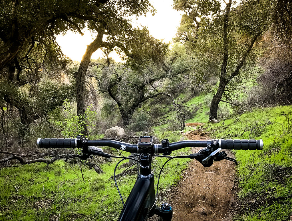 Sunset Ridge TrailHiking · ~2 min drivePhoto: Perfect Zero, CC BY 2.0 (via Flickr)
About 2.6 mi round trip.
About 3,232 ft of climbing round trip.
It is rated hard.
About 2 hours round trip.
2: Old Echo Montain Trail and Lower Sam Merrill Trail.
Map and trail data © OpenStreetMap contributors

