Mt. Lowe
Campground
Campground · 1.2 mi from the trail
 Photo: Mike Manning, CC BY-SA 3.0 (via Wikimedia Commons)
Alert in the area
The Forest Service lists 7 alerts for Angeles National Forest.
Rincon-Redbox Road (2N24) Closure
Agency alert covering Angeles National Forest · Order 05-01-26-13 · USFS · Angeles National Forest
Fire Danger Level Elevated to "Very High"
Agency alert covering Angeles National Forest · USFS · Angeles National Forest
San Gabriel Canyon OHV Area Prohibitions
Agency alert covering Angeles National Forest · Order 05-01-26-09 · USFS · Angeles National Forest
San Dimas Experimental Forest Closure
Agency alert covering Angeles National Forest · USFS · Angeles National Forest
Eaton Fire Area Closure
Agency alert covering Angeles National Forest · Order 05-01-26-04 · USFS · Angeles National Forest
As of · Source: USFS · Angeles National Forest. Agencies don't list every closure — check before you go.
Echo Mountain is a summit of about 3,212 feet in Los Angeles County, California, within the Los Angeles Gateway Ranger District of Angeles National Forest. The Forest Service manages the land, and the nearest town is Altadena, about 1.6 miles away. Castle Canyon and Sam Merrill (Middle) are both about 0.1 mile away. Mt. Lowe campground sits about 1.2 miles off, and Millard campground is about 1.5 miles away.
Mt. Lowe
Campground
 If it rainsBoothsift, CC BY-SA 4.0 · Wikimedia Commons
Places © OpenStreetMap contributors, Places © Overture Maps Foundation · Photos: Boothsift, CC BY-SA 4.0 (commons)
More in ActonDaily highs and lows, wind and the chance of precipitation at the summit and route start for the next 7 days, from the Open-Meteo model.
Elevation from USGS 3D Elevation Program terrain data (about 10 m resolution).
| Old Echo Montain Trail | Lower Sam Merrill Trail | |
|---|---|---|
| Climbing | About 1,040 ft | About 3,232 ft |
| Round trip | 1.2 mi | 5.3 mi |
| Difficulty | Easy | Hard |
| Terrain | Hike | Hike |
3,212 ft (979 m).
2: Old Echo Montain Trail and Lower Sam Merrill Trail.
Old Echo Montain Trail, about 1.2 mi round trip.

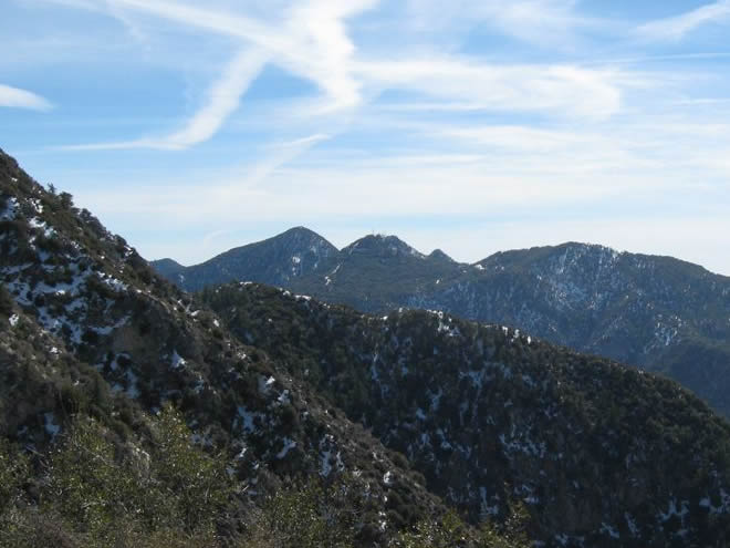

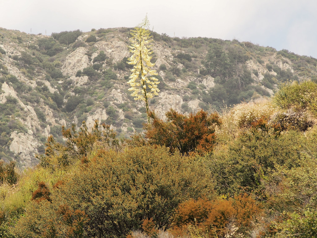 Castle CanyonHikingPhoto: JingKe888, CC BY 2.0 (via Flickr)0.1 miSam Merrill (Middle)HikingPhoto: JingKe888, CC BY 2.0 (via Flickr)0.1 mi
 Big Tujunga CreekCanoeingPhoto: MajaTrochimczyk, CC BY 3.0 us (via Wikimedia Commons)7.9 mi
 West Fork San Gabriel RiverCanoeingPhoto: Eeekster, CC BY 3.0 (via Wikimedia Commons)9.2 mi
Source: Roamze catalog (indexable pages within 10 miles, PostGIS distance)
Mount LoweSummit · ~3 min drivePhoto: The original uploader was Magi Media at English Wikipedia., CC BY-SA 3.0 (via Wikimedia Commons)San Gabriel PeakSummit · ~4 min drivePhoto: Justin.Johnsen, CC BY 3.0 (via Wikimedia Commons)Mount DisappointmentSummit · ~4 min drivePhoto: Justin, CC BY-SA 2.0 (via Wikimedia Commons) Mount WilsonSummit · ~6 min drivePhoto: The original uploader was Geographer at English Wikipedia., CC BY 1.0 (via Wikimedia Commons)
 Strawberry PeakSummit · ~9 min drivePhoto: Justin, CC BY-SA 2.0 (via Wikimedia Commons)
 Mount LukensSummit · ~13 min drivePhoto: Doc Searls from Santa Barbara, USA, CC BY 2.0 (via Wikimedia Commons)
 Mount HollywoodSummit · ~20 min drivePhoto: Dipsey, CC BY-SA 3.0 (via Wikimedia Commons)
 Mount LeeSummit · ~22 min drivePhoto: Downtowngal, CC BY-SA 3.0 (via Wikimedia Commons)
 Cahuenga PeakSummit · ~22 min drivePhoto: Junkyardsparkle, CC0 (via Wikimedia Commons)
 Workman HillSummit · ~28 min drivePhoto: Sergei Gussev, CC BY 2.0 (via Wikimedia Commons)
Also worth it near here

