Gould Mesa Trail Camp
Campground
Campground · 2.1 mi from the trail
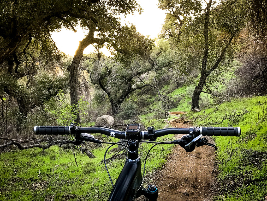
Flint Canyon Trail is an easy, short out-and-back hike in California, about 0.4 miles from the town of La Cañada Flintridge. The trail is roughly 1.6 miles long, with a total elevation gain of about 388 feet, and it climbs to a high point of about 1,184 feet from a starting elevation of about 1,124 feet. The most comfortable months are spring and fall, when typical averages from a nearby weather station in Pasadena run from highs around 73°F in March to about 83°F in October. The station sits about 320 feet lower than the trail's high point, so temperatures on the trail run a little cooler. The trip takes about half an hour. West Rim Trail is about 0.6 miles away, and Gould Canyon Trail and Conservancy Trail are within about a mile. Climbers can head to Bridge Boulder, about 1.6 miles off.
Gould Mesa Trail Camp
Campground
The Smoothie Stop
Fast food
 If it rainsDoncram, CC BY-SA 3.0 · Wikimedia Commons
Historic American Craftsman era stone building in Tujunga, Los Angeles County, California
Places © OpenStreetMap contributors · Photos: Doncram, CC BY-SA 3.0 (commons)
More in Acton Big Tujunga CreekCanoeingPhoto: MajaTrochimczyk, CC BY 3.0 us (via Wikimedia Commons)7.1 mi
Source: Roamze catalog (indexable pages within 10 miles, PostGIS distance)
 Cerro Negro TrailHiking · ~2 min drivePhoto: Demi Lucas, CC BY 3.0 (via Wikimedia Commons)Owl TrailHiking · ~2 min drivePhoto: Demi Lucas, CC BY 3.0 (via Wikimedia Commons)
 El Prieto TrailHiking · ~3 min drivePhoto: feverblue, CC BY-SA 2.0 (via Flickr)
 Gabrielino TrailHiking · ~4 min drivePhoto: Pintsmasher, CC BY 3.0 (via Wikimedia Commons)
 Catalina Verdugo TrailHiking · ~3 min drivePhoto: Charlie Hohn, CC BY 4.0 (via Wikimedia Commons)Nature Trial - UpperHiking · ~3 min drivePhoto: Charlie Hohn, CC BY 4.0 (via Wikimedia Commons)
 Sunset Ridge TrailHiking · ~6 min drivePhoto: Perfect Zero, CC BY 2.0 (via Flickr)Millard Canyon Crest TrailHiking · ~3 min drivePhoto: feverblue, CC BY-SA 2.0 (via Flickr)Gabrielino TrailHiking · ~3 min drivePhoto: feverblue, CC BY-SA 2.0 (via Flickr)
Also worth it near here
 Eagle RockRock climbing · ~6 min drivePhoto: Vahe Martirosyan, CC BY 2.0 (via Flickr)
 Altadena Crest TrailMountain biking · ~6 min drivePhoto: USMARINE0311 from California, United States, CC BY-SA 2.0 (via Wikimedia Commons)
Best months: October–June. Best months have typical highs of 55–85 °F, lows of 30 °F or warmer (32 °F where the station doesn't record snow), at most one snowy day and no more than 12 wet days.
Jan
68° / 45°
7 wet
Feb
69° / 46°
7 wet
Mar
73° / 48°
6 wet
Apr
76° / 51°
4 wet
May
78° / 54°
3 wet
Jun
84° / 58°
2 wet
Jul
89° / 62°
1 wet
Aug
91° / 63°
0 wet
Sep
90° / 62°
1 wet
Oct
83° / 56°
2 wet
Nov
75° / 50°
3 wet
Dec
67° / 45°
6 wet
Typical high / low (°F) and days with rain or snow, 1991–2020. Measured at Pasadena, CA, 3.9 mi away at 864 ft. Source: NOAA NCEI U.S. Climate Normals 1991–2020.
Map and trail data © OpenStreetMap contributors
