Gould Mesa Trail Camp
Campground
Campground · 0.4 mi from the trail
 Photo: Pintsmasher, CC BY 3.0 (via Wikimedia Commons)
Alert in the area
The Forest Service lists 7 alerts for Angeles National Forest.
Rincon-Redbox Road (2N24) Closure
Agency alert covering Angeles National Forest · Order 05-01-26-13 · USFS · Angeles National Forest
Fire Danger Level Elevated to "Very High"
Agency alert covering Angeles National Forest · USFS · Angeles National Forest
San Gabriel Canyon OHV Area Prohibitions
Agency alert covering Angeles National Forest · Order 05-01-26-09 · USFS · Angeles National Forest
San Dimas Experimental Forest Closure
Agency alert covering Angeles National Forest · USFS · Angeles National Forest
Eaton Fire Area Closure
Agency alert covering Angeles National Forest · Order 05-01-26-04 · USFS · Angeles National Forest
As of · Source: USFS · Angeles National Forest. Agencies don't list every closure — check before you go.
Gabrielino Trail is an out-and-back hike of about 14 miles in the Los Angeles Gateway Ranger District of Angeles National Forest in California. The trail starts and ends at 1,549 feet and climbs to 3,320 feet, with a total gain and loss of 4,692 feet over the round trip. The steepest stretch comes at about 3.7 miles, where the grade reaches 29%, and the route is rated expert. The Forest Service manages the land. The trip takes about seven hours. The climb is long and steep, so plan on time for the ascent and descent. Station Ridge Trail lies about half a mile away, and the Cross Town Trail -abandoned segment- is about a mile off. Climbers can reach Bridge Boulder at about 1.2 miles. Gould Mesa campground is roughly 2.6 miles away.
Gould Mesa Trail Camp
Campground
Rumah Makan Dataran Nilai
Middle eastern restaurant
 If it rainsBoothsift, CC BY-SA 4.0 · Wikimedia Commons
Places © OpenStreetMap contributors, Places © Overture Maps Foundation · Photos: Boothsift, CC BY-SA 4.0 (commons)
More in Acton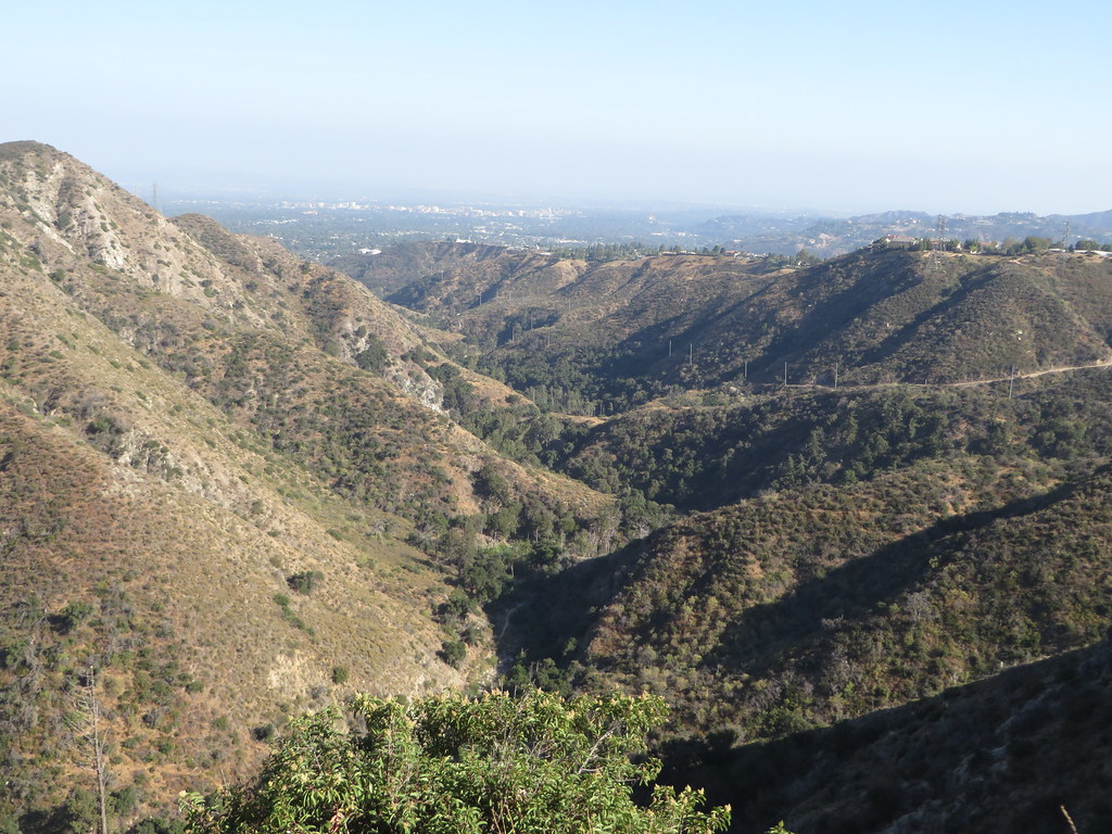 Station Ridge TrailHikingPhoto: Ken Lund, CC BY-SA 2.0 (via Flickr)0.6 miCross Town Trail -abandoned segment-HikingPhoto: Pintsmasher, CC BY 3.0 (via Wikimedia Commons)1 mi
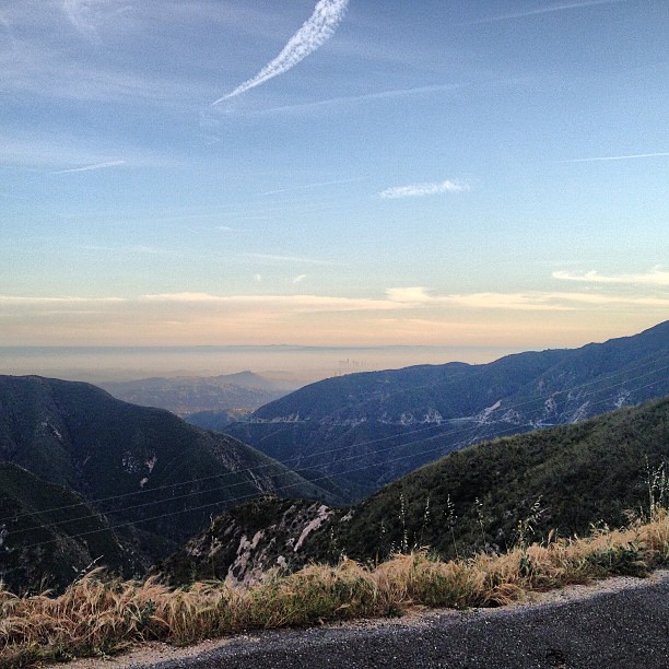 BurtonHikingPhoto: LouevilBelle, CC BY 2.0 (via Flickr)1.1 mi
 Big Tujunga CreekCanoeingPhoto: MajaTrochimczyk, CC BY 3.0 us (via Wikimedia Commons)5 mi
Source: Roamze catalog (indexable pages within 10 miles, PostGIS distance)
Station Ridge TrailHiking · Next doorPhoto: Ken Lund, CC BY-SA 2.0 (via Flickr)BurtonHiking · ~2 min drivePhoto: LouevilBelle, CC BY 2.0 (via Flickr) El Prieto TrailHiking · ~2 min drivePhoto: feverblue, CC BY-SA 2.0 (via Flickr)Gabrielino TrailHiking · ~1 min drivePhoto: feverblue, CC BY-SA 2.0 (via Flickr)La Canada Open Space TrailHiking · ~2 min drivePhoto: Pintsmasher, CC BY 3.0 (via Wikimedia Commons)
 Dark Canyon TrailHiking · ~3 min drivePhoto: Henrik Kibak, CC BY 4.0 (via Wikimedia Commons)Cross Town Trail -abandoned segment-Hiking · ~2 min drivePhoto: Pintsmasher, CC BY 3.0 (via Wikimedia Commons)Millard Canyon Crest TrailHiking · ~3 min drivePhoto: feverblue, CC BY-SA 2.0 (via Flickr)
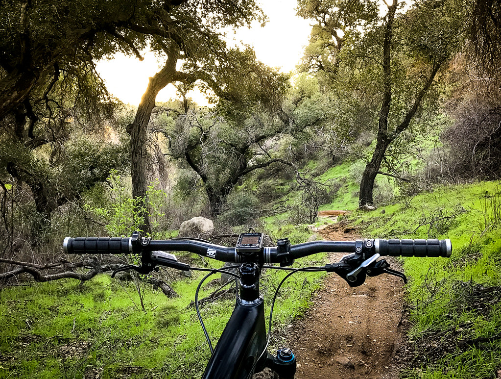 Sunset Ridge TrailHiking · ~4 min drivePhoto: Perfect Zero, CC BY 2.0 (via Flickr)Gabrielino TrailHiking · ~2 min drivePhoto: feverblue, CC BY-SA 2.0 (via Flickr)
Map and trail data © OpenStreetMap contributors

