Paradise Lake
Campground
Campground · 1.2 mi from the trail
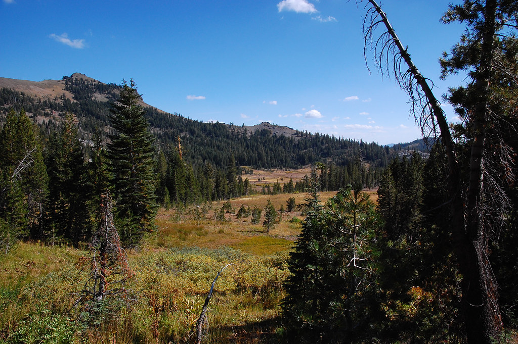 Photo: ilya_ktsn, CC BY 2.0 (via Flickr)
Alert in the area
The Forest Service lists an alert for Tahoe National Forest.
Camping and Campfire Restrictions-Truckee and Sierraville Districts
Agency alert covering Tahoe National Forest · Order 17-25-05 · USFS · Tahoe National Forest
As of · Source: USFS · Tahoe National Forest. Agencies don't list every closure — check before you go.
Warren Lake Trail is an easy out-and-back hike in California's Tahoe National Forest, within the Truckee Ranger District. The route is about 2.5 miles long and rises about 572 feet, with a high point of 8,615 feet. The climb starts steep, with a 16% grade just beyond the trailhead, but it is front-loaded and eases as you go. The trail begins at about 8,332 feet. The total round-trip gain and loss are each about 860 feet, so the trail is not a long climb. The Forest Service manages the land. The hike takes about 1.5 hours to complete. Warren Lake is about a mile away, and Sandridge Lake is about 1.2 miles off. For time on the water, Lower Castle Creek is about 2.7 miles away. Camping is available at White Rock, about 3.1 miles from the trail.
Paradise Lake
Campground
Donner Ski Ranch
Restaurant
Places © OpenStreetMap contributors
More in Sunnyside-Tahoe CityNot on Roamze yet. Their page has how to reach them.
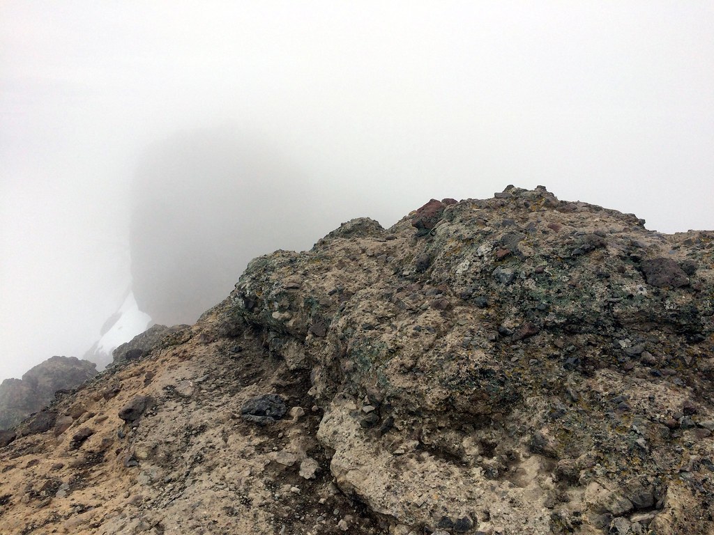 Warren LakeHikingPhoto: scorpio-tiger, CC BY-SA 2.0 (via Flickr)1 mi
 Sandridge LakeHikingPhoto: simonov, CC BY-SA 2.0 (via Flickr)1.2 mi
 Rated X BoulderRock climbingPhoto: Sack-Sama, CC BY-SA 2.0 (via Flickr)2.9 mi
Source: Roamze catalog (indexable pages within 10 miles, PostGIS distance)
 Warren LakeHiking · ~2 min drivePhoto: ilya_ktsn, CC BY 2.0 (via Flickr)Sandridge LakeHiking · ~2 min drivePhoto: simonov, CC BY-SA 2.0 (via Flickr)
 Pacific Crest National Scenic Trail #2000Hiking · ~3 min drivePhoto: ilya_ktsn, CC BY 2.0 (via Flickr)
 Donner Lake Rim TrailHiking · ~4 min drivePhoto: ray_explores, CC BY 2.0 (via Flickr)
 Castle Peak TrailHiking · ~3 min drivePhoto: simonov, CC BY-SA 2.0 (via Flickr)
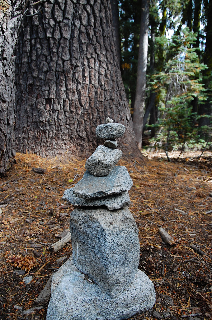 Paradise LakeHiking · ~3 min drivePhoto: ilya_ktsn, CC BY 2.0 (via Flickr)
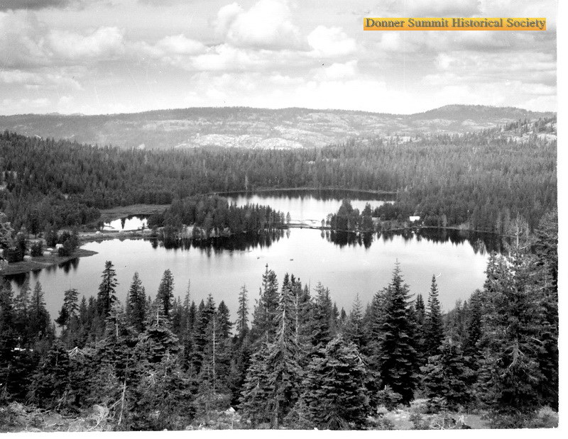 Walter and Esther Hewlett Royal Gorge Rim TrailHiking · ~10 min drivePhoto: donner summit historical society, Public Domain Mark (via Flickr)Pacific Crest TrailHiking · ~4 min drivePhoto: ray_explores, CC BY 2.0 (via Flickr)Pacific Crest National Scenic Trail #2000Hiking · ~5 min drivePhoto: ray_explores, CC BY 2.0 (via Flickr)Warren LakeHiking · ~2 min drivePhoto: scorpio-tiger, CC BY-SA 2.0 (via Flickr)
Map and trail data © OpenStreetMap contributors

