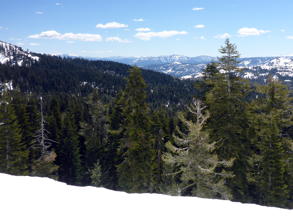
Rated X Boulder
Rated X Boulder in California has 7 bouldering routes with 5 difficulty grades.
 Photo: Sack-Sama, CC BY-SA 2.0 (via Flickr)
- 7 routes
- V4 – V10
- Bouldering
Is Rated X Boulder open right now?
Alert in the area
The Forest Service lists 2 alerts for Tahoe National Forest.
Stage 1 Fire Restrictions
Agency alert covering Tahoe National Forest · Order 17-26-25 · USFS · Tahoe National Forest
Camping and Campfire Restrictions-Truckee and Sierraville Districts
Agency alert covering Tahoe National Forest · Order 17-25-05 · USFS · Tahoe National Forest
As of · Source: USFS · Tahoe National Forest. Agencies don't list every closure — check before you go.
Best time to visit Rated X Boulder
Best months: June–August. Best months have typical highs of 55–85 °F, lows of 30 °F or warmer (32 °F where the station doesn't record snow), at most one snowy day and no more than 12 wet days.
Jan
40° / 15°
Feb
41° / 15°
Mar
48° / 19°
Apr
53° / 22°
May
62° / 28°
Jun
72° / 32°
Jul
80° / 37°
Aug
79° / 35°
Sep
73° / 31°
Oct
61° / 24°
Nov
49° / 20°
Dec
39° / 14°
Typical high / low (°F) and days with rain or snow, 1991–2020. Measured at Sagehen Creek, CA, 8 mi away at 6,337 ft. The station sits about 1,000 ft lower than this place, so expect it a little cooler here. This station doesn't record snowfall. Source: NOAA NCEI U.S. Climate Normals 1991–2020.
Rated X Boulder is a bouldering area in the Truckee Ranger District of Tahoe National Forest in California, managed by the Forest Service. It sits within a cluster of climbing and hiking spots, with the Summit Lake hike just 0.1 mile away and the Pacific Crest National Scenic Trail #2000 about 0.2 mile off. The area has seven bouldering routes, all rated on the V scale from V4 to V10. The most notable is the V4 "Rated X," which gives the area its name. Other routes include "Slippery, Sloppy, Slopey Sally" at V5 and "Girls in Office" at V10, which was first climbed by Michael Cohen on January 21, 2021. Summer is the most comfortable time to visit. Typical averages from the Sagehen Creek weather station, about 8 miles away, show July highs around 80°F with lows near 37°F, while winter highs stay in the low 40s. Trailside Boulders and Rest Stop Cliffs are both within a mile, and Milton Reservoir offers fishing about 2.4 miles away.
Keep exploring — more climbs worth the drive
 Photo: Dana L. Brown, CC BY-SA 2.0 (via Flickr)
The Perch
~3 min drive
Perch, The in California has 6 trad climbing routes across 5 grades.
 Photo: donner summit historical society, Public Domain Mark (via Flickr)
Cuckoo's Nest
~3 min drive
Cuckoo's Nest in California has 8 climbing routes with mixed, sport, and trad styles.
 Photo: Jonathan Fox, CC BY-SA 2.0 (via Wikimedia Commons)
Grouse #6
~3 min drive
Grouse #6 in California has 4 bouldering routes across 3 difficulty grades.
Photo: Jonathan Fox, CC BY-SA 2.0 (via Wikimedia Commons)East Face
~3 min drive
East Face in California has 24 climbing routes across 13 difficulty grades, offering mixed, sport, and trad styles.
Trailside Boulders
~1 min drive
Trailside Boulders in California has 6 bouldering routes.
Rest Stop Cliffs
~1 min drive
Rest Stop Cliffs in California has 4 routes spanning 4 difficulty grades, offering mixed and traditional climbing.
Summit Lake Boulders
~1 min drive
Summit Lake Boulders in California has 4 bouldering routes.
Black And Tan Wall
~2 min drive
Black And Tan Wall is a California climbing crag with 6 traditional routes.
Unknown Boulder
~2 min drive
6 bouldering routes in California, 5 difficulty grades.
Boreal Area
~2 min drive
High-elevation California crag in forested alpine setting with varied climbing.