Castle Peak
Campground
Campground · 1.3 mi from the trail
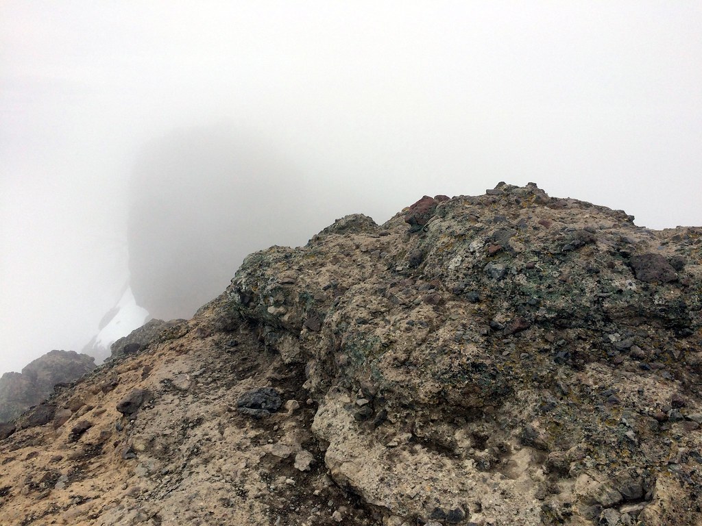 Photo: scorpio-tiger, CC BY-SA 2.0 (via Flickr)
Alert in the area
The Forest Service lists an alert for Tahoe National Forest.
Camping and Campfire Restrictions-Truckee and Sierraville Districts
Agency alert covering Tahoe National Forest · Order 17-25-05 · USFS · Tahoe National Forest
As of · Source: USFS · Tahoe National Forest. Agencies don't list every closure — check before you go.
Warren Lake is a 6-mile out-and-back hike in the Truckee Ranger District of Tahoe National Forest in California, managed by the Forest Service. The trail rises from a low point of 7,239 feet to a high of 8,367 feet, with an elevation gain of 1,184 feet. It is a hard route, and the climb is spread across the full length of the trail. The trail is open year-round, and the surface is natural. Bikes and horses are both allowed, so the route works for riders and pack animals as well as hikers. The Red Dot Trail lies about 0.8 miles away, and the Warren Lake Trail is about a mile off. Climbers can head to Rated X Boulder, about 1.9 miles away, and paddlers will find Lower Castle Creek about 2.3 miles from the trail.
Castle Peak
Campground
Donner Day Lodge
Restaurant
Places © OpenStreetMap contributors
More in Sunnyside-Tahoe CityNot on Roamze yet. Their page has how to reach them.
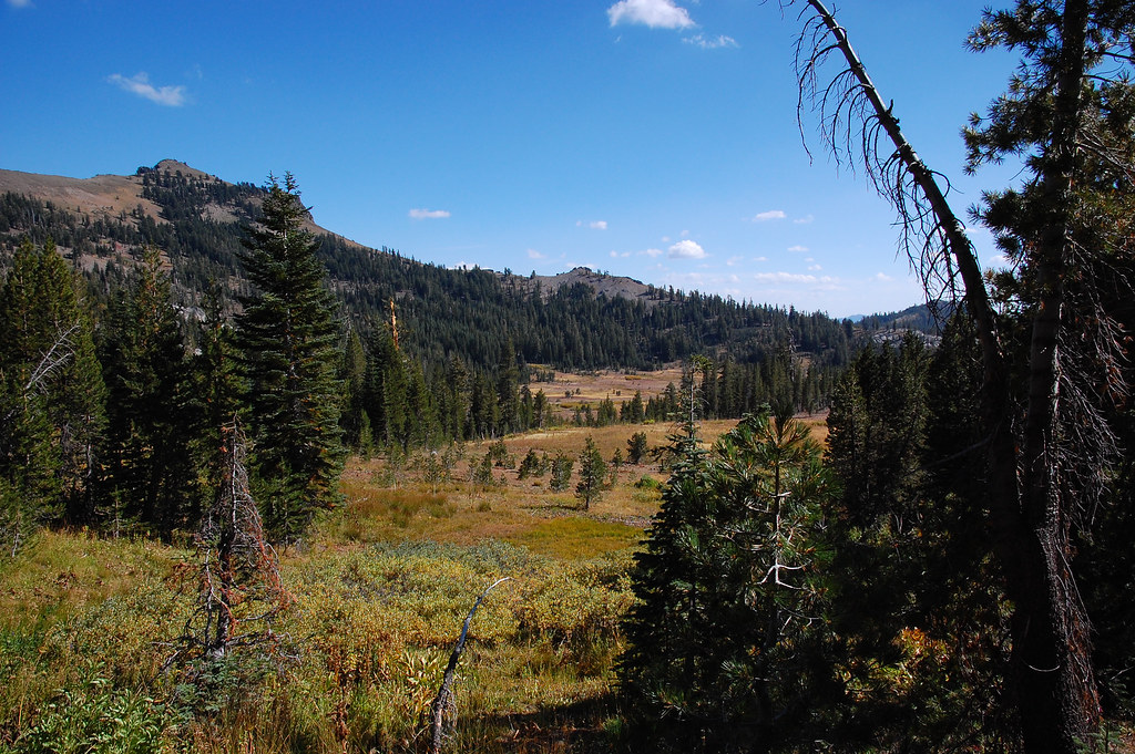 Photo: ilya_ktsn, CC BY 2.0 (via Flickr)
Warren Lake Trail
~2 min drive
2.46-mile out-and-back hike in California with 860 ft elevation gain.
 Photo: simonov, CC BY-SA 2.0 (via Flickr)
Castle Peak Trail
~2 min drive
2.54-mile out-and-back hike in California with 1,396 ft of elevation gain
 Photo: ray_explores, CC BY 2.0 (via Flickr)
Donner Lake Rim Trail
~3 min drive
24.92-mile out-and-back trail with 1,300 ft gain around Donner Lake in California
 Photo: ilya_ktsn, CC BY 2.0 (via Flickr)
Pacific Crest National Scenic Trail #2000
~4 min drive
46.34-mile out-and-back trail on the Pacific Crest National Scenic Trail in California with 7,335 ft gain/loss.
 Photo: simonov, CC BY-SA 2.0 (via Flickr)
Sandridge Lake
~2 min drive
1.13-mile out-and-back to Sandridge Lake in California with 139 ft of elevation gain.
Photo: ray_explores, CC BY 2.0 (via Flickr)Pacific Crest Trail
~3 min drive
2.4-mile out-and-back trail on the Pacific Crest Trail in California with 1,037 ft gain/loss.
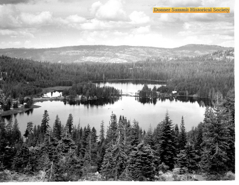 Photo: donner summit historical society, Public Domain Mark (via Flickr)
Walter and Esther Hewlett Royal Gorge Rim Trail
~9 min drive
5.82-mile out-and-back hike in California with 1,900 ft elevation gain and loss.
Photo: ray_explores, CC BY 2.0 (via Flickr)Pacific Crest National Scenic Trail #2000
~4 min drive
3.02-mile out-and-back on the Pacific Crest National Scenic Trail in California
 Photo: On^ste82, CC BY 3.0 (via Wikimedia Commons)
WARREN LAKE
~3 min drive
6.06-mile out-and-back trail in California with 2,324 ft elevation gain and loss.
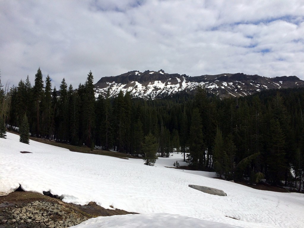 Photo: scorpio-tiger, CC BY-SA 2.0 (via Flickr)
Hole in the Ground
~3 min drive
16.58-mile out-and-back trail in California with 1,132 ft gain.

