Loading…

Free — you'll pick up right here.
Watch this trail
Sign up to watch it — saving subscribes you to gate, closure and report changes.
California
2,505 ft
Gain
We won't guess. Here is exactly what we do and don't know.
What we do know
Inside Sequoia National Park
National Park unit boundary is mapped — agency alerts for it feed this page automatically.
Boundary data
What's missing
No access route mapped
We don't yet know which road reaches this trailhead, so we can't tell you if it's gated.
Nobody's filed a report here yet — be the first.
Why you'll love it
Twin Lakes Trailhead
AI-suggested draft · review before you go
No permit or access details on file for this trail — check with the local land manager before you go.
<p>This trailhead orientation panel shows a map and images of the Twin Lakes Trail area.<br /> <br /> Twin Lakes Trail is a 6.8 mile (10.9 km) trail at a moderate incline. It travels through forests, meadows, and lakes. The first campsite is at Cahoon Meadow, after 3 miles (4.8 km).</p>
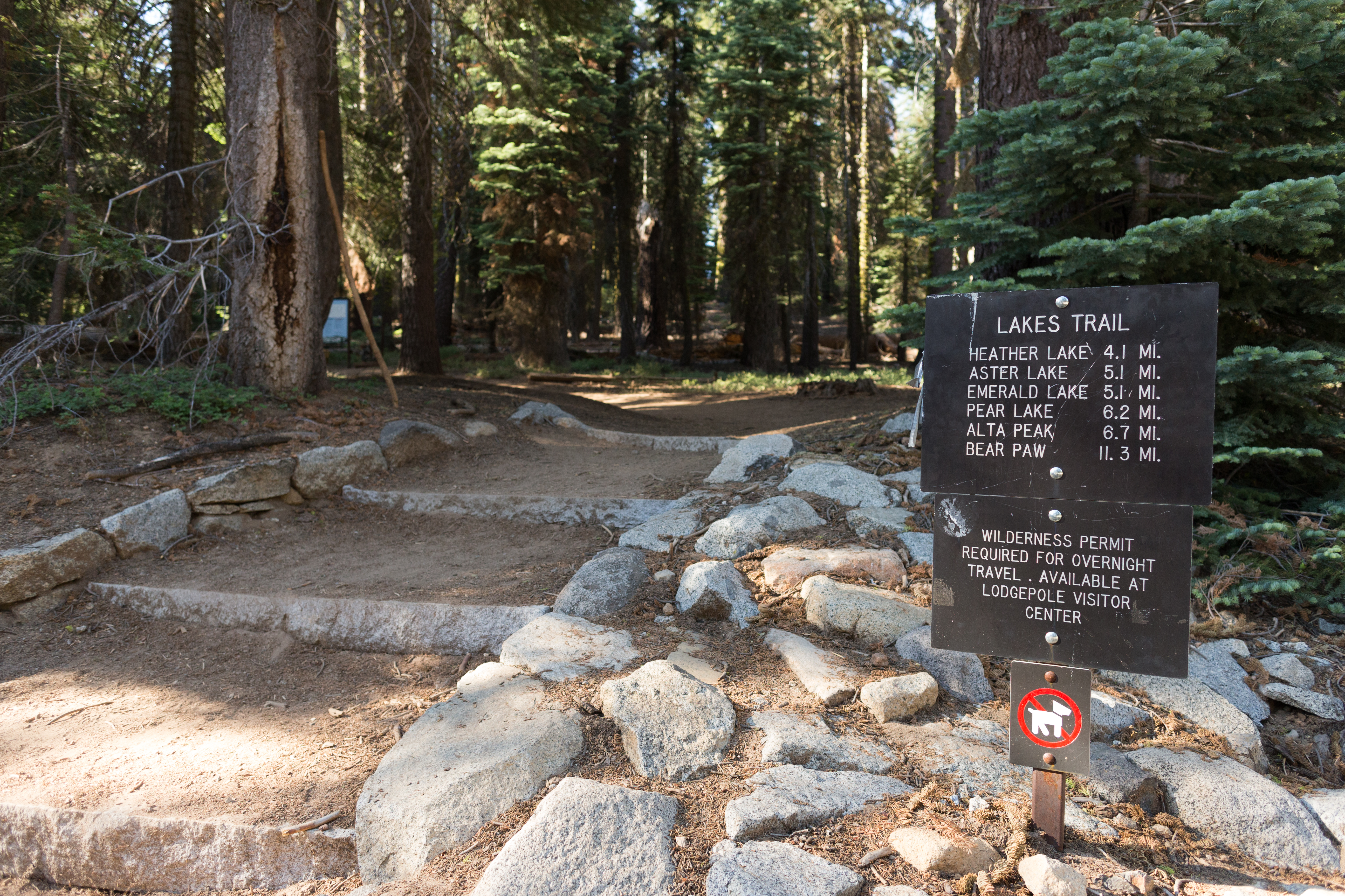
Lakes Trailhead
~1 min drive
<p>This trailhead orientation panel shows a map and images of the Lakes Trail area.<br /> <br /> The 6 mile one-way Lakes Trail is a moderately strenuous climb up through meadows and forests, along granite cliff overlooks, and to several lakes. Heather and Aster lakes are clos…
Jo Pass
~12 min drive
Scenic alpine pass hike with steady elevation gain and mountain views.
Stony Creek
~13 min drive
Moderate 7-mile creek trail with 2,500 ft elevation gain.
Mitchell Peak
~14 min drive
Short, steep summit climb with significant elevation gain.
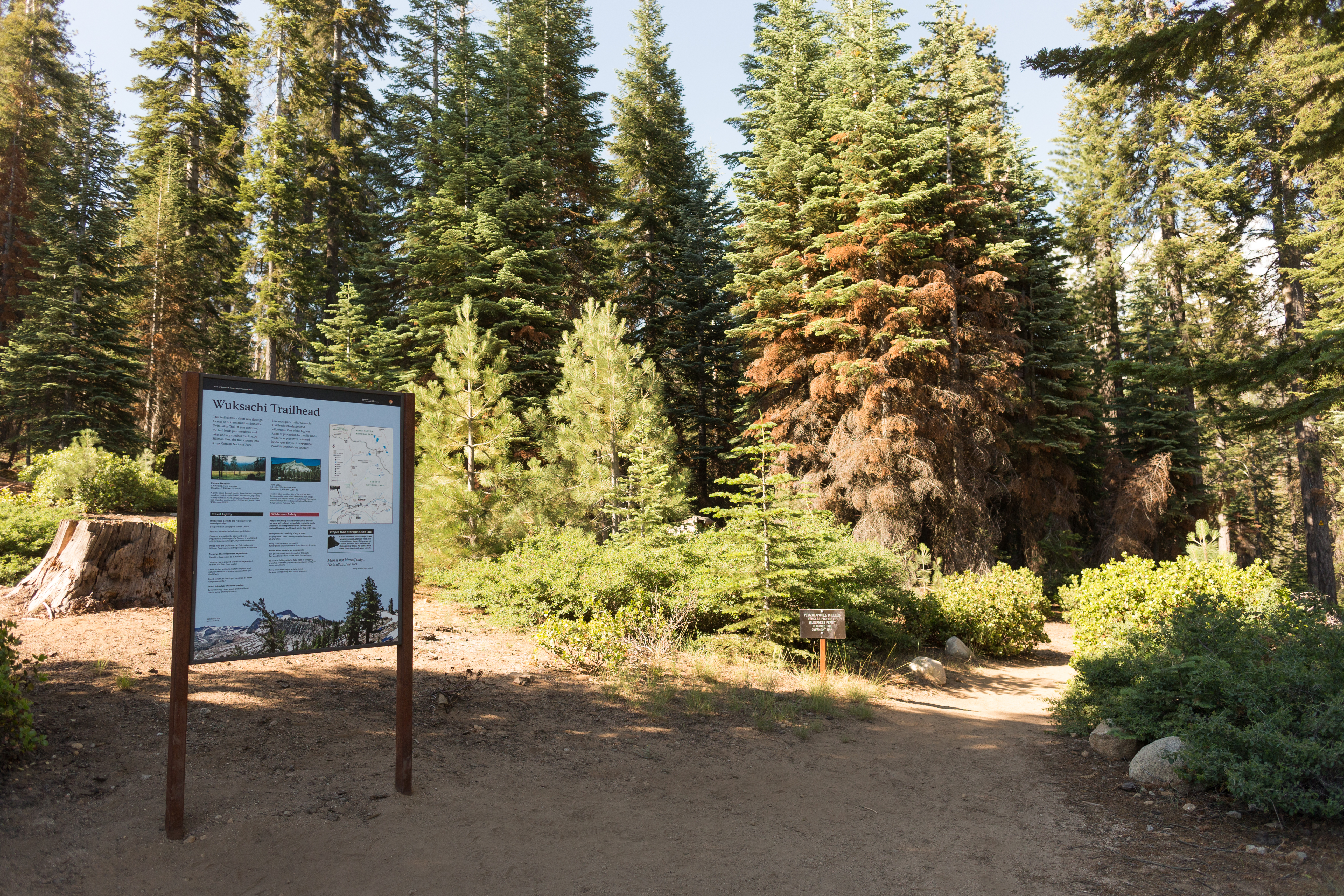
Wuksachi Trailhead
~3 min drive
<p>This trailhead orientation panel shows a map and photos of the Wuksachi Trailhead area.</p>
Seville Lakes
~13 min drive
Scenic alpine lakes hike with moderate elevation gain and rewarding views.
Jennie Lake
~15 min drive
Moderate Sierra alpine lake hike with steady elevation gain and scenic views.
Marvin Pass
~15 min drive
Short alpine pass hike with gentle elevation gain and accessible terrain.
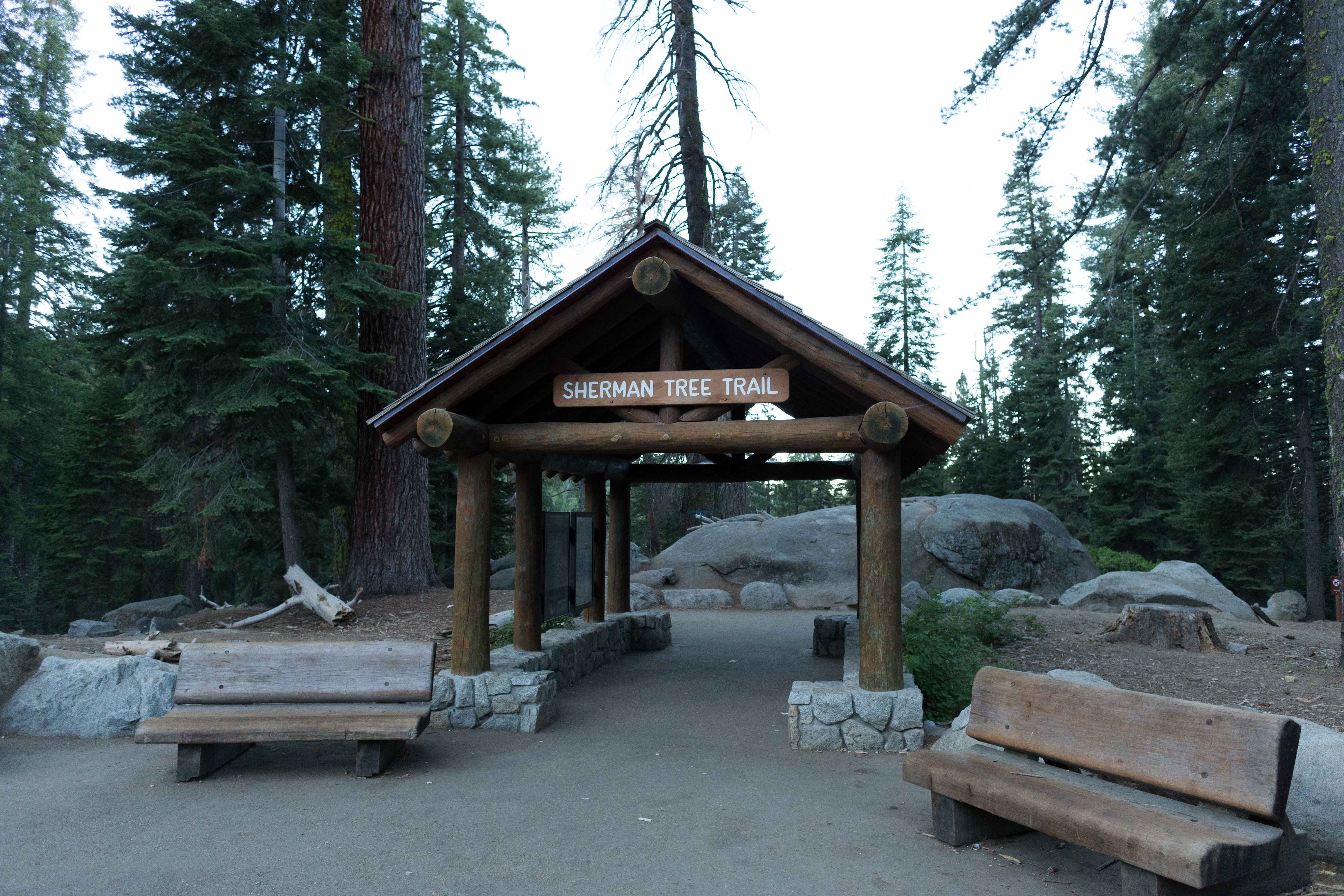
General Sherman Tree Main Trailhead
~4 min drive
<p>You are getting close to the famous General Sherman Tree. The volume of wood in its trunk alone makes it the largest tree in the world. As you walk the 0.5 miles (0.8 km) to it, you'll pass many other spectacular giants as well. At the bottom of the trail, you can stand by…
Rowell Meadow
~14 min drive
Moderate 5.6-mile climb to scenic high meadow with 1,635 ft elevation gain.