Lodgepole Campground-Sequoia and Kings Canyon National Park
Campground
Sites open the weekend of Nov 20 on Recreation.gov
 Photo: ryanbjorkquist, CC BY-SA 2.0 (via Flickr)
No closures listed
The National Park Service lists no closures for Sequoia National Park.
As of · Source: NPS · Sequoia National Park. Agencies don't list every closure — check before you go.
Silliman Lake Use Trail is a 2.7-mile out-and-back hike in Sequoia National Park, within the Sequoia-Kings Canyon Wilderness in California. The trail starts at about 7,620 feet and climbs to a high point of 8,527 feet, with a total elevation gain of 1,154 feet. The route is rolling, and the steepest stretch comes at about 1.1 miles in, where the grade reaches 26 percent. The National Park Service manages the land. The hike takes about 1.5 hours to complete. It is a moderate route, and the trail is open year-round. Lodgepole Campground-Sequoia and Kings Canyon National Park sits about 1.3 miles away, and the Twin Lakes Trailhead and Tokapah Falls are each about 1.5 miles off. Wuksachi Lodge, a climbing area, is about 1.6 miles away.
Lodgepole Campground-Sequoia and Kings Canyon National Park
Campground
 If it rainsDavid Fulmer, CC BY 2.0 · Wikimedia Commons
Giant Forest Museum
Museum
Places © OpenStreetMap contributors · Photos: David Fulmer, CC BY 2.0 (commons)
More in Silver CityNot on Roamze yet. Their page has how to reach them.
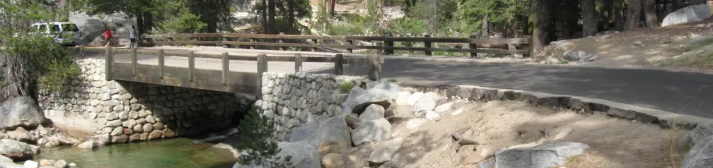 Lodgepole Campground-Sequoia and Kings Canyon National ParkCampingPhoto: Recreation.gov (RIDB) / public domain1.3 mi
 Twin Lakes TrailheadHiking1.5 mi
 Tokapah FallsHikingPhoto: JingKe888, CC BY 2.0 (via Flickr)1.5 mi
 Tokopah ValleyRock climbingPhoto: gary_leavens, CC BY-SA 2.0 (via Flickr)1.9 mi
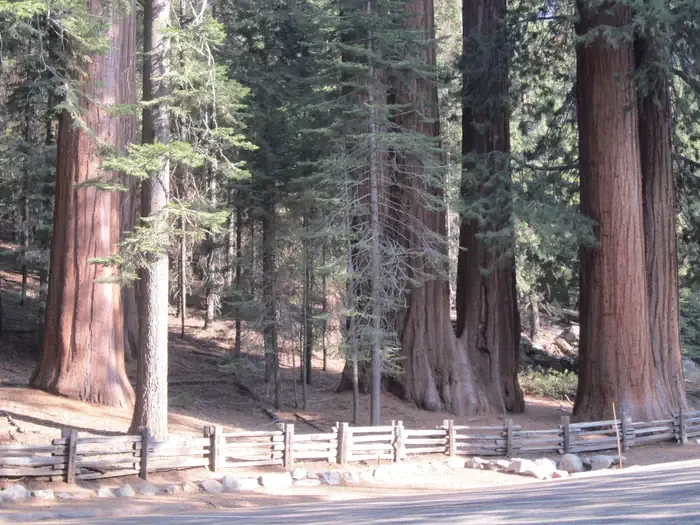 Dorst Creek Campground-Sequoia and Kings Canyon National ParkCampingPhoto: Recreation.gov (RIDB) / public domain4.3 mi
Source: Roamze catalog (indexable pages within 10 miles, PostGIS distance)
 Silliman Pass SouthHiking · ~3 min drivePhoto: ryanbjorkquist, CC BY-SA 2.0 (via Flickr)Tokapah FallsHiking · ~3 min drivePhoto: JingKe888, CC BY 2.0 (via Flickr)
 Alta-Panther GapHiking · ~5 min drivePhoto: gary_leavens, CC BY-SA 2.0 (via Flickr)
 Wolverton CutoffHiking · ~6 min drivePhoto: NealVickers, CC BY-SA 4.0 (via Wikimedia Commons)
 Silliman Pass NorthHiking · ~6 min drivePhoto: ryanbjorkquist, CC BY-SA 2.0 (via Flickr)
Also worth it near here
 Mount SillimanSummit · ~4 min drivePhoto: Erik Fitzpatrick, CC BY 2.0 (via Wikimedia Commons)
 Tokopah FallsWaterfall · ~5 min drivePhoto: JERRYE AND ROY KLOTZ MD, CC BY-SA 3.0 (via Wikimedia Commons)
Map and trail data © OpenStreetMap contributors
