Trestle Loop
 Photo: Ken Lund, CC BY-SA 2.0 (via Flickr)
- 1.1 mi
- loop
- 807 ft
- climb
- 620 ft
- high point
- Loop
- route
- May–Oct
- best months
Is Trestle Loop open right now?
Alert in the area
The National Park Service lists an alert for Redwood National Park.
Delays along Highway 101
Park alert covering Redwood National Park · NPS · Redwood National Park
As of · Source: NPS · Redwood National Park. Agencies don't list every closure — check before you go.
Trestle Loop is a 1.07-mile hike in the California redwoods, with an elevation gain of 807 feet. The trail lies at the overlap of Redwood National Park and Del Norte Coast Redwoods State Park, where the state park system manages the land. The climb is rated easy, and the trip takes about an hour. The route gains about 800 feet from a start elevation of 422 feet to a high point of 620 feet. The steepest stretch comes around 0.41 miles in, with a 16% grade. It is a short outing that makes a quick stop or a link with other trails in the area. Late summer into early fall is the driest stretch. Typical averages from the Klamath weather station, about 8.5 miles away, show highs near 66 to 67°F from July through September, with only two or three wet days a month. Winter is much wetter, with 16 to 18 wet days a month from December through February. The Coastal Trail lies about 2 miles away, and the Bense Trail and East Fork Mill Creek are each about 2.3 miles off. For an overnight, Big Flat campground is roughly 10 miles away.
 Coastal TrailHikingPhoto: holisticmonkey, CC BY 2.0 (via Flickr)2.1 mi
- East Fork Mill CreekCanoeing2.3 mi
- Bense TrailHiking2.3 mi
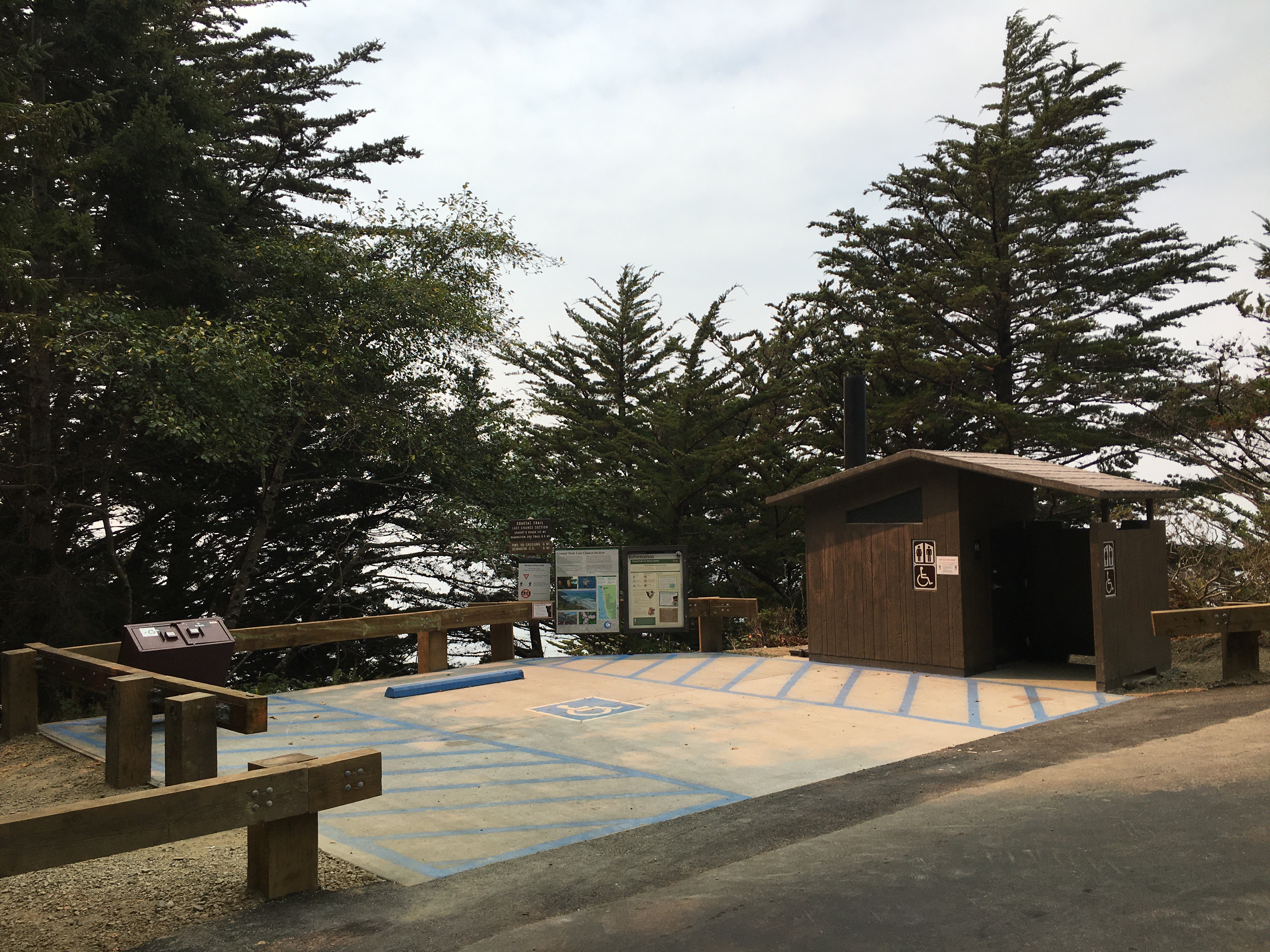 Coastal Trail: Last Chance Grade (North)HikingPhoto: NPS Photo / G Litten2.4 mi
- Mill CreekCanoeing4.3 mi
- North FaceRock climbing6 mi
- North RockRock climbing6 mi
- Big FlatCamping9.8 mi
Source: Roamze catalog (indexable pages within 10 miles, PostGIS distance)
 Alder Basin TrailHiking · Next doorPhoto: Ken Lund, CC BY-SA 2.0 (via Flickr)
- Coastal Trail: Last Chance Grade (North)Hiking · ~4 min drive
 Damnation Creek TrailHiking · ~6 min drivePhoto: Ken Lund, CC BY-SA 2.0 (via Flickr)
 Craigs Creek TrailHiking · ~12 min drivePhoto: Ken Lund, CC BY-SA 2.0 (via Flickr)
 California Coastal TrailHiking · ~11 min drivePhoto: Pussreboots, CC BY 2.0 (via Flickr)
- Saddler Skyline TrailHiking · Next doorPhoto: Ken Lund, CC BY-SA 2.0 (via Flickr)
 Mill Creek Horse Trail (North)Hiking · ~6 min drivePhoto: Tori Sloane, CC BY-SA 3.0 (via Wikimedia Commons)
- Coastal TrailHiking · ~4 min drivePhoto: holisticmonkey, CC BY 2.0 (via Flickr)
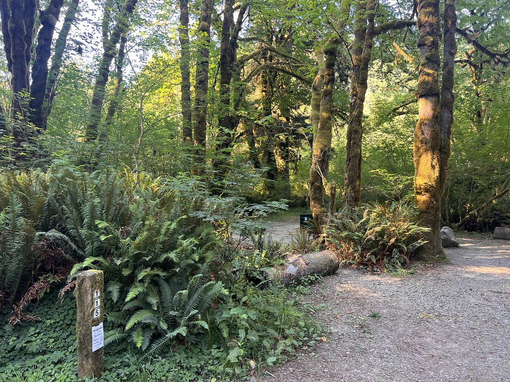 Nature Loop TrailHiking · Next doorPhoto: Ken Lund, CC BY-SA 2.0 (via Flickr)
 Rellim Ridge TrailHiking · ~7 min drivePhoto: Tori Sloane, CC BY-SA 3.0 (via Wikimedia Commons)
Best time to visit Trestle Loop
Best months: May–October. Best months have typical highs of 55–85 °F, lows of 30 °F or warmer (32 °F where the station doesn't record snow), at most one snowy day and no more than 12 wet days.
Jan
55° / 39°
18 wet
Feb
56° / 39°
16 wet
Mar
57° / 40°
16 wet
Apr
59° / 43°
15 wet
May
61° / 46°
10 wet
Jun
64° / 47°
5 wet
Jul
66° / 53°
2 wet
Aug
66° / 51°
2 wet
Sep
67° / 50°
3 wet
Oct
63° / 45°
7 wet
Nov
58° / 41°
15 wet
Dec
54° / 38°
18 wet
Typical high / low (°F) and days with rain or snow, 1991–2020. Measured at Klamath, CA, 8.5 mi away at 28 ft. The station sits about 600 ft lower than this place, so expect it a little cooler here. Source: NOAA NCEI U.S. Climate Normals 1991–2020.
Map and trail data © OpenStreetMap contributors
