Coastal Trail
 Photo: holisticmonkey, CC BY 2.0 (via Flickr)
- 4.4 mi
- round trip
- 3,995 ft
- climb
- 1,108 ft
- high point
- Out and back
- route
- May–Oct
- best months
Caution at last check
Weather is marginal · OpenWeather · checked 14 h ago
Is Coastal Trail open right now?
Alert in the area
The National Park Service lists an alert for Redwood National Park.
Delays along Highway 101
Park alert covering Redwood National Park · NPS · Redwood National Park
As of · Source: NPS · Redwood National Park. Agencies don't list every closure — check before you go.
Coastal Trail is a hard hike in northern California, crossing between Redwood National Park and Del Norte Coast Redwoods State Park, where the state manages the land. The trail is an out-and-back route of about 8.8 miles, with a high point of 1,108 feet and a total elevation gain of 3,995 feet over the course of the round trip. The climb is steady, but the steepest stretch comes at about 3.5 miles, with a grade of 38 percent. Summer and early fall are the driest and mildest time to go. At a nearby weather station in Klamath, typical July and August highs average about 66°F with only two wet days a month, and September brings highs near 67°F. That station sits well below the trail, so temperatures on the route run cooler. Plan for about five hours on the trail. The closest neighbors include the Trestle Loop, 2.1 miles away, and the Coastal Trail: Last Chance Grade (North), 2.4 miles away. Climbers can find North Face about 4.1 miles off, and paddlers can reach East Fork Mill Creek, 4.4 miles away.
 Trestle LoopHikingPhoto: Ken Lund, CC BY-SA 2.0 (via Flickr)2.1 mi
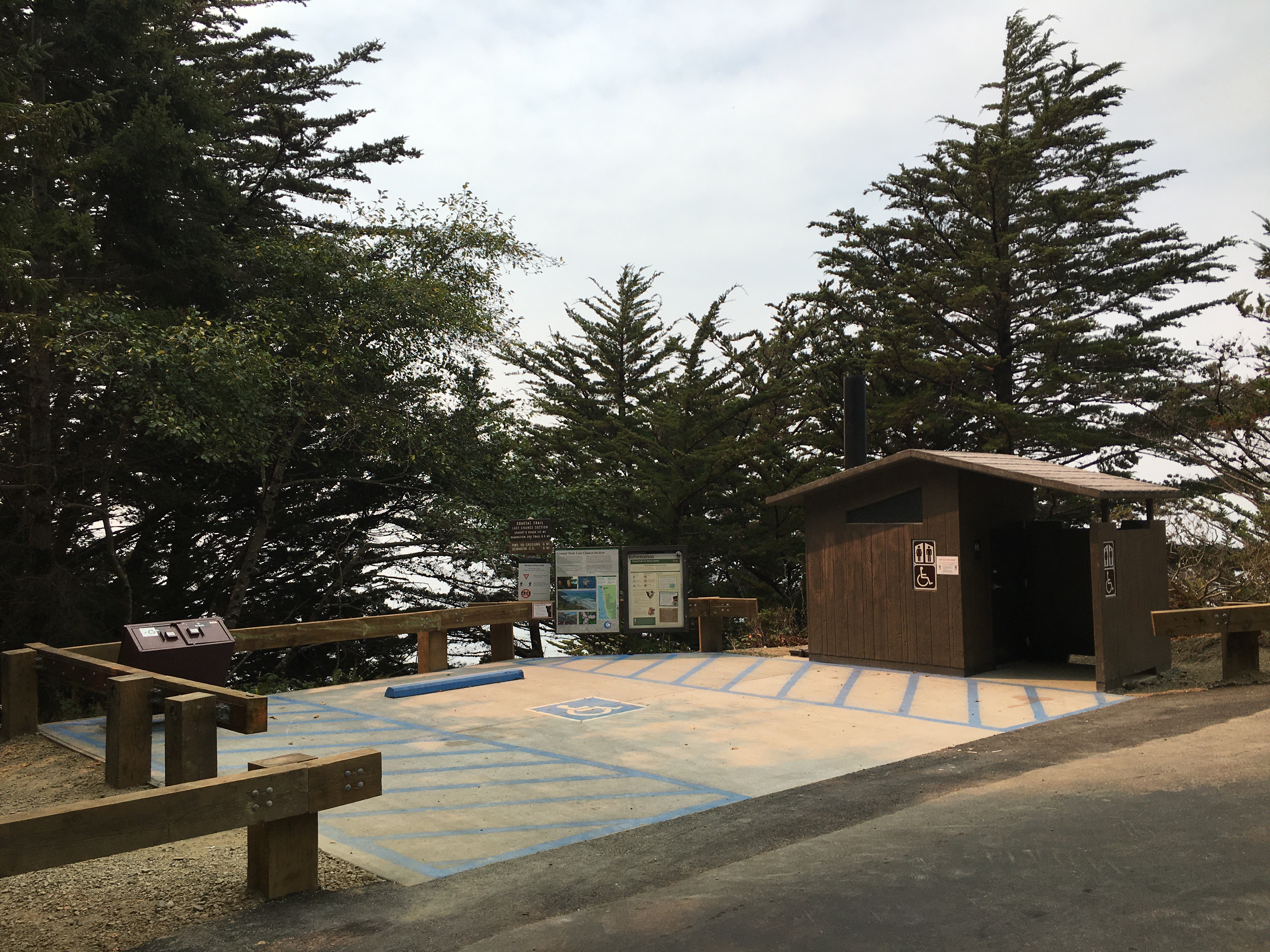 Coastal Trail: Last Chance Grade (North)HikingPhoto: NPS Photo / G Litten2.4 mi
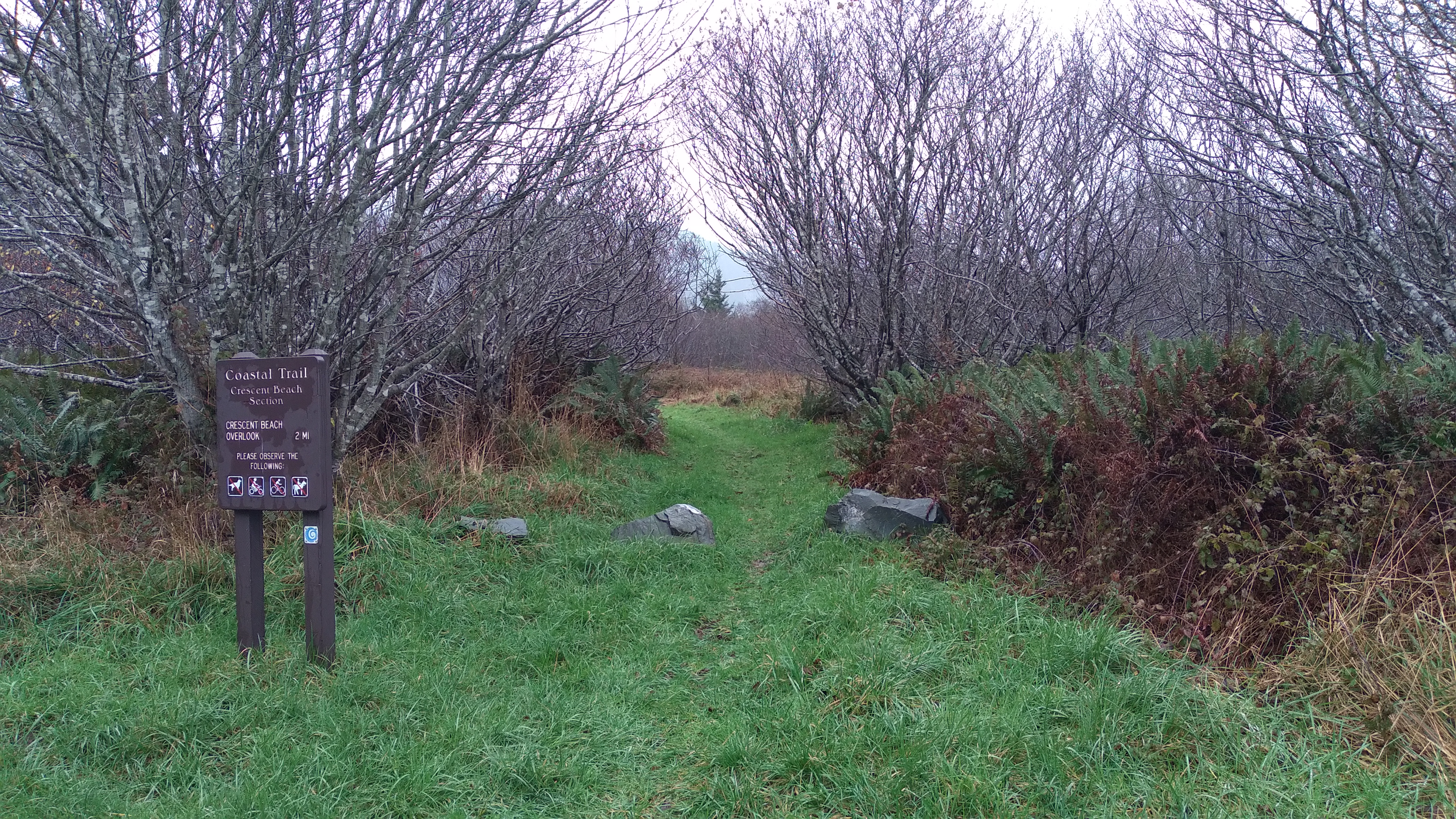 Coastal Trail: Crescent BeachHiking3.9 mi
- North FaceRock climbing4.1 mi
- North RockRock climbing4.2 mi
- Footsteps RockRock climbing4.2 mi
- East Fork Mill CreekCanoeing4.4 mi
- Mill CreekCanoeing6.2 mi
Source: Roamze catalog (indexable pages within 10 miles, PostGIS distance)
 Damnation Creek TrailHiking · ~3 min drivePhoto: Ken Lund, CC BY-SA 2.0 (via Flickr)
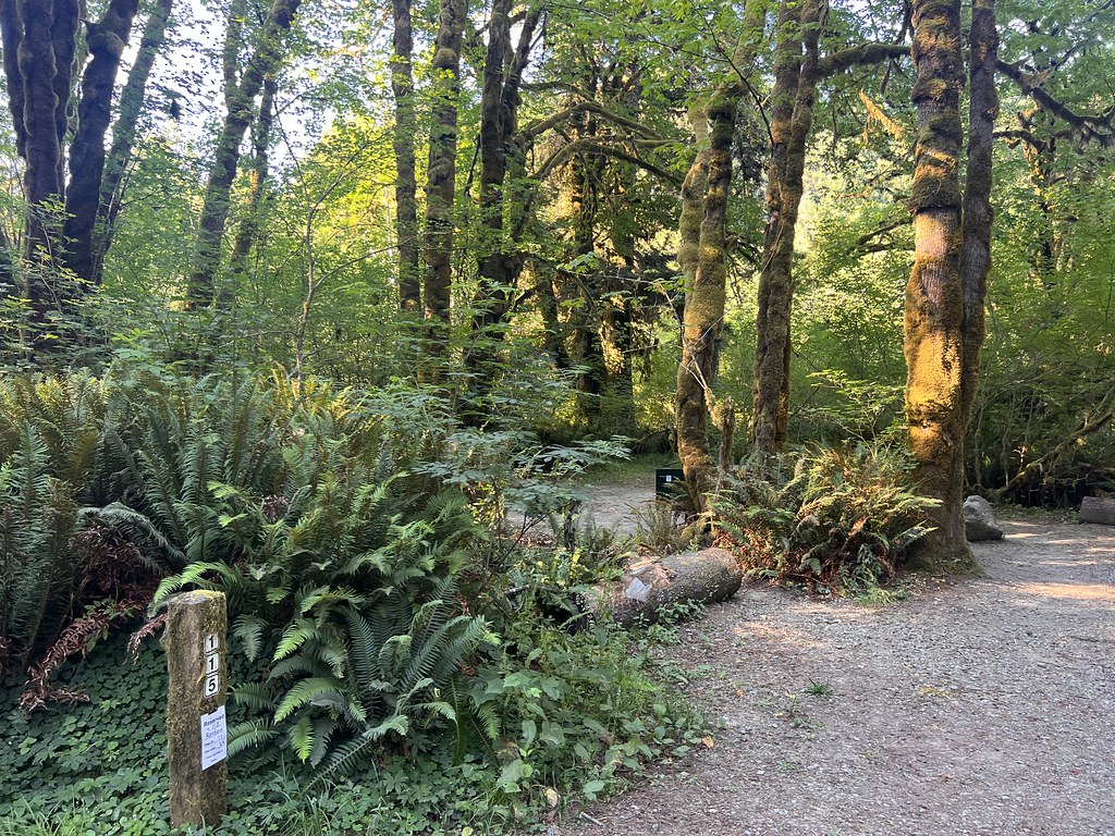 Nature Loop TrailHiking · ~3 min drivePhoto: Ken Lund, CC BY-SA 2.0 (via Flickr)
 Little Bald HillsHiking · ~13 min drivePhoto: BLUE • ǝnןq, CC BY 2.0 (via Flickr)
- Coastal Trail: Last Chance Grade (North)Hiking · ~4 min drive
 California Coastal TrailHiking · ~9 min drivePhoto: Pussreboots, CC BY 2.0 (via Flickr)
 Mill Creek Horse Trail (North)Hiking · ~9 min drivePhoto: Tori Sloane, CC BY-SA 3.0 (via Wikimedia Commons)
 Saddler Skyline TrailHiking · ~3 min drivePhoto: Ken Lund, CC BY-SA 2.0 (via Flickr)
 Coastal TrailHiking · ~14 min drivePhoto: NPS Photo, Public domain (via Wikimedia Commons)
 Rellim Ridge TrailHiking · ~10 min drivePhoto: Tori Sloane, CC BY-SA 3.0 (via Wikimedia Commons)
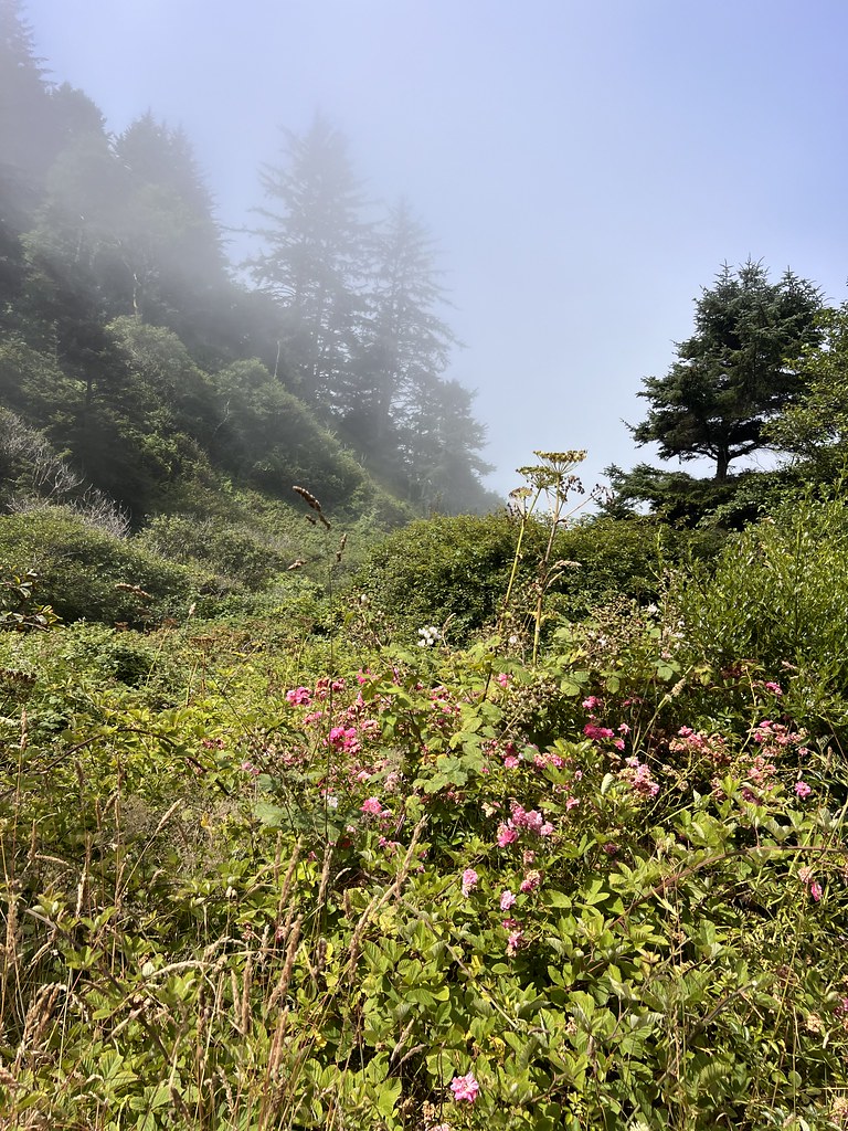 Nickel Creek TrailHiking · ~3 min drivePhoto: Ken Lund, CC BY-SA 2.0 (via Flickr)
Best time to visit Coastal Trail
Best months: May–October. Best months have typical highs of 55–85 °F, lows of 30 °F or warmer (32 °F where the station doesn't record snow), at most one snowy day and no more than 12 wet days.
Jan
55° / 39°
18 wet
Feb
56° / 39°
16 wet
Mar
57° / 40°
16 wet
Apr
59° / 43°
15 wet
May
61° / 46°
10 wet
Jun
64° / 47°
5 wet
Jul
66° / 53°
2 wet
Aug
66° / 51°
2 wet
Sep
67° / 50°
3 wet
Oct
63° / 45°
7 wet
Nov
58° / 41°
15 wet
Dec
54° / 38°
18 wet
Typical high / low (°F) and days with rain or snow, 1991–2020. Measured at Klamath, CA, 7.1 mi away at 28 ft. The station sits about 1,100 ft lower than this place, so expect it a little cooler here. Source: NOAA NCEI U.S. Climate Normals 1991–2020.
Map and trail data © OpenStreetMap contributors
