Damnation Creek Trail
 Photo: Ken Lund, CC BY-SA 2.0 (via Flickr)
- 2.1 mi
- round trip
- 1,050 ft
- climb
- Out and back
- route
- Moderate
- difficulty
- May–Oct
- best months
Is Damnation Creek Trail open right now?
Closure in the area
There's a closure order in Redwood National Park. It doesn't name Damnation Creek Trail, so check the source for the area it covers.
Closure: Lady Bird Johnson Grove Parking Lot
Park closure covering Redwood National Park · NPS · Redwood National Park
Delays along Highway 101
Park alert covering Redwood National Park · NPS · Redwood National Park
As of · Source: NPS · Redwood National Park. Agencies don't list every closure — check before you go.
Damnation Creek Trail is a 4.2-mile out-and-back hike in California with 1,050 feet of elevation gain. The trail follows a stream valley through the park's backcountry.
- Nearby · Coastal Trail · Nature Loop Trail · Hobbs Wall Trail
Best time to go · May–Oct
Best time to visit Damnation Creek Trail
Best months: May–October. Best months have typical highs of 55–85 °F, lows of 30 °F or warmer (32 °F where the station doesn't record snow), at most one snowy day and no more than 12 wet days.
Jan
55° / 39°
18 wet
Feb
56° / 39°
16 wet
Mar
57° / 40°
16 wet
Apr
59° / 43°
15 wet
May
61° / 46°
10 wet
Jun
64° / 47°
5 wet
Jul
66° / 53°
2 wet
Aug
66° / 51°
2 wet
Sep
67° / 50°
3 wet
Oct
63° / 45°
7 wet
Nov
58° / 41°
15 wet
Dec
54° / 38°
18 wet
Typical high / low (°F) and days with rain or snow, 1991–2020. Measured at Klamath, CA, 5.7 mi away at 28 ft. We don't have this place's elevation, so higher spots nearby can run cooler. Source: NOAA NCEI U.S. Climate Normals 1991–2020.
Keep exploring — more trails worth the drive
 Photo: Ken Lund, CC BY-SA 2.0 (via Flickr)
Coastal Trail
~1 min drive
5.34-mile out-and-back coastal trail in California with 2,745 ft elevation gain
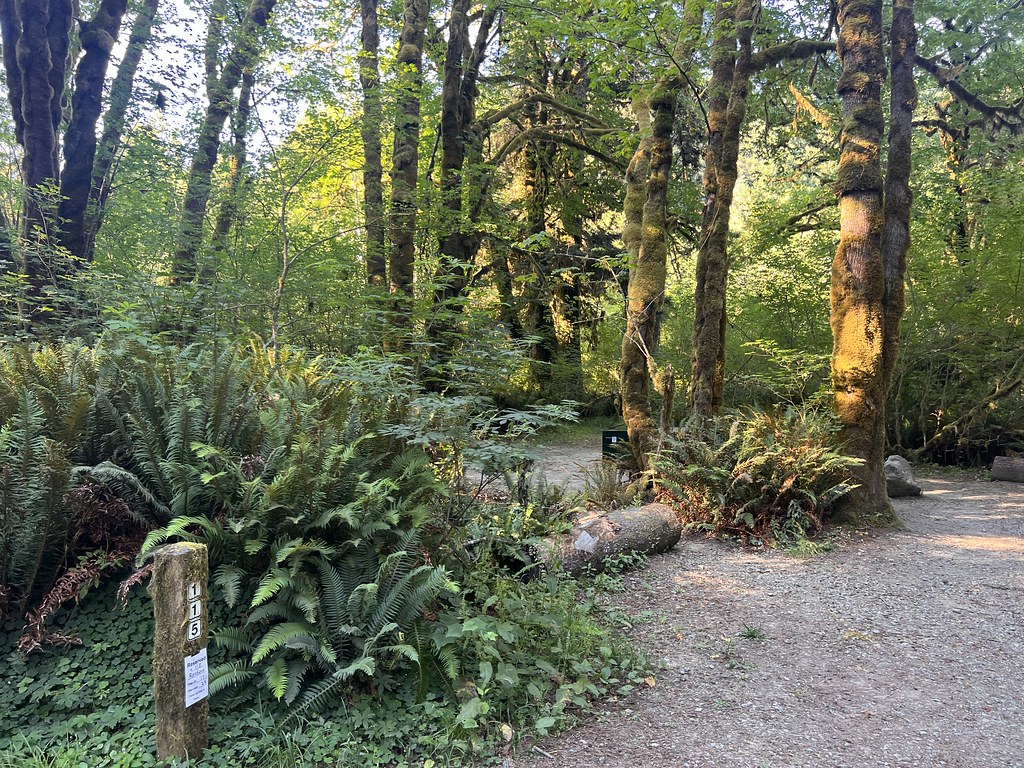 Photo: Ken Lund, CC BY-SA 2.0 (via Flickr)
Nature Loop Trail
~5 min drive
0.66-mile out-and-back hike in California with 72 ft of elevation gain.
 Photo: Ken Lund, CC BY-SA 2.0 (via Flickr)
Hobbs Wall Trail
~5 min drive
3.49-mile loop trail in California with 613 ft elevation gain.
 Photo: Pussreboots, CC BY 2.0 (via Flickr)
California Coastal Trail
~6 min drive
12.1-mile out-and-back hike on the California Coastal Trail with 3,132 ft elevation gain
HIKE
Coastal Trail: Last Chance Grade (North)
~6 min drive
This trailhead is used mostly by hikers going to Enderts Beach. Additionally, the trail continues south for 13 miles to the Damnation Creek Trailhead - and beyond. This section of the California Coastal Trail is a "hike and bike" trail. It follows the old California Coastal…
 Photo: holisticmonkey, CC BY 2.0 (via Flickr)
Coastal Trail
~3 min drive
8.78-mile out-and-back coastal trail in California with 3,995 ft gain
Photo: Ken Lund, CC BY-SA 2.0 (via Flickr)Saddler Skyline Trail
~5 min drive
3.1-mile out-and-back trail in California with 302 ft elevation gain.
 Photo: Tori Sloane, CC BY-SA 3.0 (via Wikimedia Commons)
Mill Creek Horse Trail (North)
~12 min drive
6.22-mile out-and-back trail in California with 1,771 ft elevation gain and loss.
HIKE
California Coastal Trail Flint Ridge
~16 min drive
7.46-mile out-and-back trail in California with 4,008 ft elevation gain/loss.
 Photo: NPS Photo, Public domain (via Wikimedia Commons)
Coastal Trail
~12 min drive
6.24-mile out-and-back trail in California with 2,535 ft elevation gain
