
Turtle Rock RV Resort
Hiking business nearby (~49 mi away) — hasn't claimed their Roamze page yet
Coastal Trail: Last Chance Grade (North)
Free — you'll pick up right here.
Watch this trail
Sign up to watch it — saving subscribes you to gate, closure and report changes.
California
We won't guess. Here is exactly what we do and don't know.
What we do know
Inside Redwood National Park
National Park unit boundary is mapped — agency alerts for it feed this page automatically.
Boundary data
What's missing
No access route mapped
We don't yet know which road reaches this trailhead, so we can't tell you if it's gated.
Nobody's filed a report here yet — be the first.
Coastal Trail: Last Chance Grade (North)
AI-suggested draft · review before you go
No elevation data on file for this trail.
No permit or access details on file for this trail — check with the local land manager before you go.
This trailhead is used mostly by hikers going to <a href="https://www.nps.gov/places/endertsbeach.htm">Enderts Beach</a>. Additionally, the trail continues south for 13 miles to the Damnation Creek Trailhead - and beyond.<br /> <br /> This section of the California Coastal Trail is a "hike and bike" trail. It follows the old California Coastal Highway and it climbs 2,800 feet. However many parts of the trail are eroding, and it can be overgrown. Mountain bikes will be the best kind of bicycle to use on this trail.<br /> <br /> Safety Tips <ul> <li>We recommend you purchase and use a good map and trail guide for your adventures in Redwood National and State Parks.</li> <li>Don’t rely on online maps when you are here.To protect the habitats, leave no trace also means staying on the developed trail.</li> <li>Please don’t go off-trail and make any new trails. These forests grow by the inch, and will die by your foot.To protect the wildlife (and you and other visitors), pets are not allowed on park trails.</li> <li>Cell coverage is very limited and cannot be relied on in an emergency. Have a plan for checking in and checking out with a friend when you are here.</li> </ul>
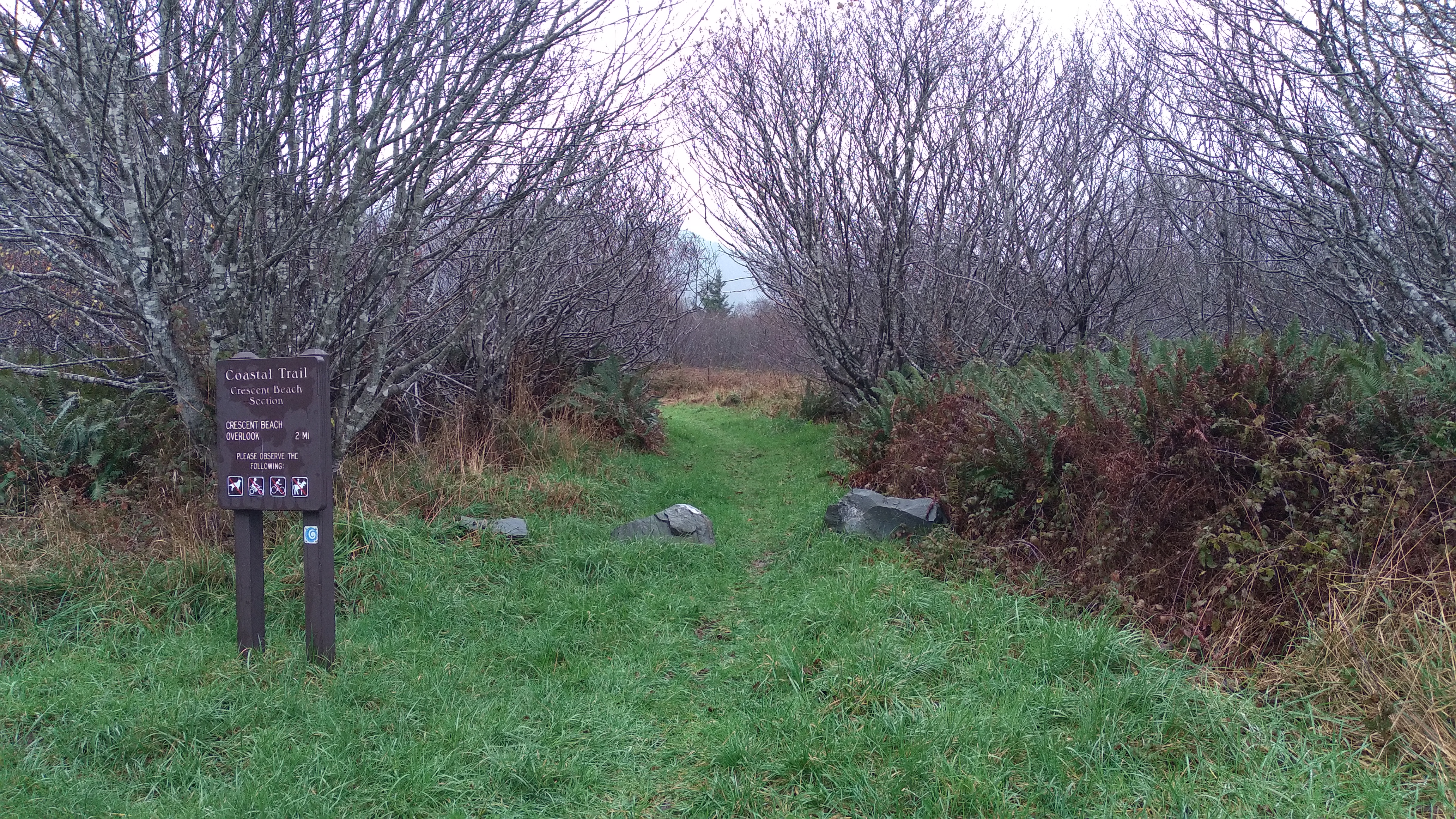
Coastal Trail: Crescent Beach
~3 min drive
<strong>Location</strong>: Redwood National Park<br /> <strong>Trailhead</strong>: Crescent Beach picnic area on Enderts Beach Road off Hwy 101.<br /> <strong>Mileage</strong>: 3.5<br /> <strong>Dogs:</strong> No<br /> <strong>Bicycles:</strong> No<br /> <strong>Horses:</stron…
Craigs Creek Trail
~13 min drive
Moderate 7.45-mile creek-side hike with 2,304 ft elevation gain.
Myrtle Creek Trail
~14 min drive
Scenic 2-mile creek-side hike with moderate elevation gain.
French Hill
~23 min drive
Moderate 5.44-mile foothill climb with 2,423 ft elevation gain.
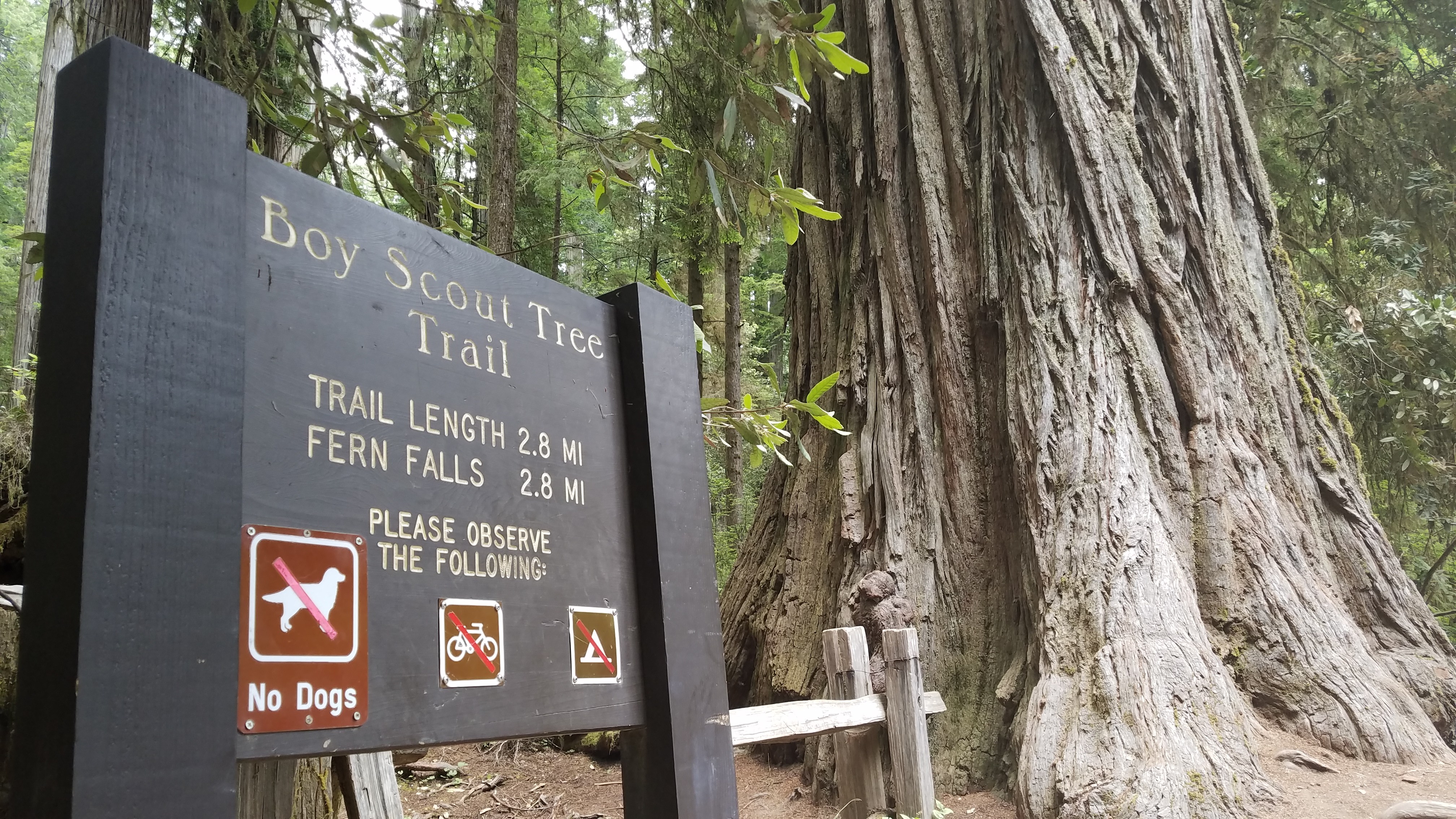
Boy Scout Tree Trailhead
~8 min drive
<strong> A Moderate Hike In The North</strong><br /> <br /> This rewarding hike though old-growth redwoods is popular for those near Crescent City wanting a bit of a challenge - both physically and logistically. Located in Jedediah Smith Redwoods State Park, visitors should co…
Little Bald Hills
~14 min drive
Challenging 10.26-mile alpine trek with 4,377 ft gain and panoramic summit views.
Paradise
~15 min drive
Easy 2.14-mile trail near Paradise with minimal elevation gain.
Oregon Redwoods - Hiking
~36 min drive
Easy loop through Oregon's majestic old-growth redwood forest.
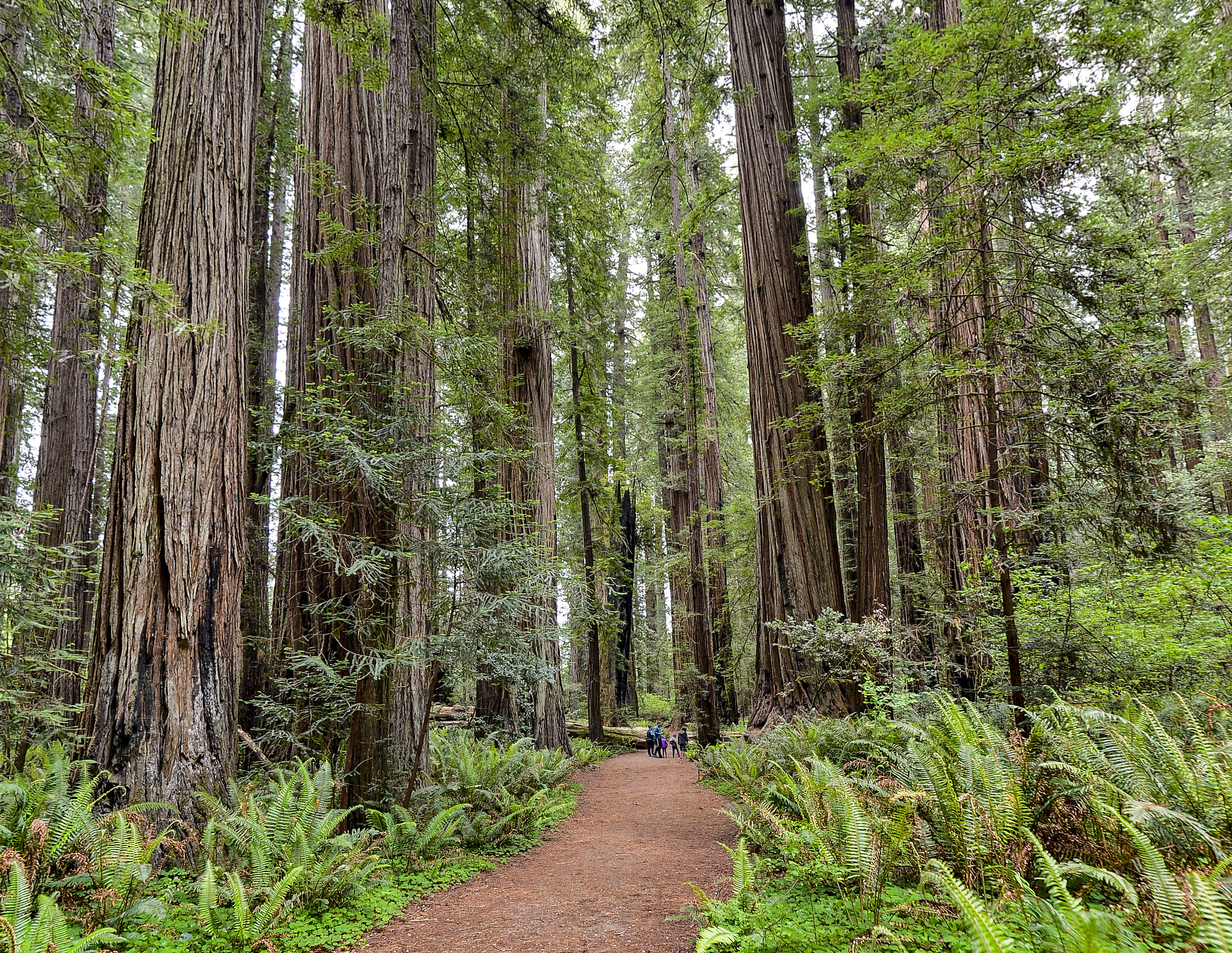
Stout Memorial Grove
~11 min drive
<strong>A Short Walk With An Adventure To Get There</strong><br /> <br /> These 300-foot trees are considered by many as the heart of Jedediah Smith Redwoods State Park. This majestic 44-acre grove of old-growth redwoods is a popular summer destination for those willing to tak…
Old South Kelsey
~21 min drive
Strenuous 15.8-mile backcountry trail with 2,396 ft elevation gain.
Local operatorsoffering guided trips. You book directly with them — Roamze doesn’t take a cut.
Turtle Rock RV Resort
Hiking business nearby (~49 mi away) — hasn't claimed their Roamze page yet