Desolation Canyon
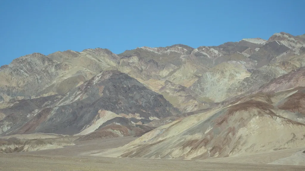 Photo: David Balmer — Wikimedia Commons (CC BY 3.0)
- 1.7 mi
- round trip
- 995 ft
- climb
- 683 ft
- high point
- Out and back
- route
- Nov–Mar
- best months
Clear at last check
Weather is good · OpenWeather · checked 18 h ago
Is Desolation Canyon open right now?
No closures listed
The National Park Service lists no closures for Death Valley National Park.
As of · Source: NPS · Death Valley National Park. Agencies don't list every closure — check before you go.
Colorful canyon walls and mud-cracked earth beckon those searching for an off-trail adventure. This spectacular canyon is less frequently explored than other areas of the park, and offers a challenging hike with incredible scenery. Upon entering the canyon, visitors find themselves immersed in the badlands; geologic formations made up of fine, silt-like sediments that covered the bottom of an enormous lake which once stretched across much of Death Valley. While hiking through these badlands, notice how easily the canyon walls crumble and erode. Badlands are greatly impacted by sudden downpours of rain, which quickly turn this canyon into a river of mud. Hikers will step over piles of dried sediment at the base of the canyon walls, and crisscross a section of deep mud-cracks, all of which were left behind from powerful flash floods and mudflows. Most of the badlands in Desolation Canyon are a rich golden color, but as hikers progress up the canyon they will see some sections of green, red and purple rocks. Millions of years ago, when this area was under water, nearby volcanic eruptions deposited layers of ash and debris in the lake, which settled among the silts and clays at the bottom. After the lake evaporated away and exposed the badlands formations, the iron minerals in these ash deposits reacted with oxygen and developed colorful tints. Some of the best times to hike through Desolation Canyon are in the late afternoon and early evening, when the low light catches these colorful rocks. HIKING NOT ADVISED AFTER 10 AM IN THE SUMMER Round Trip Length: 3.6 mile (5.8km) Round Trip Time: 2.5 hours Difficulty: Moderate/Difficult Elevation Gain: 600 ft (183m) Trail Type: Out and back route- not an official trail Location: The short unpaved Desolation Canyon Road is located 3.7 miles (6km) south of CA-190 off Badwater Road. Parking: Gravel parking area Route: Up a canyon. After about a mile, hikers will encounter two dryfalls to scramble over; use caution, especially while descending. The route ends at the top of Desolation Canyon, with a spectacular view of Death Valley below. Note: pets are not allowed on any trail in Death Valley National Park, even if carried. Do not leave your animal in your vehicle. Speak with a ranger about one of the incredible dirt roads where you may walk your pet.
 Gower Gulch TrailHikingPhoto: Greg Willis from Denver, CO, usa, CC BY-SA 2.0 (via Wikimedia Commons)1.3 mi
 Badlands LoopHikingPhoto: Greg Willis from Denver, CO, usa, CC BY-SA 2.0 (via Wikimedia Commons)1.8 mi
- Corral Horse pathHiking4.6 mi
 Funeral Canyon hiking routeHikingPhoto: Greg Schechter from San Francisco, USA, CC BY 2.0 (via Wikimedia Commons)4.8 mi
 Sunset CampgroundCampingPhoto: daveynin — CC BY 2.0 (via Flickr)4.9 mi
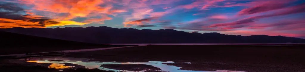 Furnace Creek CampgroundCampingPhoto: Recreation.gov (RIDB) / public domain5.2 mi
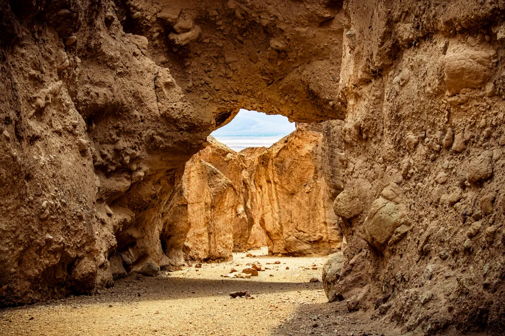 Natural BridgeHikingPhoto: NPS / public domain8.3 mi
Source: Roamze catalog (indexable pages within 10 miles, PostGIS distance)
- Gower Gulch TrailHiking · ~2 min drivePhoto: Greg Willis from Denver, CO, usa, CC BY-SA 2.0 (via Wikimedia Commons)
- Badlands LoopHiking · ~3 min drivePhoto: Greg Willis from Denver, CO, usa, CC BY-SA 2.0 (via Wikimedia Commons)
 Indian PassHiking · ~19 min drivePhoto: Ken Lund, CC BY-SA 2.0 (via Flickr)
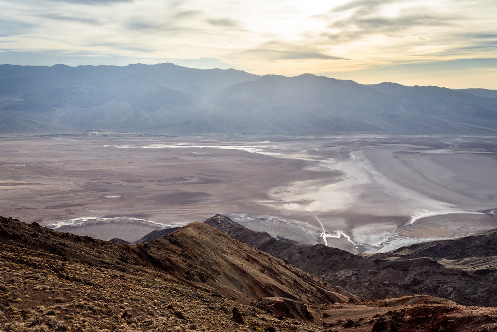 Dantes PeakHiking · ~23 min drivePhoto: dconvertini, CC BY-SA 2.0 (via Flickr)
 Upper Trail CanyonHiking · ~23 min drivePhoto: GSEC, CC BY 2.0 (via Flickr)
- Funeral Canyon hiking routeHiking · ~8 min drivePhoto: Greg Schechter from San Francisco, USA, CC BY 2.0 (via Wikimedia Commons)
- Gower Gulch TrailHiking · ~3 min drivePhoto: Greg Willis from Denver, CO, usa, CC BY-SA 2.0 (via Wikimedia Commons)
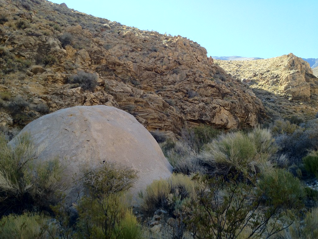 Hungry Bill's RanchHiking · ~40 min drivePhoto: stevelyon, CC BY-SA 2.0 (via Flickr)
 Wildrose PeakHiking · ~29 min drivePhoto: Greg Willis from Denver, CO, usa, CC BY-SA 2.0 (via Wikimedia Commons)
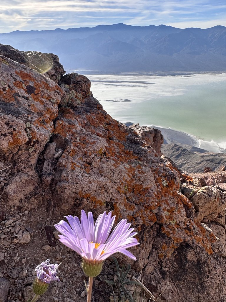 Mount PerryHiking · ~22 min drivePhoto: Seth Tisue, CC BY-SA 2.0 (via Flickr)
Best time to visit Desolation Canyon
Best months: November–March. Best months have typical highs of 55–85 °F, lows of 30 °F or warmer (32 °F where the station doesn't record snow), at most one snowy day and no more than 12 wet days.
Jan
67° / 42°
2 wet
Feb
74° / 49°
3 wet
Mar
83° / 57°
2 wet
Apr
91° / 65°
1 wet
May
101° / 75°
1 wet
Jun
111° / 84°
1 wet
Jul
117° / 91°
1 wet
Aug
116° / 89°
1 wet
Sep
108° / 79°
1 wet
Oct
93° / 64°
1 wet
Nov
77° / 51°
1 wet
Dec
66° / 41°
2 wet
Typical high / low (°F) and days with rain or snow, 1991–2020. Measured at Death Valley Np, CA, 5.1 mi away at -194 ft. The station sits about 900 ft lower than this place, so expect it a little cooler here. Source: NOAA NCEI U.S. Climate Normals 1991–2020.

