Tar Water
- 1.3 mi
- round trip
- 256 ft
- climb
- 880 ft
- high point
- Out and back
- route
- Apr–Jun, Oct
- best months
Is Tar Water open right now?
Alert in the area
The Forest Service lists an alert for Ukonom Ranger District.
Ishi Pishi River Area Use Restriction
Agency alert covering Ukonom Ranger District · Order 05-05-58-26-04 · USFS · Ukonom Ranger District
As of · Source: USFS · Ukonom Ranger District. Agencies don't list every closure — check before you go.
Tar Water is an easy, out-and-back hike of about 1.3 miles on the Forest Service land of the Ukonom Ranger District in Six Rivers National Forest in northern California. The trail starts at a low point of about 612 feet and climbs to a high of about 880 feet, a gain of roughly 256 feet. Late spring and early fall are the most comfortable times to go. Typical averages from a nearby weather station at Orleans put May highs around 77°F with lows near 48°F, and September highs around 86°F with lows near 51°F. That station sits about 477 feet lower than the high point, so temperatures on the trail run a bit cooler. The Bull Pine Mine hike is about 0.7 miles away and Halverson Creek River Access about 0.8 miles. Bald Butte lies about 1.3 miles off. For an overnight base, Oak Bottom Campground is about 6 miles away.
- Bull Pine MineHiking0.7 mi
- Halverson Creek River AccessHiking0.8 mi
- Bald ButteHiking1.3 mi
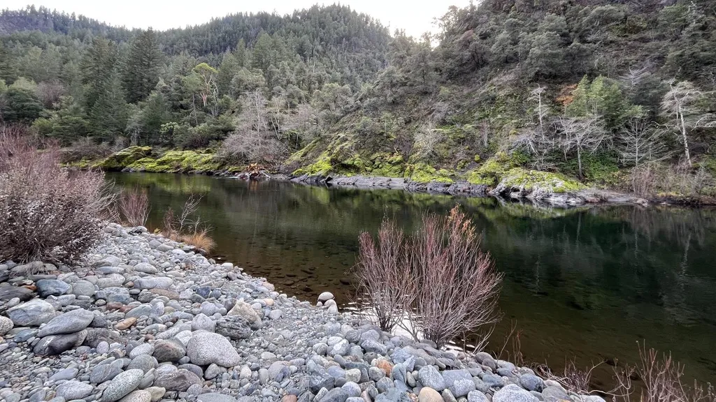 Oak Bottom CampgroundCampingPhoto: Recreation.gov (RIDB) / public domain6.2 mi
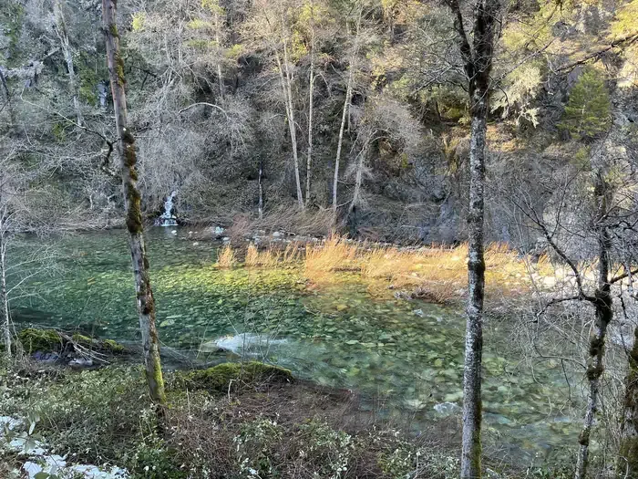 Dillon Creek CampgroundCampingPhoto: Recreation.gov (RIDB) / public domain8.2 mi
- DillonCamping8.2 mi
- Camp CreekCanoeing8.4 mi
- Ukonom CreekCanoeing9.1 mi
Source: Roamze catalog (indexable pages within 10 miles, PostGIS distance)
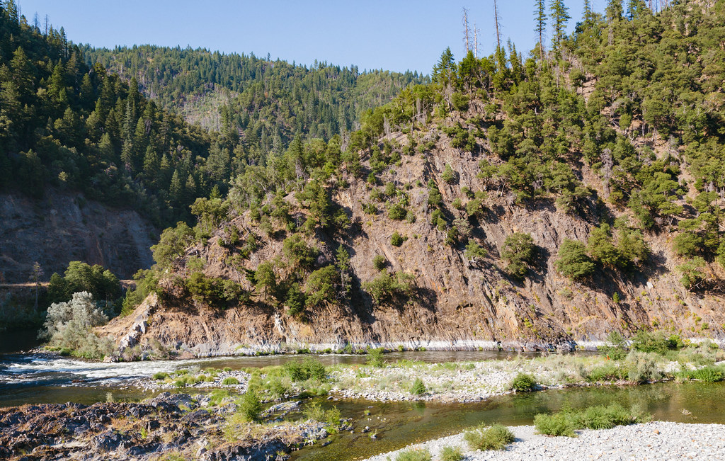 Dillon CreekHiking · ~14 min drivePhoto: Tony Webster, CC BY 2.0 (via Flickr)
- Bull Pine MineHiking · ~1 min drive
- Halverson Creek River AccessHiking · ~1 min drive
- WOOLEY CREEKHiking · ~12 min drive
- HaypressHiking · ~9 min drive
- Bald ButteHiking · ~2 min drive
- Rock CreekHiking · ~7 min drive
- Wooley Creek TrailHiking · ~13 min drive
- MccashHiking · ~10 min drive
- Stanshaw TrailHiking · ~7 min drive
Best time to visit Tar Water
Best months: April–June and October. Best months have typical highs of 55–85 °F, lows of 30 °F or warmer (32 °F where the station doesn't record snow), at most one snowy day and no more than 12 wet days.
Jan
50° / 37°
16 wet
Feb
55° / 39°
14 wet
Mar
62° / 41°
15 wet
Apr
68° / 43°
11 wet
May
77° / 48°
8 wet
Jun
83° / 52°
4 wet
Jul
92° / 57°
1 wet
Aug
91° / 56°
1 wet
Sep
86° / 51°
3 wet
Oct
71° / 46°
7 wet
Nov
56° / 42°
14 wet
Dec
48° / 37°
17 wet
Typical high / low (°F) and days with rain or snow, 1991–2020. Measured at Orleans, CA, 10.6 mi away at 403 ft. This station doesn't record snowfall. Source: NOAA NCEI U.S. Climate Normals 1991–2020.
