Rock Creek
- 0.5 mi
- round trip
- 152 ft
- climb
- 836 ft
- high point
- Out and back
- route
- Apr–Jun, Oct
- best months
Is Rock Creek open right now?
Alert in the area
The Forest Service lists an alert for Ukonom Ranger District.
Ishi Pishi River Area Use Restriction
Agency alert covering Ukonom Ranger District · Order 05-05-58-26-04 · USFS · Ukonom Ranger District
As of · Source: USFS · Ukonom Ranger District. Agencies don't list every closure — check before you go.
Rock Creek is a short, easy hike in the Ukonom Ranger District of Six Rivers National Forest in California, managed by the Forest Service. The trail is about half a mile long, with a one-way climb of about 150 feet from a low point of 665 feet to a high of 836 feet. The trail is natural-surfaced and open to both horses and bikes, so it works for riders and pack animals as well as hikers. Late spring and early fall are the most comfortable times to go. Typical averages from a nearby weather station in Orleans show May highs around 77°F and October highs around 71°F, while July and August average in the low 90s. Nearby options include the Bald Butte and Bull Pine Mine hikes, about 3 miles away, and Dillon Creek Campground, about 4 miles off. Paddlers can head to Ukonom Creek, roughly 7 miles away.
Best time to go · Apr–Jun, Oct
Best time to visit Rock Creek
Best months: April–June and October. Best months have typical highs of 55–85 °F, lows of 30 °F or warmer (32 °F where the station doesn't record snow), at most one snowy day and no more than 12 wet days.
Jan
50° / 37°
16 wet
Feb
55° / 39°
14 wet
Mar
62° / 41°
15 wet
Apr
68° / 43°
11 wet
May
77° / 48°
8 wet
Jun
83° / 52°
4 wet
Jul
92° / 57°
1 wet
Aug
91° / 56°
1 wet
Sep
86° / 51°
3 wet
Oct
71° / 46°
7 wet
Nov
56° / 42°
14 wet
Dec
48° / 37°
17 wet
Typical high / low (°F) and days with rain or snow, 1991–2020. Measured at Orleans, CA, 14.3 mi away at 403 ft. This station doesn't record snowfall. Source: NOAA NCEI U.S. Climate Normals 1991–2020.
Keep exploring — more trails worth the drive
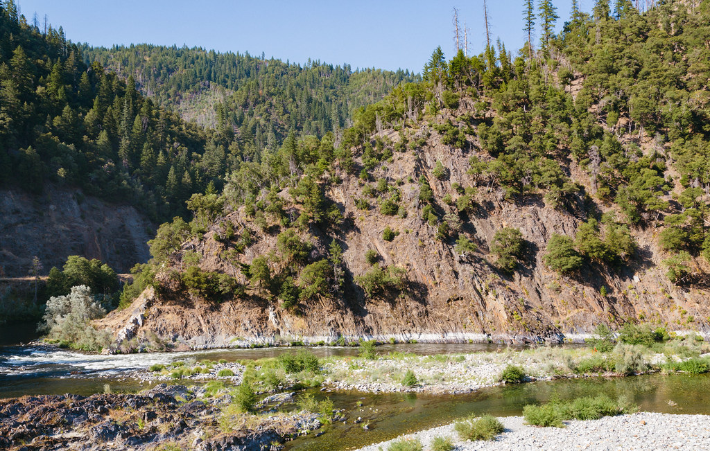 Photo: Tony Webster, CC BY 2.0 (via Flickr)
Dillon Creek
~7 min drive
12.40-mile out-and-back trail in California with 3,664 ft elevation gain.
HIKE
Stanshaw Trail
~8 min drive
7.1-mile out-and-back trail in California with 1,915 ft elevation gain.
HIKE
Halverson Creek River Access
~9 min drive
0.62-mile out-and-back trail at Halverson Creek River Access in California with 738 ft of elevation gain.
HIKE
Boundary Trail
~17 min drive
9.98-mile out-and-back hike in California with 4,183 ft elevation gain/loss
HIKE
Mccash
~12 min drive
8.40-mile out-and-back trail in California with 1,820 ft elevation gain.
HIKE
Ten Bear
~9 min drive
3.00-mile out-and-back trail in California with 298 ft gain.
HIKE
Torgerson
~13 min drive
2.96-mile out-and-back trail in California with 852 ft gain
HIKE
Wooley Creek Trail
~18 min drive
10.5-mile out-and-back hike in California with 4,515 ft elevation gain and loss.
HIKE
Haypress
~12 min drive
25.54-mile out-and-back trail in California with 3,443 ft of elevation gain.
HIKE
Let'er Buck
~13 min drive
3.15-mile out-and-back trail in California with 593 ft elevation gain.
