Lone Wolf Colony Health Ranch & RV Park
Campground
Campground · 3.6 mi from the trail
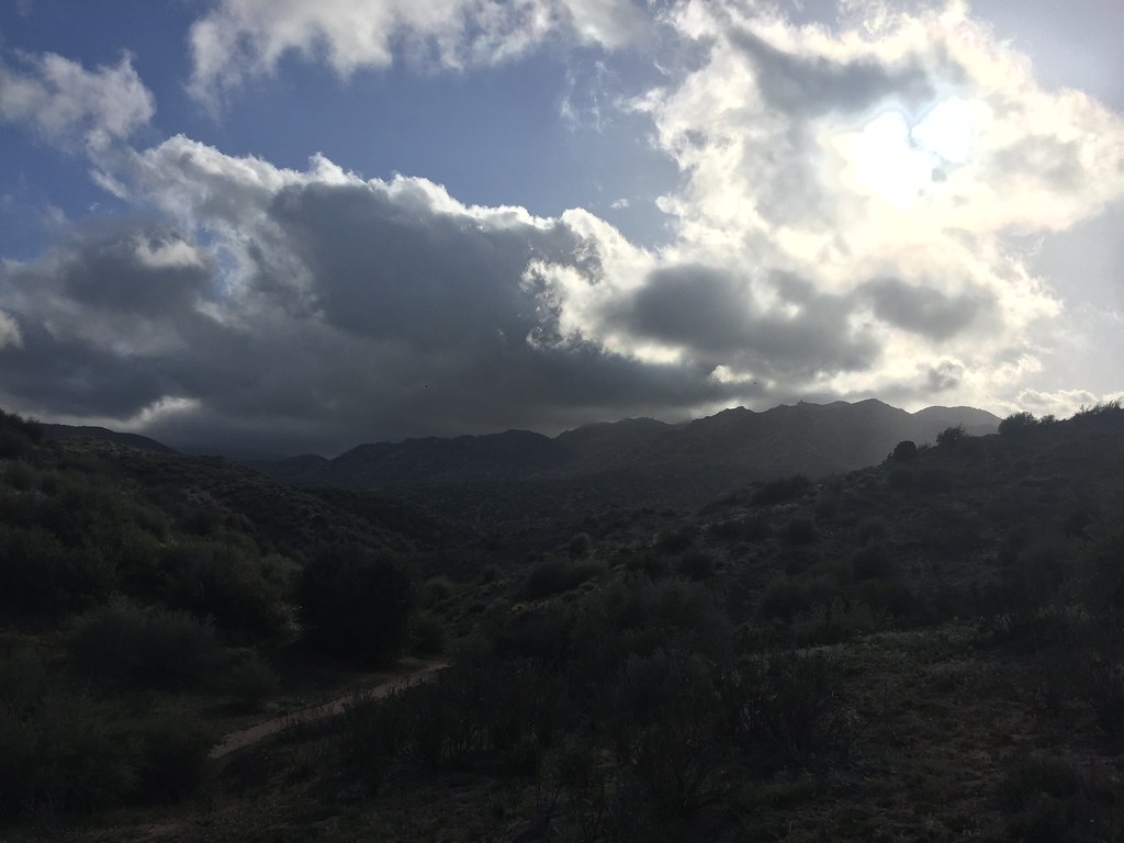
Tangelo Trail is an easy, out-and-back hike in California, about 1.6 miles from the town of Fizzben Heights. The route is short, with a total length of about 1.1 miles and a one-way elevation gain of 13 feet. The trail starts and ends at nearly the same elevation, 3298 feet, and the climb is back-loaded, meaning the steepest stretch comes near the end of the trip. The steepest part is about 0.37 miles in, with a grade of about 5 percent, so the hike is best suited for a quick stop rather than a long day on foot. Spring and fall are the most comfortable times to go. Typical averages from a nearby weather station in Hesperia show April highs around 75°F and October highs around 80°F. That station sits about 240 feet lower than the trail, so temperatures up high run a little cooler. The hike takes about half an hour. Deadman Roadside Crags and Deadman's Boulders, both climbing areas, are about 3 miles away. The Sierra Madre Trail lies roughly 3.6 miles off, and Clark's Ranch Trail Yellow Post Site offers camping about 9.6 miles from the trail.
Lone Wolf Colony Health Ranch & RV Park
Campground
Burgerlicious
Restaurant
 If it rainsBeyond My Ken, CC BY-SA 4.0 · Wikimedia Commons
Deep Creek Hot Springs
Hot spring
Natural hot springs located in San Bernardino National Forest, California, United States
Places © OpenStreetMap contributors · Photos: Beyond My Ken, CC BY-SA 4.0 (commons)
More in Lucerne Valley Big Pine Equestrian Group CampgroundCampingPhoto: Recreation.gov (RIDB) / public domain9.6 mi
Source: Roamze catalog (indexable pages within 10 miles, PostGIS distance)
 Hot Springs Goat TrailHiking · ~10 min drivePhoto: Jim Tighe RiverNude, Public Domain Mark (via Flickr)
 Bradford Ridge PathHiking · ~15 min drivePhoto: Rainhead, CC BY-SA 2.0 (via Flickr)
 MetateHiking · ~19 min drivePhoto: USFWS Pacific Southwest Region, Public Domain Mark (via Flickr)
 Coxey Truck TrailHiking · ~17 min drivePhoto: Jacob Montgomery, CC BY-SA 3.0 (via Wikimedia Commons)Hot SpringsHiking · ~11 min drivePhoto: Jim Tighe RiverNude, Public Domain Mark (via Flickr)
 Pilot Rock TrailHiking · ~22 min drivePhoto: GSEC, CC BY 2.0 (via Flickr)Coxey Truck TrailHiking · ~21 min drivePhoto: Jacob Montgomery, CC BY-SA 3.0 (via Wikimedia Commons)Metate / Rock CampHiking · ~19 min drivePhoto: USFWS Pacific Southwest Region, Public Domain Mark (via Flickr)
 ALA TrailHiking · ~21 min drivePhoto: timatymusic, CC BY 2.0 (via Flickr)
Best months: October–May. Best months have typical highs of 55–85 °F, lows of 30 °F or warmer (32 °F where the station doesn't record snow), at most one snowy day and no more than 12 wet days.
Jan
60° / 37°
Feb
62° / 39°
Mar
69° / 42°
Apr
75° / 46°
May
82° / 53°
Jun
92° / 59°
Jul
97° / 65°
Aug
97° / 65°
Sep
91° / 61°
Oct
80° / 51°
Nov
67° / 42°
Dec
59° / 35°
Typical high / low (°F) and days with rain or snow, 1991–2020. Measured at Hesperia 2e, CA, 8.6 mi away at 3,055 ft. This station doesn't record snowfall. Source: NOAA NCEI U.S. Climate Normals 1991–2020.
Map and trail data © OpenStreetMap contributors


