North Shore (ca)
Campground
Campground · 0.4 mi from the trail
 Photo: timatymusic, CC BY 2.0 (via Flickr)
Caution at last check
Agency alerts are in effect for this area; weather is good · USFS, OpenWeather · checked 22 h ago
Closure in the area
There's a closure order in Mountaintop Ranger District. It doesn't name ALA Trail, so check the source for the area it covers.
Radford Fire Closure Area
Agency closure covering Mountaintop Ranger District · Order 05-12-52-24-06 · USFS · Mountaintop Ranger District
Safety Alert - Falling Rocks at Bonita Falls
Agency alert covering San Bernardino National Forest · USFS · San Bernardino National Forest
Fire Restrictions
Agency alert covering San Bernardino National Forest · Order 05-12-00-26-05 · USFS · San Bernardino National Forest
As of · Source: USFS · Mountaintop Ranger District. Agencies don't list every closure — check before you go.
The ALA Trail is a 4-mile out-and-back hike in the Mountaintop Ranger District of San Bernardino National Forest in California. The trail rises steadily from a starting point of about 5,170 feet to a high point of 5,224 feet, with a total elevation gain of 1,864 feet over the round trip. The climb is moderate, and the steepest stretch comes early, around 0.3 miles in, with a grade of about 13%. The most comfortable months for a visit are late spring and early fall. Typical averages from the Lake Arrowhead weather station, about 1.5 miles away, show May highs near 67°F and September highs near 74°F, with only a day or two of rain each month. Winter brings highs in the low 40s and a few snow days. The trail makes an easy pairing with other outings in the area. North Shore campground is about 0.4 miles away, and Lake Arrowhead - Green Valley Lake Recreation Area is about 0.7 miles off. Sewer Pond Trail and Heaps Peak Arboretum are both within about 2 miles.
North Shore (ca)
Campground
 If it rainsBeyond My Ken, CC BY-SA 4.0 · Wikimedia Commons
Deep Creek Hot Springs
Hot spring
Natural hot springs located in San Bernardino National Forest, California, United States
Places © OpenStreetMap contributors, Places © Overture Maps Foundation · Photos: Beyond My Ken, CC BY-SA 4.0 (commons)
More in Lucerne Valley Heaps Peak ArboretumHikingPhoto: JingKe888, CC BY 2.0 (via Flickr)1.8 mi
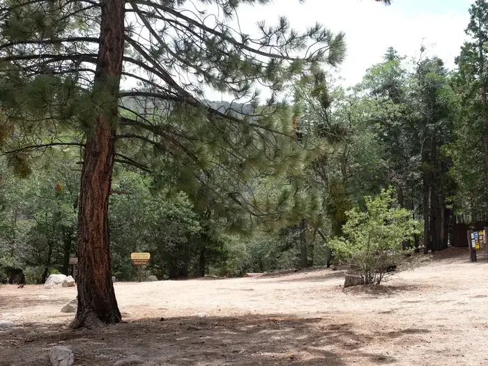 Fishermans GroupCampingPhoto: Recreation.gov (RIDB) / public domain3.4 mi
Source: Roamze catalog (indexable pages within 10 miles, PostGIS distance)
Heaps Peak ArboretumHiking · ~3 min drivePhoto: JingKe888, CC BY 2.0 (via Flickr) MetateHiking · ~6 min drivePhoto: USFWS Pacific Southwest Region, Public Domain Mark (via Flickr)
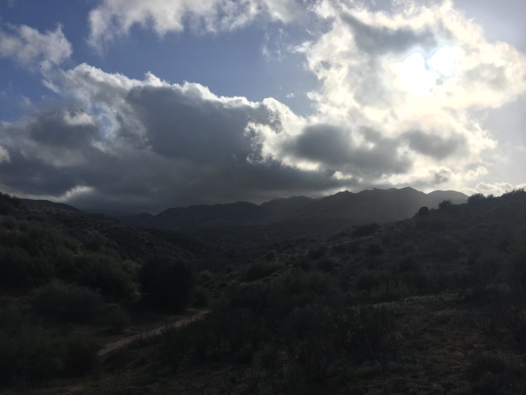 Bradford Ridge PathHiking · ~7 min drivePhoto: Rainhead, CC BY-SA 2.0 (via Flickr)Metate / Rock CampHiking · ~6 min drivePhoto: USFWS Pacific Southwest Region, Public Domain Mark (via Flickr)
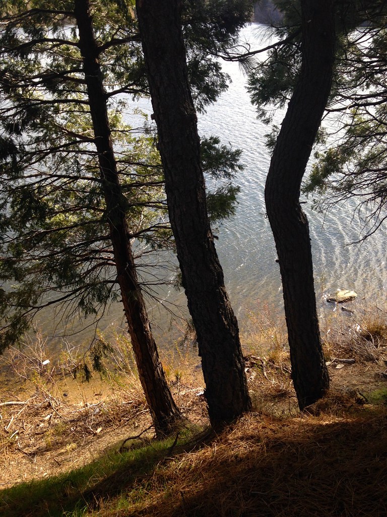 Lake Gregory TrailHiking · ~10 min drivePhoto: bdearth, CC BY 2.0 (via Flickr)
 Pilot Rock TrailHiking · ~9 min drivePhoto: GSEC, CC BY 2.0 (via Flickr)
 Hot SpringsHiking · ~11 min drivePhoto: Jim Tighe RiverNude, Public Domain Mark (via Flickr)
 AqueductHiking · ~11 min drivePhoto: InSapphoWeTrust from Los Angeles, California, USA, CC BY-SA 2.0 (via Wikimedia Commons)
Also worth it near here
Best months: April–October. Best months have typical highs of 55–85 °F, lows of 30 °F or warmer (32 °F where the station doesn't record snow), at most one snowy day and no more than 12 wet days.
Jan
44° / 29°
6 wet · 1 snow
Feb
45° / 30°
6 wet · 1 snow
Mar
52° / 32°
6 wet · 1 snow
Apr
60° / 36°
4 wet · 1 snow
May
67° / 41°
2 wet
Jun
76° / 49°
1 wet
Jul
81° / 57°
1 wet
Aug
82° / 57°
1 wet
Sep
74° / 52°
1 wet
Oct
63° / 43°
2 wet
Nov
52° / 34°
3 wet
Dec
43° / 29°
5 wet · 1 snow
Typical high / low (°F) and days with rain or snow, 1991–2020. Measured at Lake Arrowhead, CA, 1.5 mi away at 5,205 ft. Source: NOAA NCEI U.S. Climate Normals 1991–2020.
Map and trail data © OpenStreetMap contributors
