Loading…

Free — you'll pick up right here.
Watch this trail
Sign up to watch it — saving subscribes you to gate, closure and report changes.
California
2.7 mi
Distance
352 ft
Gain
We won't guess. Here is exactly what we do and don't know.
What we do know
Inside San Bernardino National Forest
2 managing-area boundaries mapped — agency alerts for them feed this page automatically.
Boundary data
What's missing
No access route mapped
We don't yet know which road reaches this trailhead, so we can't tell you if it's gated.
Nobody's filed a report here yet — be the first.
Why you'll love it
Hot Springs
AI-suggested draft · review before you go
No permit or access details on file for this trail — check with the local land manager before you go.
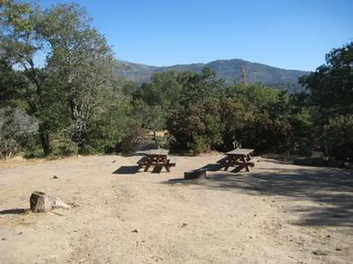
Hot Springs is a scenic 2.69-mile trail featuring natural thermal features and geothermal activity characteristic of California's volcanic regions. This easy out-and-back hike offers hikers the opportunity to experience warm mineral springs in a relatively compact distance, making it accessible for families and casual walkers. The gentle elevation gain of 352 feet provides a leisurely pace with rewarding natural hot water features.
Devils Hole
~6 min drive
Moderate 5.4-mile hike with 531 ft elevation gain near Devils Hole.
Hawes Ranch
~11 min drive
Moderate 9.7-mile ranch loop with 1,012 ft elevation gain.
Dogwood
~15 min drive
Easy 2.4-mile foothills loop with 506 ft elevation gain.
Sewer Pond Trail
~9 min drive
Moderate 5.65-mile woodland loop with pond views and gentle elevation gain.
Muddy Springs
~11 min drive
Moderate 6.4-mile hike with 896 ft gain near Muddy Springs, California.
Heart Rock
~18 min drive
Easy 1.1-mile trail to Heart Rock with minimal elevation gain.
Holcomb Crossing
~13 min drive
Easy 3.2-mile trail with moderate elevation gain near Holcomb Crossing.
Pilot Rock Trail
~12 min drive
Moderate 8.34-mile hike to Pilot Rock with 506 ft elevation gain and scenic views.
Little Green Valley
~20 min drive
Easy 2.66-mile valley loop with gentle elevation gain and scenic meadow views.
Fisherman's
~13 min drive
Accessible 4.58-mile trail with steady elevation gain and scenic views.