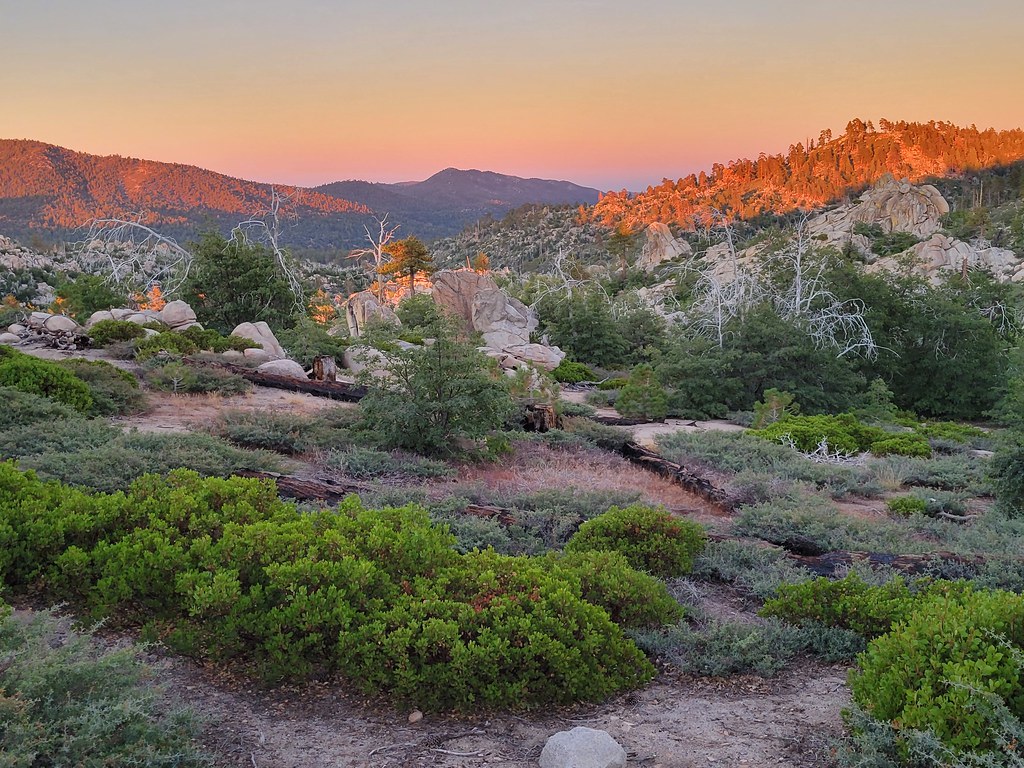
Hanna Flat
Campground
Campground · 0.3 mi from the trail
 Photo: Jacob Montgomery, CC BY-SA 3.0 (via Wikimedia Commons)
Closure in the area
There's a closure order in Mountaintop Ranger District. It doesn't name Coxey Truck Trail, so check the source for the area it covers.
Radford Fire Closure Area
Agency closure covering Mountaintop Ranger District · Order 05-12-52-24-06 · USFS · Mountaintop Ranger District
Safety Alert - Falling Rocks at Bonita Falls
Agency alert covering San Bernardino National Forest · USFS · San Bernardino National Forest
Fire Restrictions
Agency alert covering San Bernardino National Forest · Order 05-12-00-26-05 · USFS · San Bernardino National Forest
As of · Source: USFS · Mountaintop Ranger District. Agencies don't list every closure — check before you go.
Coxey Truck Trail is a 3-mile out-and-back hike in the Mountaintop Ranger District of San Bernardino National Forest, managed by the Forest Service. The trail starts at about 7,064 feet and climbs to a high point of 7,064 feet, with a total gain of 1,323 feet over the course. The route is back-loaded, with the steepest stretch at about 1.1 miles in, where the grade reaches 17 percent. The trail is rated moderate. The most comfortable months for a visit are late spring through early fall. Typical averages from the nearby Big Bear Lake weather station show June highs around 75°F and September highs around 73°F, with July and August near 80°F. Winter is cold, with January and February highs around 46°F and lows near 24°F. The trip takes about 1.5 hours. Hanna Flat campground sits just 0.3 miles away, and the Fawnskin Area climbing area is 0.7 miles off. Grays Peak Group Camp and the 2N81 mountain biking route are both about 1.2 miles from the trail.
Hanna Flat
Campground
 If it rainsBeyond My Ken, CC BY-SA 4.0 · Wikimedia Commons
Deep Creek Hot Springs
Hot spring
Natural hot springs located in San Bernardino National Forest, California, United States
Places © OpenStreetMap contributors · Photos: Beyond My Ken, CC BY-SA 4.0 (commons)
More in Lucerne ValleySource: Roamze catalog (indexable pages within 10 miles, PostGIS distance)
 Grays PeakHiking · ~3 min drivePhoto: stevelyon, CC BY-SA 2.0 (via Flickr)Gray's Peak TrailHiking · ~4 min drivePhoto: stevelyon, CC BY-SA 2.0 (via Flickr)Coxey Truck TrailHiking · ~5 min drivePhoto: Jacob Montgomery, CC BY-SA 3.0 (via Wikimedia Commons)
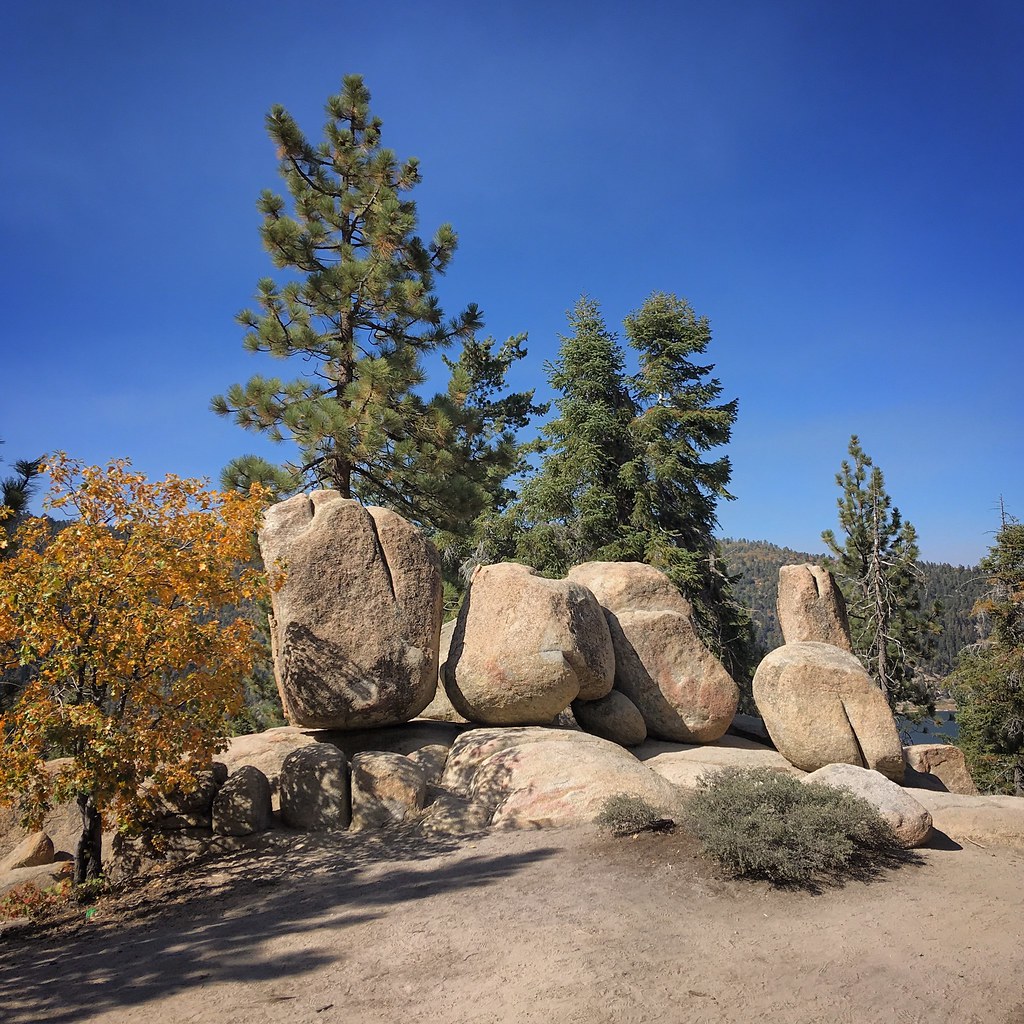 Castle RockHiking · ~7 min drivePhoto: sergei.gussev, CC BY 2.0 (via Flickr)
 Siberia CreekHiking · ~8 min drivePhoto: evan.mcclain, CC BY 2.0 (via Flickr)
 Cougar CrestHiking · ~7 min drivePhoto: pproenxa, CC BY 2.0 (via Flickr)ALPINE PEDAL PATH SPURHiking · ~7 min drivePhoto: pproenxa, CC BY 2.0 (via Flickr)
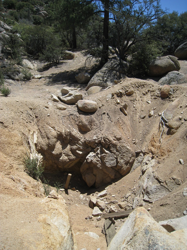 John Bull Trail 3N10Hiking · ~9 min drivePhoto: GSEC, CC BY 2.0 (via Flickr)
 Cedar Lake ConnectorHiking · ~8 min drivePhoto: sergei.gussev, CC BY 2.0 (via Flickr)
Best months: May–October. Best months have typical highs of 55–85 °F, lows of 30 °F or warmer (32 °F where the station doesn't record snow), at most one snowy day and no more than 12 wet days.
Jan
46° / 24°
6 wet
Feb
46° / 24°
6 wet
Mar
51° / 27°
6 wet
Apr
57° / 31°
4 wet
May
66° / 37°
2 wet
Jun
75° / 43°
1 wet
Jul
80° / 50°
2 wet
Aug
79° / 49°
3 wet
Sep
73° / 44°
2 wet
Oct
63° / 35°
2 wet
Nov
53° / 28°
3 wet
Dec
46° / 24°
6 wet
Typical high / low (°F) and days with rain or snow, 1991–2020. Measured at Big Bear Lake, CA, 4.8 mi away at 6,753 ft. This station doesn't record snowfall. Source: NOAA NCEI U.S. Climate Normals 1991–2020.
Map and trail data © OpenStreetMap contributors