Tamarack Loop
- 13.5 mi
- round trip
- 2,243 ft
- climb
- 6,499 ft
- high point
- Out and back
- route
Is TAMARACK LOOP open right now?
Alert in the area
The Forest Service lists 2 alerts for Klamath National Forest.
Temporarily closure of approximately 3.5 miles of National Forest System Roads 47N01
Agency alert covering Klamath National Forest · Order 05-05-00-26-08 · USFS · Klamath National Forest
Grayback Road Repairs
Agency alert covering Klamath National Forest · USFS · Klamath National Forest
As of · Source: USFS · Klamath National Forest. Agencies don't list every closure — check before you go.
Tamarack Loop is a hard hike in California's Klamath National Forest, within the Goosenest Ranger District. The route is an out-and-back that starts and ends at about 5,205 feet, climbs to a high point of 6,499 feet, and totals about 27 miles with a round-trip elevation gain of 2,243 feet. The steepest stretch comes at about 7.9 miles in, where the grade reaches 10 percent. The trip takes about 10 hours, so plan on a full day. The Forest Service manages the land, and the route is a long, steep outing rather than a short outing. Tamarack Lake is about 4.7 miles away. Little Mt. Hoffman Lookout and Schonchin Springs, both campgrounds, are within about 9 miles. The Little Mount Hoffman Trail is also about 9 miles off.
Local outfitters
- Crater Lake Zipline and Kayak Tours41 mi away
- Yamsi Fly Fishing41 mi away
Not on Roamze yet. Their page has how to reach them.
- TAMARACK LAKEHiking4.7 mi
- Little Mt. Hoffman LookoutCamping7.1 mi
- Schonchin SpringsCamping8.9 mi
 Little Mount Hoffman TrailHikingPhoto: ex_magician, CC BY 2.0 (via Flickr)9 mi
- Crystal Springs TrailHikingPhoto: ex_magician, CC BY 2.0 (via Flickr)9 mi
- Little Medicine LoopHikingPhoto: ex_magician, CC BY 2.0 (via Flickr)9.1 mi
- Little Medicine Lake TrailHikingPhoto: ex_magician, CC BY 2.0 (via Flickr)9.2 mi
- Medicine Lakeshore TrailHikingPhoto: ex_magician, CC BY 2.0 (via Flickr)9.9 mi
Source: Roamze catalog (indexable pages within 10 miles, PostGIS distance)
- Little Mount Hoffman TrailHiking · ~15 min drivePhoto: ex_magician, CC BY 2.0 (via Flickr)
- Little Medicine Lake TrailHiking · ~16 min drivePhoto: ex_magician, CC BY 2.0 (via Flickr)
- Heppe Cave Trail Start, Tulelake, CAHiking · ~23 min drive
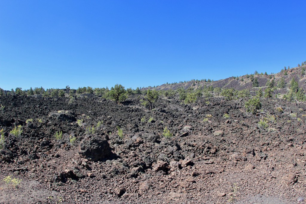 Gold Digger Pass TrailHiking · ~26 min drivePhoto: daveynin, CC BY 2.0 (via Flickr)
- UPPER ANTELOPE CREEKHiking · ~18 min drive
- HORSE PEAKHiking · ~24 min drive
- Medicine Lakeshore TrailHiking · ~17 min drivePhoto: ex_magician, CC BY 2.0 (via Flickr)
- Whitney Butte Trail Start, Tulelake, CaHiking · ~24 min drive
- Whitney Butte TrailHiking · ~22 min drive
- DEER MTN LONG LOOPHiking · ~32 min drive

