Little Mount Hoffman Trail
 Photo: ex_magician, CC BY 2.0 (via Flickr)
- 6.1 mi
- round trip
- 483 ft
- climb
- 7,103 ft
- high point
- Out and back
- route
Is Little Mount Hoffman Trail open right now?
Alert in the area
The Forest Service lists an alert for Modoc National Forest.
Forest Fire Restrictions 2026 have been lifted as of 09/27/2026
Agency alert covering Modoc National Forest · Order 09-26-01 · USFS · Modoc National Forest
As of · Source: USFS · Modoc National Forest. Agencies don't list every closure — check before you go.
Little Mount Hoffman Trail is a 6.1-mile out-and-back hike in California's Modoc National Forest, within the Doublehead Ranger District. The route gains about 483 feet, from a low of 6,726 feet to a high of 7,103 feet, and is rated hard. The trail is on natural surface, and bikes are allowed. It is open year-round. Several other hikes and camps sit close by. Crystal Springs Trail is about 0.2 miles away and Little Medicine Loop about 0.4 miles. Little Medicine Lake Trail is about 0.6 miles off, and Schonchin Springs campground is about 0.7 miles away.
Local outfitters
- Crater Lake Zipline and Kayak Tours45 mi away
- Yamsi Fly Fishing45 mi away
Not on Roamze yet. Their page has how to reach them.
- Crystal Springs TrailHikingPhoto: ex_magician, CC BY 2.0 (via Flickr)0.2 mi
- Little Medicine LoopHikingPhoto: ex_magician, CC BY 2.0 (via Flickr)0.4 mi
- Little Medicine Lake TrailHikingPhoto: ex_magician, CC BY 2.0 (via Flickr)0.6 mi
- Schonchin SpringsCamping0.7 mi
- Medicine Lakeshore TrailHikingPhoto: ex_magician, CC BY 2.0 (via Flickr)1.1 mi
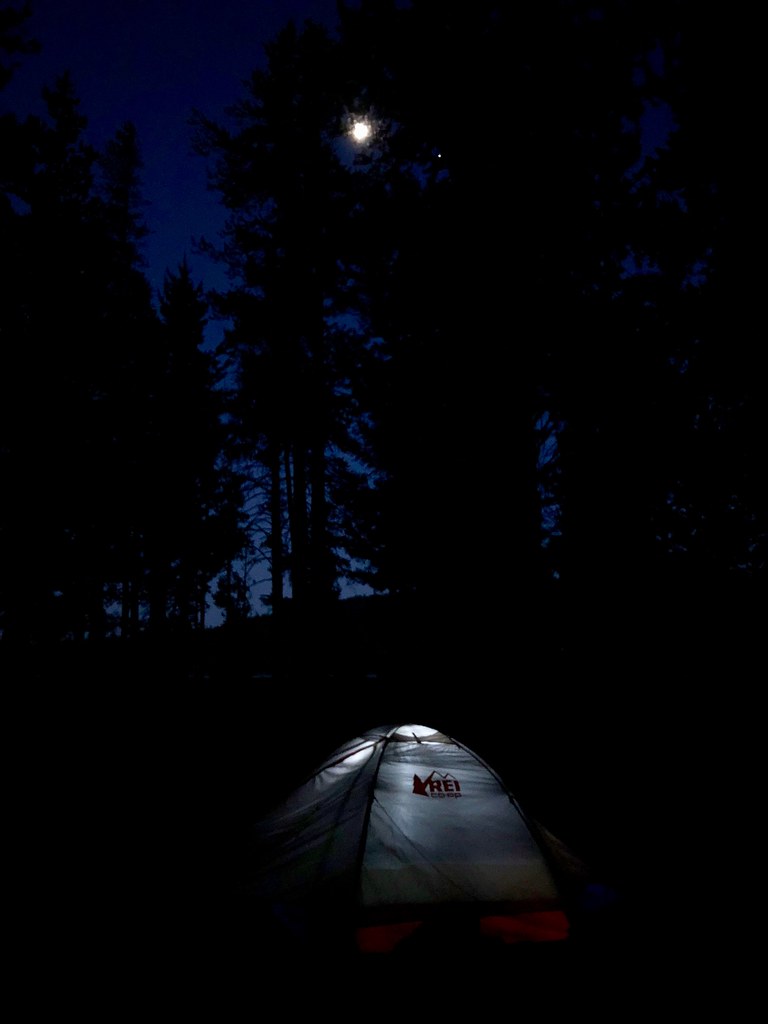 Medicine Lake Glass Flow TrailHikingPhoto: daveynin, CC BY 2.0 (via Flickr)1.3 mi
- Little Mt. Hoffman LookoutCamping2.2 mi
- Paynes SpringsCamping3.5 mi
Source: Roamze catalog (indexable pages within 10 miles, PostGIS distance)
- Little Medicine Lake TrailHiking · Next doorPhoto: ex_magician, CC BY 2.0 (via Flickr)
- Whitney Butte Trail Start, Tulelake, CaHiking · ~18 min drive
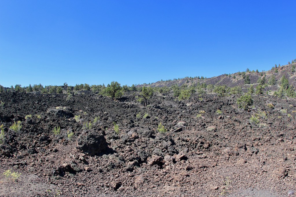 Gold Digger Pass TrailHiking · ~24 min drivePhoto: daveynin, CC BY 2.0 (via Flickr)
- Lyons TrailHiking · ~26 min drive
- UPPER ANTELOPE CREEKHiking · ~26 min drive
- Big Nasty Trail Start, Tulelake, CaHiking · ~15 min drive
- Schonchin Butte Trail Start, Tulelake, CaHiking · ~20 min drive
- Whitney Butte TrailHiking · ~19 min drive
- HORSE PEAKHiking · ~29 min drive
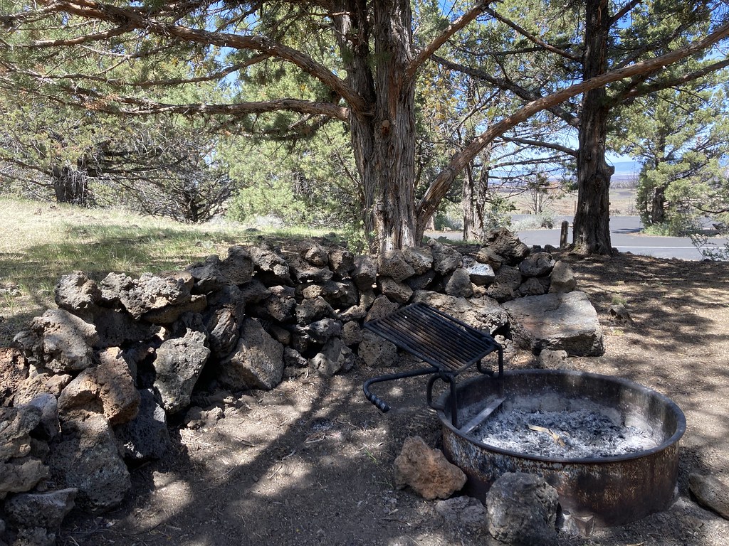 Indian Well CampgroundHiking · ~19 min drivePhoto: bgwashburn, CC BY 2.0 (via Flickr)

