Boca Springs
Campground
Campground · 3.3 mi from the trail
 Photo: On^ste82, CC BY 3.0 (via Wikimedia Commons)
Tahoe-Pyramid Trail is a short, easy out-and-back hike in California, about 0.3 miles from the town of Mystic. The trail is roughly 2.4 miles long, with a total climb of about 959 feet, and the one-way gain is about 511 feet. The route is steady, with the steepest stretch around the 0.75-mile mark, where the grade reaches about 6%. For comfortable weather, aim for late spring or early fall. Typical averages from a nearby weather station at Verdi put May highs around 65°F and September highs around 77°F, while July and August average in the mid-80s. Climbers will find River Rock about 0.9 miles away and Main Wall about 1.1 miles away. For an overnight stay, Boca Springs campground is about 3.3 miles off. Fishermans Trail, across the Nevada line, is about 4.9 miles away.
Boca Springs
Campground
Glenshire Pizza Company
Restaurant
Museum of Truckee History
Museum
Places © OpenStreetMap contributors
More in Sunnyside-Tahoe CityNot on Roamze yet. Their page has how to reach them.
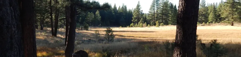 Boca SpringCampingPhoto: Recreation.gov (RIDB) / public domain3.6 mi
 Fishermans TrailHikingPhoto: fred.garz, CC BY-SA 2.0 (via Flickr)4.9 mi
 Crystal Peak Park Interpretive TrailHikingPhoto: Ken Lund from Reno, Nevada, USA, CC BY-SA 2.0 (via Wikimedia Commons)5.2 mi
Source: Roamze catalog (indexable pages within 10 miles, PostGIS distance)
Tahoe-Pyramid TrailHiking · ~2 min drivePhoto: On^ste82, CC BY 3.0 (via Wikimedia Commons) Belli Front TrailHiking · ~11 min drivePhoto: theforestprimeval, CC BY-SA 2.0 (via Flickr)
 Rim to RenoHiking · ~11 min drivePhoto: Ken Lund from Reno, Nevada, USA, CC BY-SA 2.0 (via Wikimedia Commons)
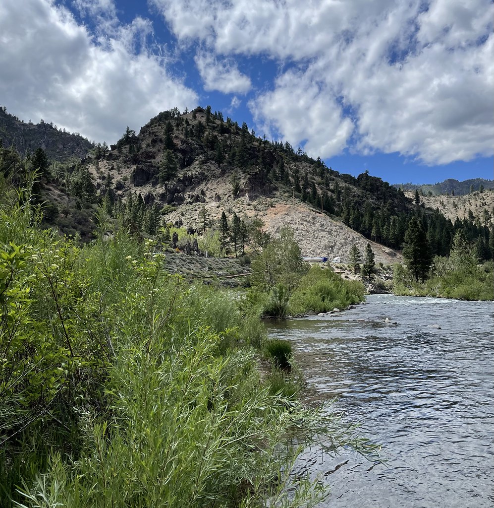 Tahoe-Pyramid TrailHiking · ~3 min drivePhoto: Seth Tisue, CC BY-SA 2.0 (via Flickr)
 LLOYD'S TRAILHiking · ~13 min drivePhoto: Michael Gordon, CC BY 3.0 (via Wikimedia Commons)
 Hunter CreekHiking · ~13 min drivePhoto: Ken Lund, CC BY-SA 2.0 (via Flickr)Fishermans TrailHiking · ~8 min drivePhoto: fred.garz, CC BY-SA 2.0 (via Flickr)
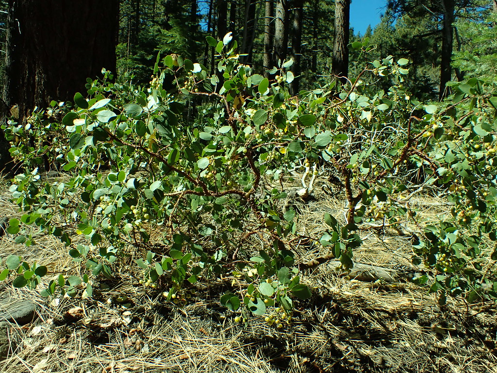 Dry PondHiking · ~15 min drivePhoto: Matt Lavin, CC BY-SA 2.0 (via Flickr)
 Hawk Meadow TrailHiking · ~13 min drivePhoto: jamesonf, CC BY 2.0 (via Flickr)Crystal Peak Park Interpretive TrailHiking · ~9 min drivePhoto: Ken Lund from Reno, Nevada, USA, CC BY-SA 2.0 (via Wikimedia Commons)
Best months: April–October. Best months have typical highs of 55–85 °F, lows of 30 °F or warmer (32 °F where the station doesn't record snow), at most one snowy day and no more than 12 wet days.
Jan
42° / 24°
Feb
45° / 26°
Mar
51° / 30°
Apr
56° / 33°
May
65° / 40°
Jun
75° / 47°
Jul
85° / 53°
Aug
84° / 52°
Sep
77° / 47°
Oct
64° / 38°
Nov
52° / 30°
Dec
42° / 23°
Typical high / low (°F) and days with rain or snow, 1991–2020. Measured at Verdi 2w, CA, 5.6 mi away at 5,429 ft. This station doesn't record snowfall. Source: NOAA NCEI U.S. Climate Normals 1991–2020.
Map and trail data © OpenStreetMap contributors
