South Fork Lakes
- 6.0 mi
- round trip
- 1,717 ft
- climb
- 6,902 ft
- high point
- Out and back
- route
Is South Fork Lakes open right now?
Alert in the area
The Forest Service lists 2 alerts for Klamath National Forest.
Temporarily closure of approximately 3.5 miles of National Forest System Roads 47N01
Agency alert covering Klamath National Forest · Order 05-05-00-26-08 · USFS · Klamath National Forest
Grayback Road Repairs
Agency alert covering Klamath National Forest · USFS · Klamath National Forest
As of · Source: USFS · Klamath National Forest. Agencies don't list every closure — check before you go.
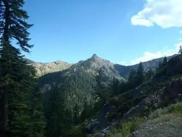
South Fork Lakes is a 6-mile out-and-back hike on the Scott River Ranger District of Klamath National Forest in California, managed by the Forest Service. The route climbs from a low point of about 5,176 feet to a high of 6,902 feet, with a total elevation gain of 1,717 feet. The trail is rated hard. It is a natural-surface route, and it is a long, steep day for anyone planning to make the full climb to the lakes. Several other trails start close by. South Fork Ridge (Noland Gl.) is about 0.4 miles away and Hidden Lake about 0.7 miles. The Pacific Crest National Scenic Trail also passes within roughly 0.7 miles. Carter Meadows Horse Group campground sits about 1.3 miles off.
- South Fork Ridge (Noland Gl.)Hiking0.4 mi
- Hidden LakeHiking0.7 mi
- Pacific Crest National Scenic TrailHiking0.7 mi
 Carter Meadows Horse GroupCampingPhoto: Recreation.gov (RIDB) / public domain1.3 mi
- Trail CreekCamping4.4 mi
- East Fork South Fork Salmon RiverCanoeing7.2 mi
- Coffee CreekCanoeing8.1 mi
- Taylor CreekCanoeing8.8 mi
Source: Roamze catalog (indexable pages within 10 miles, PostGIS distance)
- South Fork Ridge (Noland Gl.)Hiking · Next door
- Hidden LakeHiking · ~1 min drive
- Pacific Crest National Scenic TrailHiking · ~1 min drive
- Carter Meadows InteriorHiking · ~2 min drive
- Pacific Crest National Scenic Trail #2000Hiking · ~3 min drive
- Slide CreekHiking · ~4 min drive
- North Fork Coffee Creek TrailHiking · ~6 min drive
- Long GulchHiking · ~4 min drive
- Trail Gulch Lake TrailHiking · ~4 min drive
- Trail Gulch TieHiking · ~5 min drive
Also worth it near here
- Carter Meadows Horse GroupCamping · ~2 min drive
 Russian PeakSummit · ~9 min drivePhoto: Mkauffmann, CC BY 3.0 (via Wikimedia Commons)
- Big Marshy LakeLake fishing · ~11 min drive
 Little Duck LakeMountain biking · ~11 min drivePhoto: sheriff_woody_pct, CC BY 4.0 (via Wikimedia Commons)
- East Fork South Fork Salmon RiverCanoeing · ~12 min drive
