Santa Barbara Sunrise RV Park
Campground
Campground · 5.6 mi from the trail
SM Foothills Preserve Trail is a short, easy out-and-back hike in California, about 1.5 miles from the community of El Sueno. The trail is roughly 0.68 miles long, with a total elevation gain of 159 feet, and it reaches a high point of 418 feet. The climb is gentle, with the steepest stretch at about 0.28 miles in, where the grade reaches 10 percent. The most comfortable months for a visit are typically late spring and early fall. Typical averages from a nearby weather station in Santa Barbara show May highs around 72°F and September highs around 78°F, with only a day or two of rain in each of those months. That station sits about 400 feet lower than the trail, so temperatures on the preserve run a little cooler. The hike takes about half an hour to complete. Santa Barbara Bouldering is about a mile away, and the San Antonio Creek Trail Connector and Stevens Park Trail are both within about a mile and a half. For an overnight stay, Los Prietos campground is about 6.4 miles off.
Santa Barbara Sunrise RV Park
Campground
 If it rainsJllm06, CC BY-SA 3.0 · Wikimedia Commons
Natural history museum in Santa Barbara, California
Places © OpenStreetMap contributors · Photos: Jllm06, CC BY-SA 3.0 (commons)
More in Carpinteria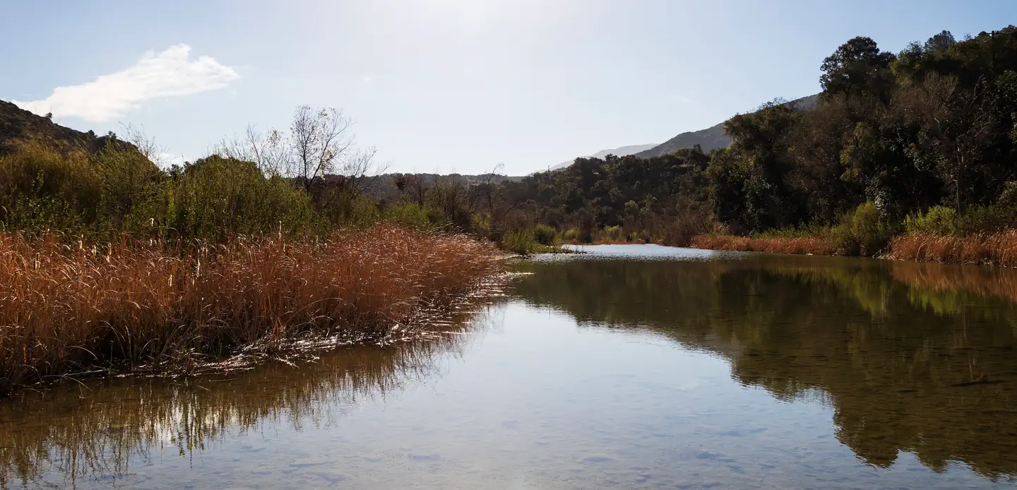 Sage HillSaltwater fishing5.8 mi
 Los PrietosCampingPhoto: Recreation.gov (RIDB) / public domain6.4 mi
Source: Roamze catalog (indexable pages within 10 miles, PostGIS distance)
 TunnelHiking · ~4 min drivePhoto: brewbooks, CC BY-SA 2.0 (via Flickr)
 3 pools TrailHiking · ~5 min drivePhoto: bdearth, CC BY 2.0 (via Flickr)Rock Garden TrailHiking · ~6 min drivePhoto: bdearth, CC BY 2.0 (via Flickr)Cathedral Peak TrailHiking · ~5 min drivePhoto: bdearth, CC BY 2.0 (via Flickr)Tunnel ConnectorHiking · ~6 min drivePhoto: bdearth, CC BY 2.0 (via Flickr)
 RattlesnakeHiking · ~6 min drivePhoto: bdearth, CC BY 2.0 (via Flickr)
 Matias PotreroHiking · ~8 min drivePhoto: Region 5 Photography, Public domain (via Wikimedia Commons)
 Switch back TrailHiking · ~6 min drivePhoto: Damian Gadal, CC BY 2.0 (via Wikimedia Commons)
 Root Cellar TrailHiking · ~9 min drivePhoto: breic, CC BY 2.0 (via Flickr)North Fork Cold Spring TrailHiking · ~10 min drivePhoto: breic, CC BY 2.0 (via Flickr)
Best months: Year-round. Best months have typical highs of 55–85 °F, lows of 30 °F or warmer (32 °F where the station doesn't record snow), at most one snowy day and no more than 12 wet days.
Jan
67° / 47°
7 wet
Feb
67° / 47°
7 wet
Mar
68° / 49°
7 wet
Apr
71° / 51°
3 wet
May
72° / 54°
2 wet
Jun
73° / 57°
1 wet
Jul
76° / 60°
0 wet
Aug
78° / 60°
0 wet
Sep
78° / 60°
1 wet
Oct
76° / 56°
2 wet
Nov
71° / 50°
3 wet
Dec
66° / 46°
6 wet
Typical high / low (°F) and days with rain or snow, 1991–2020. Measured at Santa Barbara, CA, 5 mi away at 16 ft. Source: NOAA NCEI U.S. Climate Normals 1991–2020.
Map and trail data © OpenStreetMap contributors

