Loading…

Free — you'll pick up right here.
Watch this trail
Sign up to watch it — saving subscribes you to gate, closure and report changes.
California
9.4 mi
Distance
1,427 ft
Gain
Agency alerts are in effect for this area; weather is good
2 factors · 2 sources
Newest 21 h ago · oldest 28 d
caution: Agency alerts
6 active alerts in Los Padres National Forest; most severe: Road Use Restriction - Sycamore Cyn Rd to Pfeiffer Beach
USFS28 d ago
clear: Weather
Clouds, high 67°F / low 58°F, 0% precip — 98/100 for hike
OpenWeather21 h ago
Been out here in the last few days? One report keeps this current for everyone.
Why you'll love it
Matias Potrero
AI-suggested draft · review before you go
No permit or access details on file for this trail — check with the local land manager before you go.
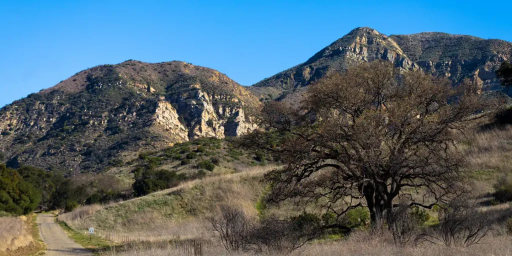
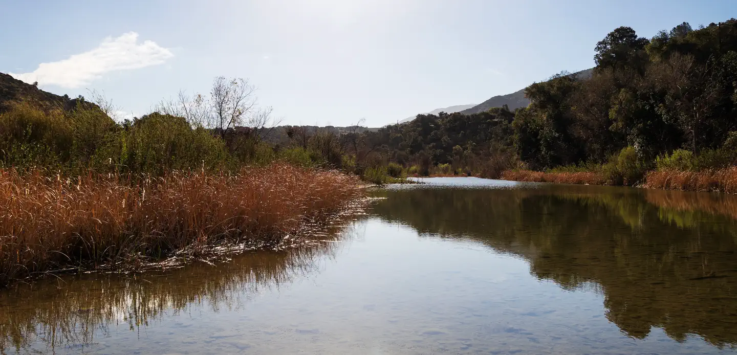
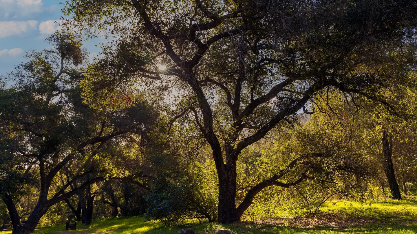
Matias Potrero is a moderate 9.43-mile trail offering a solid day hike through California backcountry with nearly 1,500 feet of elevation gain. The route traverses varied terrain typical of the region, providing good cardiovascular challenge and scenic views. This trail is ideal for hikers seeking a half-day to full-day adventure with moderate physical demands.
Arroyo Burro
~2 min drive
Moderate coastal climb with ocean views and significant elevation gain near Santa Barbara.
Gibraltar
~4 min drive
Steady moderate climb with mountain views near Santa Barbara.
Caliente
~18 min drive
Short, easy hike near Caliente with minimal elevation gain.
Snyder
~5 min drive
Moderate 7-mile hike with 2,369 ft elevation gain in Snyder area.
Rattlesnake
~10 min drive
Steep 4.8-mile climb with 2,000 ft gain in Rattlesnake area.
Tequepis
~20 min drive
Easy 1.1-mile hike with 326 ft elevation gain near Tequepis.
Tunnel
~8 min drive
Demanding 15.69-mile trail with 3,061 ft gain—a full-day adventure for experienced hikers.
West Fork Cold Spring
~10 min drive
Accessible foothill trail with creek drainage and moderate elevation gain.
Mission Pine
~23 min drive
Steep 1-mile climb through pine forest with 500+ ft elevation gain.
Jesusita
~9 min drive
Moderate 8.6-mile Santa Barbara foothills hike with 1,894 ft elevation gain.