Loading…

Free — you'll pick up right here.
Watch this trail
Sign up to watch it — saving subscribes you to gate, closure and report changes.
California
4.8 mi
Distance
1,999 ft
Gain
No agency boundary, access route or field report is mapped to it — so there is no verdict, and we won't guess. We'll tell you the moment this trail has something to say.
Covered nearby
Trails within 25 miles where we do have a current picture.
Nobody's filed a report here yet — be the first.
Why you'll love it
Rattlesnake
AI-suggested draft · review before you go
No permit or access details on file for this trail — check with the local land manager before you go.
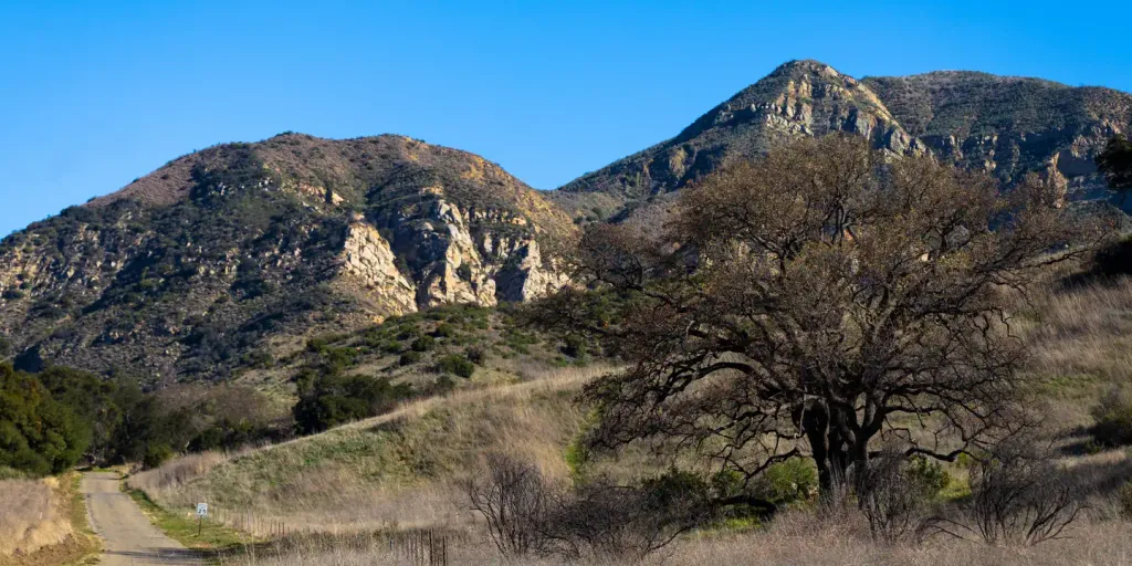
Rattlesnake Trail is a moderately challenging 4.8-mile hike with nearly 2,000 feet of elevation gain, offering a rewarding climb through California terrain. The trail's name hints at the native wildlife you may encounter, so hikers should remain alert and stay on the established path. This route provides solid elevation gain for its distance, making it an excellent choice for building endurance and enjoying expansive views.
Tunnel
~2 min drive
Demanding 15.69-mile trail with 3,061 ft gain—a full-day adventure for experienced hikers.
West Fork Cold Spring
~3 min drive
Accessible foothill trail with creek drainage and moderate elevation gain.
Caliente
~16 min drive
Short, easy hike near Caliente with minimal elevation gain.
Jesusita
~4 min drive
Moderate 8.6-mile Santa Barbara foothills hike with 1,894 ft elevation gain.
Mcmenemy
~7 min drive
Moderate 3.5-mile hike with 1,055 ft elevation gain near McMenemy.
Tequepis
~28 min drive
Easy 1.1-mile hike with 326 ft elevation gain near Tequepis.
Cold Spring
~4 min drive
Challenging 18.85-mile backcountry trek with 3,471 ft elevation gain.
Gibraltar
~9 min drive
Steady moderate climb with mountain views near Santa Barbara.
Murietta
~29 min drive
Easy 1.86-mile trail with minimal elevation gain near Murrieta.
San Ysidro
~7 min drive
Strenuous 8.94-mile climb with 3,772 ft elevation gain near San Ysidro.