Sage Hill
Campground
Campground · 5.1 mi from the trail
San Antonio Creek Trail Connector is an easy 0.41-mile out-and-back hike in Tuckers Grove Park, a county park in California. The trail is short and gentle, with an elevation gain of 80 feet one way and a total round trip of 140 feet. It is a quick outing that pairs well with other trails and climbing in the area. The route is front-loaded, with the steepest grade of about 5% coming at 0.22 miles from the start. The high point is 556 feet, and the trail returns to the starting elevation of 484 feet. The total length is about 0.82 miles, and the estimated time is roughly half an hour. Late summer into early fall is the warmest and driest stretch. Typical averages from a nearby weather station in Santa Barbara show highs in the mid-70s with lows in the mid-50s and almost no wet days from July through September. That station sits about 550 feet below the trail, so temperatures on the route run a bit cooler. Nearby options include the SM Foothills Preserve Trail at 0.7 miles and Santa Barbara Bouldering at 0.8 miles. The San Antonio Creek Trail is 1.2 miles away, and Los Prietos campground is about 5.6 miles off.
Sage Hill
Campground
 If it rainsJllm06, CC BY-SA 3.0 · Wikimedia Commons
Natural history museum in Santa Barbara, California
Places © OpenStreetMap contributors · Photos: Jllm06, CC BY-SA 3.0 (commons)
More in Carpinteria Fire CragsRock climbingPhoto: DieselDemon, CC BY 2.0 (via Flickr)2.3 mi
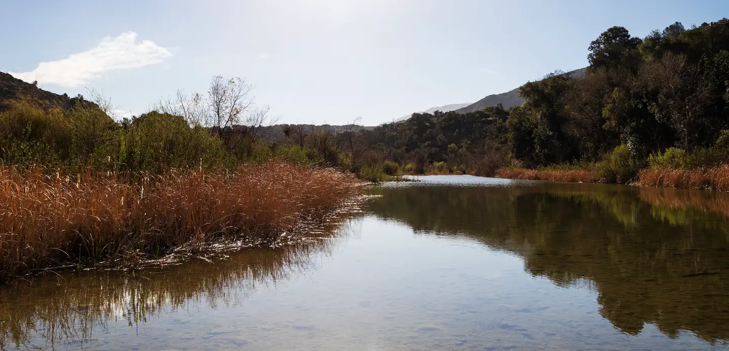 Sage HillSaltwater fishing5.1 mi
 Los PrietosCampingPhoto: Recreation.gov (RIDB) / public domain5.6 mi
Source: Roamze catalog (indexable pages within 10 miles, PostGIS distance)
 TunnelHiking · ~6 min drivePhoto: brewbooks, CC BY-SA 2.0 (via Flickr)
 3 pools TrailHiking · ~7 min drivePhoto: bdearth, CC BY 2.0 (via Flickr)Rock Garden TrailHiking · ~7 min drivePhoto: bdearth, CC BY 2.0 (via Flickr)Cathedral Peak TrailHiking · ~6 min drivePhoto: bdearth, CC BY 2.0 (via Flickr)
 Switch back TrailHiking · ~7 min drivePhoto: Damian Gadal, CC BY 2.0 (via Wikimedia Commons)
 RattlesnakeHiking · ~8 min drivePhoto: bdearth, CC BY 2.0 (via Flickr)
 Matias PotreroHiking · ~7 min drivePhoto: Region 5 Photography, Public domain (via Wikimedia Commons)Tunnel ConnectorHiking · ~7 min drivePhoto: bdearth, CC BY 2.0 (via Flickr)
 ALISO LOOPHiking · ~10 min drivePhoto: Damian Gadal, CC BY 2.0 (via Wikimedia Commons)SnyderHiking · ~9 min drivePhoto: Damian Gadal, CC BY 2.0 (via Wikimedia Commons)
Best months: Year-round. Best months have typical highs of 55–85 °F, lows of 30 °F or warmer (32 °F where the station doesn't record snow), at most one snowy day and no more than 12 wet days.
Jan
64° / 41°
6 wet
Feb
64° / 44°
7 wet
Mar
66° / 46°
6 wet
Apr
68° / 48°
3 wet
May
69° / 51°
2 wet
Jun
70° / 54°
1 wet
Jul
73° / 58°
0 wet
Aug
74° / 58°
0 wet
Sep
74° / 56°
1 wet
Oct
73° / 51°
2 wet
Nov
69° / 44°
3 wet
Dec
64° / 40°
6 wet
Typical high / low (°F) and days with rain or snow, 1991–2020. Measured at Santa Barbara Muni Ap, CA, 4.9 mi away at 9 ft. The station sits about 500 ft lower than this place, so expect it a little cooler here. This station doesn't record snowfall. Source: NOAA NCEI U.S. Climate Normals 1991–2020.
Map and trail data © OpenStreetMap contributors

