Six Mile
- 7.6 mi
- round trip
- 2,973 ft
- climb
- 7,354 ft
- high point
- Out and back
- route
Is Six Mile open right now?
Alert in the area
The Forest Service lists 2 alerts for Klamath National Forest.
Temporarily closure of approximately 3.5 miles of National Forest System Roads 47N01
Agency alert covering Klamath National Forest · Order 05-05-00-26-08 · USFS · Klamath National Forest
Grayback Road Repairs
Agency alert covering Klamath National Forest · USFS · Klamath National Forest
As of · Source: USFS · Klamath National Forest. Agencies don't list every closure — check before you go.
Six Mile is a hard hike in the Salmon River Ranger District of Klamath National Forest in California, managed by the Forest Service. The route is an out-and-back of about 7.6 miles, with a one-way elevation gain of 2,973 feet. It starts at a low point of about 4,420 feet and climbs to a high point of about 7,354 feet. The trail is a natural-surface route, and the climb is a significant one. Plan on a full day, and expect the most demanding stretch to come in the second half of the hike, when the trail reaches its highest point. Several other outings sit within a few miles. Deacon Lee is about 1.4 miles away, and Trail Creek is about 2 miles away. Paddlers can head to the East Fork South Fork Salmon River, about 2.5 miles off, and Idlewild campground is about 6.7 miles away.
Keep exploring — more trails worth the drive
 Photo: theforestprimeval, CC BY-SA 2.0 (via Flickr)
Little Duck Lake
~10 min drive
Little Duck Lake is a 1.51-mile out-and-back trail in California with 392 ft of elevation gain.
 Photo: Calaina, CC BY-SA 3.0 (via Wikimedia Commons)
Horse Range Creek Trail
~11 min drive
4.34-mile out-and-back trail in California with 2,058 ft elevation gain
HIKE
Deacon Lee
~2 min drive
11.59-mile out-and-back trail in California with 2,540 ft gain.
HIKE
Pacific Crest National Scenic Trail
~10 min drive
16.1-mile out-and-back trail in California with 5,135 ft elevation gain/loss.
 Photo: Calaina, CC BY-SA 3.0 (via Wikimedia Commons)
Horse Range Trail
~11 min drive
1.62-mile out-and-back trail in California with 678 ft elevation gain
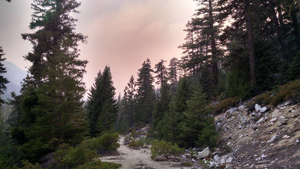 Photo: theforestprimeval, CC BY-SA 2.0 (via Flickr)
Eaton Lake
~12 min drive
2.37-mile out-and-back trail to Eaton Lake in California with 1,196 ft of elevation gain.
HIKE
FISH LAKE CREEK
~4 min drive
7.16-mile out-and-back trail in California with 2,805 ft elevation gain and loss.
HIKE
Rush Creek Trail
~11 min drive
15.86-mile out-and-back trail in California with 5,072 ft elevation gain.
Photo: Calaina, CC BY-SA 3.0 (via Wikimedia Commons)Lipstick Lake
~12 min drive
1.15-mile out-and-back trail to Lipstick Lake in California with 597 ft of elevation gain.
HIKE
Trail Creek
~3 min drive
4-mile out-and-back trail in California with 2,629 ft of elevation gain.

