Sisson-Callahan Trail (Robbers Meadow Segment)
- 1.3 mi
- round trip
- 862 ft
- climb
- 7,060 ft
- high point
- Out and back
- route
Is Sisson-Callahan Trail (Robbers Meadow Segment) open right now?
Closure in the area
There's a closure order in Shasta-Trinity National Forest. It doesn't name Sisson-Callahan Trail (Robbers Meadow Segment), so check the source for the area it covers (2 listed).
Mud and Ash Creek Area and Road Closure
Agency closure covering Shasta-Trinity National Forest · Order 14-26-13 · USFS · Shasta-Trinity National Forest
Road Closure on Wild Mad Road
Agency closure covering Shasta-Trinity National Forest · Order 14-25-09 · USFS · Shasta-Trinity National Forest
Trout Creek Bridge Closure Order
Agency alert covering Shasta-Trinity National Forest · Order 14-26-02 · USFS · Shasta-Trinity National Forest
South Fork Suspension Bridge Closure
Agency alert covering Shasta-Trinity National Forest · Order 14-25-30 · USFS · Shasta-Trinity National Forest
Ah-Di-Na Area Closure
Agency alert covering Shasta-Trinity National Forest · Order 14-25-10 · USFS · Shasta-Trinity National Forest
As of · Source: USFS · Shasta-Trinity National Forest. Agencies don't list every closure — check before you go.
The Sisson-Callahan Trail (Robbers Meadow Segment) is an easy hike of about 1.3 miles in the Mt. Shasta Ranger District of Shasta-Trinity National Forest, managed by the Forest Service. The trail is an out-and-back, and the full round trip is about 2.7 miles with a total elevation gain of 862 feet. The route starts at about 7,060 feet and reaches a high point of 7,060 feet, so the climb is a rolling one with no single steep stretch. The steepest part comes at about 1.2 miles in, with a grade of 25 percent. The Pacific Crest Trail passes about a mile away, and the Chilkoot hike is about 1.8 miles off. Kangaroo Campground sits about 2.2 miles away. For paddling, the Trinity River is about 5 miles away.
- Pacific Crest TrailHiking1.1 mi
- ChilkootHiking1.8 mi
- KangarooCamping2.2 mi
- Trinity RiverCanoeing5.1 mi
- 45 WallRock climbing5.8 mi
- Lover's Leap (Limestone)Rock climbing5.8 mi
- Toad Lake CgCamping5.8 mi
- East Fork Scott RiverCanoeing6.3 mi
Source: Roamze catalog (indexable pages within 10 miles, PostGIS distance)
 Kangaroo LakeHiking · ~4 min drivePhoto: Curt Kline, CC BY 3.0 (via Wikimedia Commons)
- Fen Nature Trail (Sisson)Hiking · ~4 min drivePhoto: Curt Kline, CC BY 3.0 (via Wikimedia Commons)
- Pacific Crest National Scenic Trail #2000Hiking · ~4 min drivePhoto: Curt Kline, CC BY 3.0 (via Wikimedia Commons)
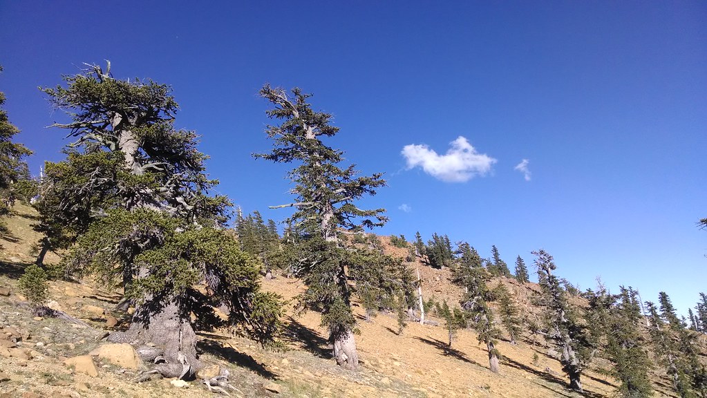 Toad LakeHiking · ~12 min drivePhoto: theforestprimeval, CC BY-SA 2.0 (via Flickr)
 Eddy CreekHiking · ~7 min drivePhoto: theforestprimeval, CC BY-SA 2.0 (via Flickr)
 Houston CreekHiking · ~7 min drivePhoto: theforestprimeval, CC BY-SA 2.0 (via Flickr)
 Pacific Crest TrailHiking · ~6 min drivePhoto: theforestprimeval, CC BY-SA 2.0 (via Flickr)
- Sisson Callahan TrailHiking · ~4 min drive
- Sisson Callahan TrailHiking · ~11 min drivePhoto: theforestprimeval, CC BY-SA 2.0 (via Flickr)
- Pacific Crest TrailHiking · ~2 min drive
Map and trail data © OpenStreetMap contributors
