Shelly Fork Trail
- 1.7 mi
- round trip
- 2,217 ft
- climb
- 4,533 ft
- high point
- Out and back
- route
- Mar–Jun, Sep–Oct
- best months
Shelly Fork Trail is a moderate out-and-back hike in California, about 5 miles from the small community of Deacon Lee Place. The trail is roughly 3.4 miles long, with a total elevation gain of 2,217 feet, and it rises from a starting point near 3,800 feet to a high point of about 4,500 feet. The climb is steepest around the half-mile mark, where the grade reaches about 36 percent. That makes the first part of the route the most demanding, and the trail is best suited to hikers who can handle a steady, moderate climb over a few miles. For comfortable weather, aim for late spring or early fall. Typical averages from a nearby weather station in Callahan show May highs around 73°F and September highs around 83°F, while July and August average in the low 90s. That station sits well below the trail, so temperatures on the higher ground run cooler. The hike takes about two hours to complete. Shelly Fork and Kidder Creek are both within about a mile and a half, and Mill Creek Ponds is about 3 miles away. Paddlers can find the Right Hand Fork North Fork Salmon River about 5 miles off.
- Shelly ForkHiking1 mi
- Kidder CreekHiking1.3 mi
- Mill Creek PondsHiking3 mi
- Right Hand Fork North Fork Salmon RiverCanoeing4.8 mi
- Shackleford CreekCanoeing5.7 mi
- Patterson CreekCanoeing6.2 mi
- Marble MountainRock climbing9.3 mi
- Indian Scotty Group SiteCamping9.4 mi
Source: Roamze catalog (indexable pages within 10 miles, PostGIS distance)
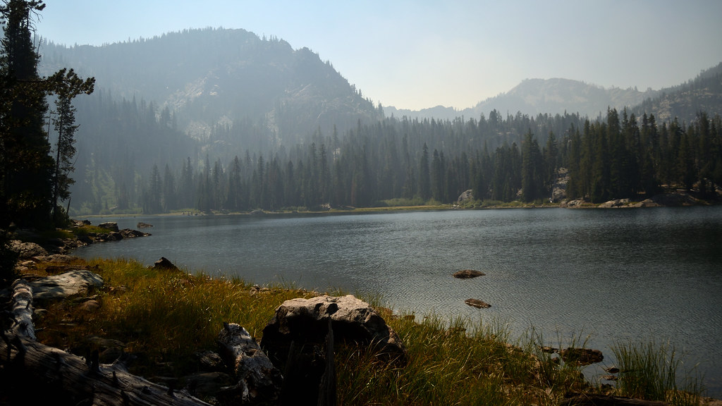 CAMPBELL CUTOFFHiking · ~8 min drivePhoto: Tom Hilton, CC BY 2.0 (via Flickr)
 Campbell LakeHiking · ~8 min drivePhoto: Tom Hilton, CC BY 2.0 (via Flickr)
 Red RockHiking · ~15 min drivePhoto: Calaina, CC BY-SA 3.0 (via Wikimedia Commons)
- North Fork Salmon TrailHiking · ~13 min drive
- Campbell Cutoff TrailHiking · ~8 min drivePhoto: Tom Hilton, CC BY 2.0 (via Flickr)
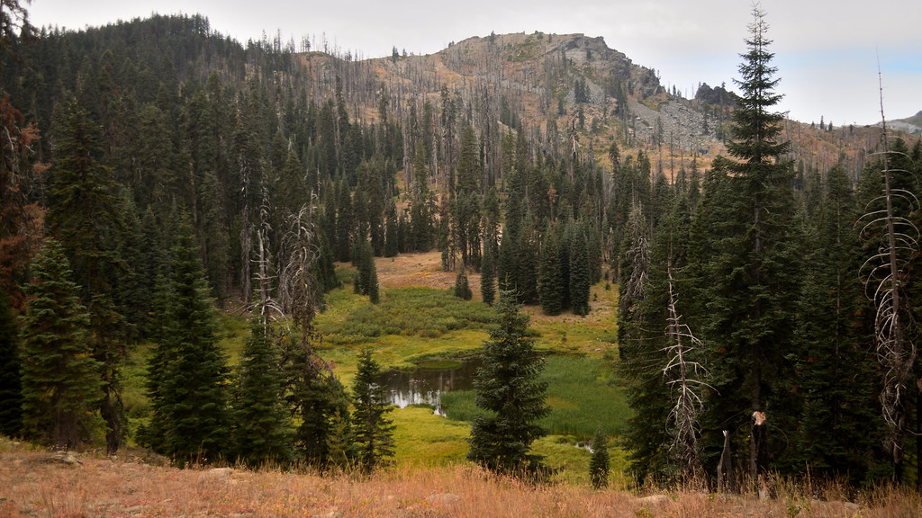 Cold SpringHiking · ~13 min drivePhoto: Tom Hilton, CC BY 2.0 (via Flickr)
- Canyon CreekHiking · ~15 min drivePhoto: Calaina, CC BY-SA 3.0 (via Wikimedia Commons)
- Bull MeadowsHiking · ~8 min drivePhoto: Tom Hilton, CC BY 2.0 (via Flickr)
- Shadow LakeHiking · ~14 min drivePhoto: Tom Hilton, CC BY 2.0 (via Flickr)
- Kidder CreekHiking · ~2 min drive
Best time to visit Shelly Fork Trail
Best months: March–June and September–October. Best months have typical highs of 55–85 °F, lows of 30 °F or warmer (32 °F where the station doesn't record snow), at most one snowy day and no more than 12 wet days.
Jan
48° / 28°
13 wet
Feb
53° / 30°
12 wet
Mar
59° / 32°
12 wet
Apr
65° / 35°
10 wet
May
73° / 40°
8 wet
Jun
81° / 45°
4 wet
Jul
90° / 51°
3 wet
Aug
89° / 49°
2 wet
Sep
83° / 43°
3 wet
Oct
70° / 36°
6 wet
Nov
54° / 31°
11 wet
Dec
46° / 28°
13 wet
Typical high / low (°F) and days with rain or snow, 1991–2020. Measured at Callahan, CA, 15.5 mi away at 3,085 ft. The station sits about 1,400 ft lower than this place, so expect it a little cooler here. This station doesn't record snowfall. Source: NOAA NCEI U.S. Climate Normals 1991–2020.
Map and trail data © OpenStreetMap contributors
