Second Valley
- 5.8 mi
- round trip
- 1,455 ft
- climb
- 8,000 ft
- high point
- Out and back
- route
Is Second Valley open right now?
Alert in the area
The Forest Service lists 2 alerts for Klamath National Forest.
Temporarily closure of approximately 3.5 miles of National Forest System Roads 47N01
Agency alert covering Klamath National Forest · Order 05-05-00-26-08 · USFS · Klamath National Forest
Grayback Road Repairs
Agency alert covering Klamath National Forest · USFS · Klamath National Forest
As of · Source: USFS · Klamath National Forest. Agencies don't list every closure — check before you go.
Second Valley is a moderate out-and-back hike in the Marble Mountain Wilderness, part of the Scott River Ranger District of Klamath National Forest in northern California. The trail is about 5.8 miles long, with a one-way elevation gain of 1,455 feet, and it runs on natural surface. The nearest town is Mugginsville, about 6.4 miles away. The route starts at roughly 6,621 feet and climbs to about 8,000 feet. That makes it a steady, moderate ascent rather than a steep climb, and the trail is well suited to a day in the high country. Several other destinations sit close by. Back Meadows and Deep Lake are both within about a mile and a half, and Wright Lakes is about 1.6 miles away. For an overnight stay, Indian Scotty Group Site is about 3.4 miles off.
Local outfitters
- Applegate Trail Rides45 mi away
- Ashland Family YMCA46 mi away
Not on Roamze yet. Their page has how to reach them.
Keep exploring — more trails worth the drive
 Photo: Tom Hilton, CC BY 2.0 (via Flickr)
Campbell Lake
~5 min drive
1.80-mile out-and-back trail in California with 740 ft elevation gain.
Photo: Tom Hilton, CC BY 2.0 (via Flickr)Campbell Lake Trail
~6 min drive
1.78-mile out-and-back hike in California with 1,011 ft of elevation gain
 Photo: Calaina, CC BY-SA 3.0 (via Wikimedia Commons)
Canyon Creek
~6 min drive
8.40-mile out-and-back trail in California with 2,479 ft gain.
 Photo: Calaina, CC BY-SA 3.0 (via Wikimedia Commons)
Lovers Camp
~6 min drive
0.50-mile out-and-back trail at Lovers Camp in California with 28 ft of elevation gain.
Photo: Tom Hilton, CC BY 2.0 (via Flickr)Bull Meadows
~7 min drive
3.30-mile out-and-back trail in California with 615 ft elevation gain.
Photo: Calaina, CC BY-SA 3.0 (via Wikimedia Commons)Red Rock
~7 min drive
Red Rock is a 9.35-mile out-and-back trail in California with 2,526 feet of elevation gain.
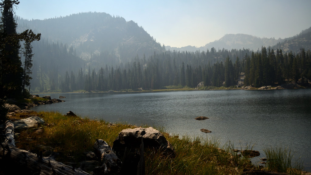 Photo: Tom Hilton, CC BY 2.0 (via Flickr)
Cliff Lake
~7 min drive
2.43-mile out-and-back trail to Cliff Lake in California with 957 ft gain.
 Photo: Calaina, CC BY-SA 3.0 (via Wikimedia Commons)
Marble Rim
~12 min drive
4.44-mile out-and-back trail in California with 991 ft gain.
Photo: Calaina, CC BY-SA 3.0 (via Wikimedia Commons)Haypress
~12 min drive
12.42-mile out-and-back trail in California with 2,107 ft elevation gain.
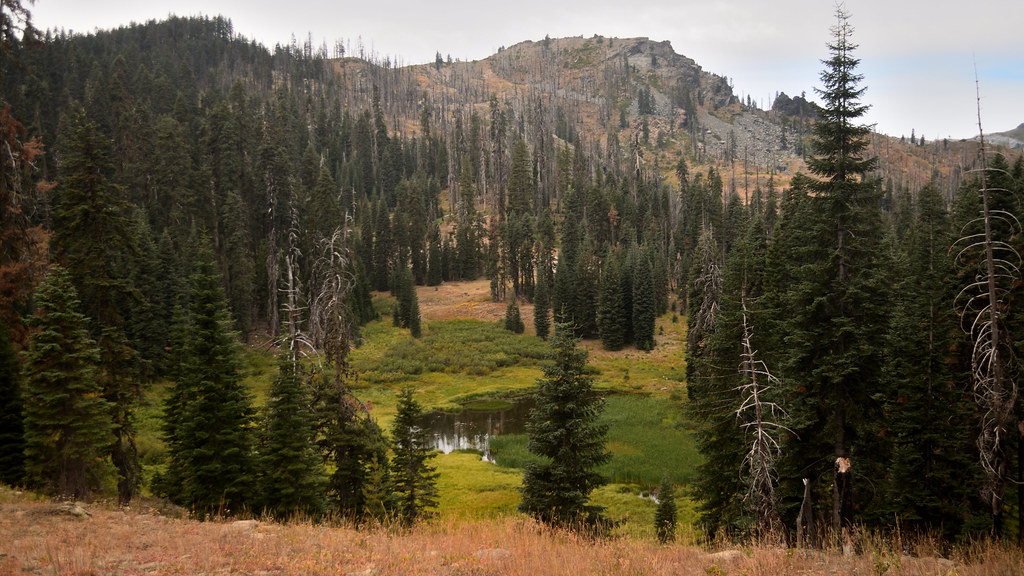 Photo: Tom Hilton, CC BY 2.0 (via Flickr)
Cold Spring
~9 min drive
0.83-mile out-and-back trail in California with 42 ft of elevation gain.
