Porcupine Lake
- 0.4 mi
- round trip
- 60 ft
- climb
- 7,272 ft
- high point
- Out and back
- route
Is Porcupine Lake open right now?
Closure in the area
There's a closure order in Shasta-Trinity National Forest. It doesn't name Porcupine Lake, so check the source for the area it covers (2 listed).
Mud and Ash Creek Area and Road Closure
Agency closure covering Shasta-Trinity National Forest · Order 14-26-13 · USFS · Shasta-Trinity National Forest
Road Closure on Wild Mad Road
Agency closure covering Shasta-Trinity National Forest · Order 14-25-09 · USFS · Shasta-Trinity National Forest
Trout Creek Bridge Closure Order
Agency alert covering Shasta-Trinity National Forest · Order 14-26-02 · USFS · Shasta-Trinity National Forest
South Fork Suspension Bridge Closure
Agency alert covering Shasta-Trinity National Forest · Order 14-25-30 · USFS · Shasta-Trinity National Forest
Ah-Di-Na Area Closure
Agency alert covering Shasta-Trinity National Forest · Order 14-25-10 · USFS · Shasta-Trinity National Forest
As of · Source: USFS · Shasta-Trinity National Forest. Agencies don't list every closure — check before you go.
Porcupine Lake is a short, easy hike in the Mt. Shasta Ranger District of Shasta-Trinity National Forest in California, about 0.4 miles long and roughly 60 feet of elevation gain. The Forest Service manages the land, and the trail is natural-surfaced, with no accessibility features. The route is an out-and-back, starting and ending at the same point. It's a low-effort outing, with the high point at about 7,272 feet and the low at about 7,193 feet. Bikes and horses are both allowed. Toad Lake Campground sits about 0.7 miles away, and the Sisson Callahan Trail (Historic Route) is about 1.8 miles off. Little Picayune is about 2.2 miles away, and the South Fork Sacramento River offers canoeing about 4.2 miles from the trail.
- Toad Lake CgCamping0.7 mi
- Sisson Callahan Trail (Historic Route)Hiking1.8 mi
- Little PicayuneHiking2.2 mi
- Gumboot Lake Cg-FCamping4.2 mi
- South Fork Sacramento RiverCanoeing4.2 mi
- Mt. Shasta AreaLake fishing5.6 mi
- The CubeRock climbing6.5 mi
- South ForkRock climbing6.5 mi
Source: Roamze catalog (indexable pages within 10 miles, PostGIS distance)
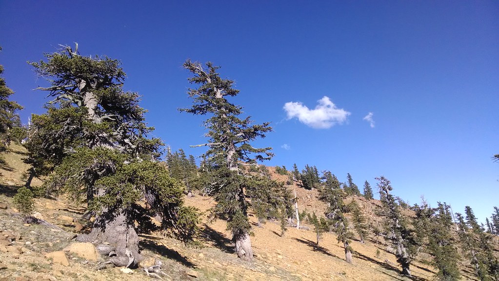 Sisson Callahan TrailHiking · ~4 min drivePhoto: theforestprimeval, CC BY-SA 2.0 (via Flickr)
- Toad LakeHiking · ~4 min drivePhoto: theforestprimeval, CC BY-SA 2.0 (via Flickr)
 Pacific Crest TrailHiking · ~7 min drivePhoto: randomduck, CC BY-SA 2.0 (via Flickr)
- Sisson Callahan Trail (Historic Route)Hiking · ~3 min drive
- Sisson-Callahan (Historic)Hiking · ~4 min drivePhoto: theforestprimeval, CC BY-SA 2.0 (via Flickr)
- Sisson Callahan TrailHiking · ~7 min drive
 Pacific Crest TrailHiking · ~9 min drivePhoto: theforestprimeval, CC BY-SA 2.0 (via Flickr)
- Deadfall LakeHiking · ~7 min drive
- Picayune Lake South TrailHiking · ~7 min drivePhoto: randomduck, CC BY-SA 2.0 (via Flickr)
- Pacific Crest National Scenic Trail #2000Hiking · ~11 min drive

