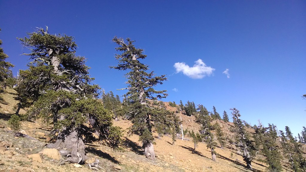
South Fork Sacramento River
- 8.1 mi
- distance
- 5,484 ft
- high point
Is South Fork Sacramento River open right now?
Closure in the area
There's a closure order in Shasta-Trinity National Forest. It doesn't name South Fork Sacramento River, so check the source for the area it covers (2 listed).
Mud and Ash Creek Area and Road Closure
Agency closure covering Shasta-Trinity National Forest · Order 14-26-13 · USFS · Shasta-Trinity National Forest
Road Closure on Wild Mad Road
Agency closure covering Shasta-Trinity National Forest · Order 14-25-09 · USFS · Shasta-Trinity National Forest
Trout Creek Bridge Closure Order
Agency alert covering Shasta-Trinity National Forest · Order 14-26-02 · USFS · Shasta-Trinity National Forest
South Fork Suspension Bridge Closure
Agency alert covering Shasta-Trinity National Forest · Order 14-25-30 · USFS · Shasta-Trinity National Forest
Ah-Di-Na Area Closure
Agency alert covering Shasta-Trinity National Forest · Order 14-25-10 · USFS · Shasta-Trinity National Forest
As of · Source: USFS · Shasta-Trinity National Forest. Agencies don't list every closure — check before you go.
South Fork Sacramento River is an 8.1-mile paddling stretch near Mount Shasta, California. It flows year-round. USGS models an average flow of about 123 cfs and a gradient of about 256.0 feet per mile. Land along it is managed by the U.S. Forest Service.
Local outfitters
- Headwaters Adventure Co47 mi away
Not on Roamze yet. Their page has how to reach them.
- Mt. Shasta AreaLake fishing1.5 mi
- Gray Rock LakeHiking1.8 mi
- Castle Shore Trail #5W06Hiking2.7 mi
- Bathroom BoulderRock climbing2.8 mi
- Castle Lake CampgroundCamping2.8 mi
- Castle Lake Cg-FCamping2.8 mi
- The CubeRock climbing3.7 mi
 Sacramento RiverCanoeingPhoto: David Monniaux, CC BY-SA 3.0 (via Wikimedia Commons)5.8 mi
Source: Roamze catalog (indexable pages within 10 miles, PostGIS distance)
- Sacramento RiverCanoeing · ~10 min drivePhoto: David Monniaux, CC BY-SA 3.0 (via Wikimedia Commons)
- Pollard Gulch Boating SiteBoat launch · ~30 min drive
- Castle CreekCanoeing · ~11 min drive
- Brown Bear Boating SiteBoat launch · ~32 min drive
- Wagon CreekCanoeing · ~11 min drive
- Antlers Boat RampBoat launch · ~43 min drive
- Little Castle CreekCanoeing · ~11 min drive
- Lake Mccloud RampBoat launch · ~32 min drive
- Trinity RiverCanoeing · ~17 min drive
- Trinity Center Boat RampBoat launch · ~40 min drive