Kidd Creek
- 5.5 mi
- round trip
- 2,104 ft
- climb
- 7,526 ft
- high point
- Out and back
- route
Is Kidd Creek open right now?
Alert in the area
The Forest Service lists 2 alerts for Klamath National Forest.
Temporarily closure of approximately 3.5 miles of National Forest System Roads 47N01
Agency alert covering Klamath National Forest · Order 05-05-00-26-08 · USFS · Klamath National Forest
Grayback Road Repairs
Agency alert covering Klamath National Forest · USFS · Klamath National Forest
As of · Source: USFS · Klamath National Forest. Agencies don't list every closure — check before you go.
Kidd Creek is a 5.5-mile out-and-back hike in the Trinity Alps Wilderness, part of the Salmon River Ranger District of Klamath National Forest in northern California. The Forest Service manages the land, and the trail is a natural-surface route with a moderate difficulty rating. The climb starts at about 5,389 feet and reaches a high point of 7,526 feet, with a total elevation gain of 2,104 feet. That makes it a steady, moderate day for anyone comfortable with a few thousand feet of climbing. Several other destinations sit within a few miles. Rose is about 1.7 miles away, and Ward Lake is about 2.3 miles off. The Trinity Alps climbing area is about 2.6 miles away, and Big Flat Campground is about 3 miles away for an overnight base.
Keep exploring — more trails worth the drive
 Photo: ilya_ktsn, CC BY 2.0 (via Flickr)
Ward Lake
~4 min drive
3.00-mile out-and-back trail in California with 7,952 ft elevation gain.
 Photo: ilya_ktsn, CC BY 2.0 (via Flickr)
Landers Lake
~5 min drive
8.39-mile out-and-back trail to Landers Lake in California with 1,563 ft of elevation gain.
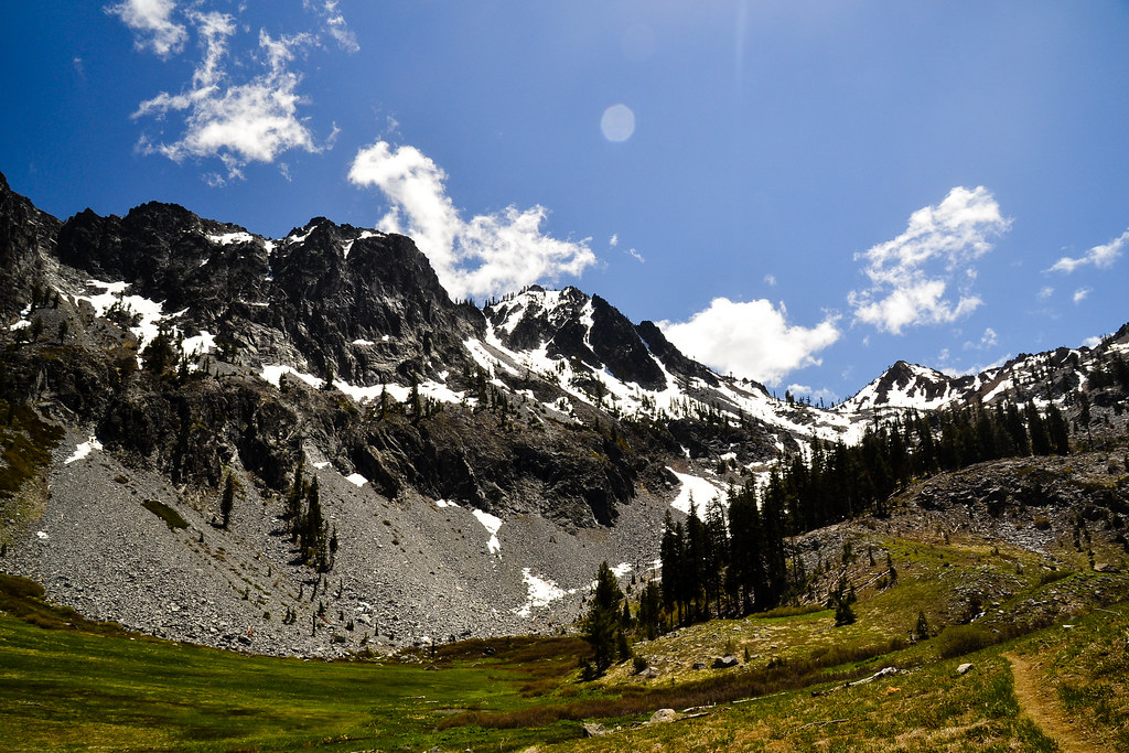 Photo: ilya_ktsn, CC BY 2.0 (via Flickr)
Cow Camp Spur
~9 min drive
0.6-mile out-and-back trail with 138 ft gain in California.
HIKE
Old Caribou Trail
~4 min drive
9.32-mile out-and-back hike in California with 5,600 ft elevation gain
 Photo: ilya_ktsn, CC BY 2.0 (via Flickr)
Willow Creek
~5 min drive
4.60-mile out-and-back trail in California with 2,412 ft elevation gain.
 Photo: ilya_ktsn, CC BY 2.0 (via Flickr)
Mumford Basin Trail (Not Maintained)
~7 min drive
6.6-mile out-and-back trail in California with 2,677 ft elevation gain and loss.
 Photo: ilya_ktsn, CC BY 2.0 (via Flickr)
Seven Up Peak
~9 min drive
2.40-mile out-and-back trail in California with 758 ft gain.
HIKE
Stuart Fork Trail
~9 min drive
24.6-mile out-and-back trail in California with 4,755 ft gain/loss
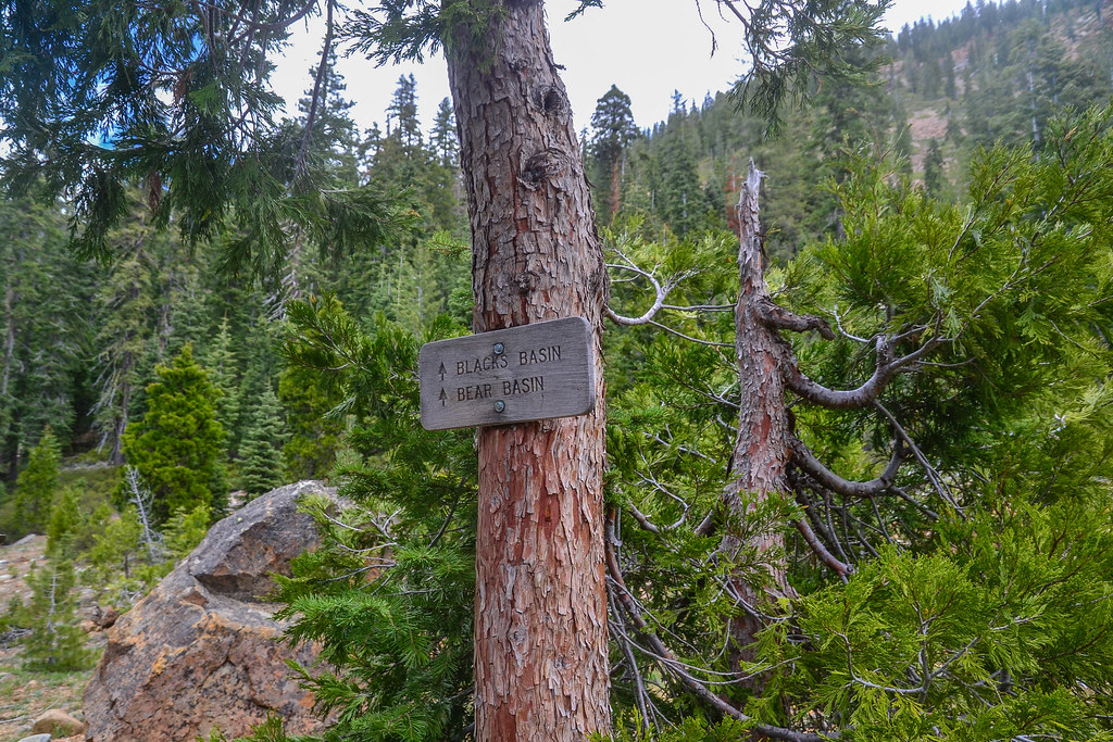 Photo: ilya_ktsn, CC BY 2.0 (via Flickr)
Blacks Basin
~8 min drive
4.40-mile out-and-back trail in California with 1,764 ft elevation gain.
 Photo: ilya_ktsn, CC BY 2.0 (via Flickr)
Granite Lake
~11 min drive
13.88-mile out-and-back to Granite Lake in California with 3,468 ft elevation gain.
