Mount Hough Trail
- 4.4 mi
- round trip
- 2,703 ft
- climb
- 7,029 ft
- high point
- Out and back
- route
Caution today
Agency alerts are in effect for this area; weather is good · USFS, OpenWeather · checked just now
Is Mount Hough Trail open right now?
Alert in the area
The Forest Service lists an alert for Plumas National Forest.
Stage I Fire Restrictions - Plumas National Forest
Agency alert covering Plumas National Forest · Order 05-11-26-04 · USFS · Plumas National Forest
As of · Source: USFS · Plumas National Forest. Agencies don't list every closure — check before you go.
Mount Hough Trail is a hard, out-and-back route of about 8.8 miles with a total climb of 2,703 feet, set in the Mt. Hough Ranger District of Plumas National Forest in northeastern California. The trail starts and ends at the summit, with a high point of 7,029 feet and a low point of 5,574 feet. The steepest stretch comes early, around 0.6 miles in, with a grade of about 22 percent, and the trail is back-loaded, meaning the climb is most intense in the first half. The trip takes about 4.5 hours, and the trailhead is Mt Hough Trailhead. The Forest Service manages the surrounding land. Several other routes sit close by. Mt Hough Ridge is just 0.1 mile away, and the Mount Hough Summit Connector is 0.3 mile away. Spanish Creek Campground, about 4.3 miles off, offers a place to stay, and the Crystal Lake climbing area is also within a third of a mile.
- MT HOUGH RIDGEHiking0.1 mi
- Mount Hough Summit ConnectorHiking0.3 mi
- Crystal LakeRock climbing0.3 mi
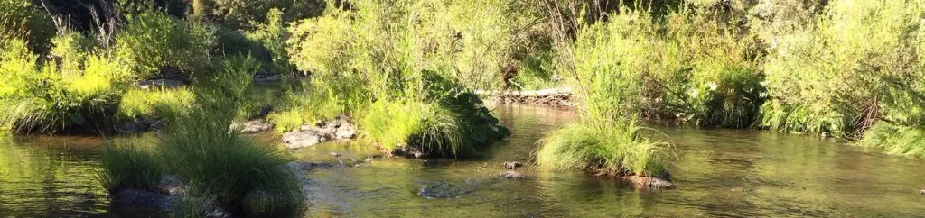 Spanish Creek CampgroundCampingPhoto: Recreation.gov (RIDB) / public domain4.3 mi
- Spanish Creek (Family Cg)Camping4.3 mi
- Hosselkus CreekCanoeing8.6 mi
- Wolf CreekCanoeing8.6 mi
- The MoonRock climbing9.5 mi
Source: Roamze catalog (indexable pages within 10 miles, PostGIS distance)
- Mount Hough Summit ConnectorHiking · Next door
- Tollgate TrailHiking · Next door
- 10M29 TRAILHiking · ~2 min drive
- Taylor Creek TrailHiking · ~6 min drive
- CLEAR CREEK CONNECTORHiking · ~3 min drive
- Clear Creek TrailHiking · ~3 min drive
- Cascade TrailHiking · ~7 min drive
- King's Crossing TrailHiking · ~6 min drive
- CLEAR CREEK TIEHiking · ~4 min drive
- TAYLOR CREEKHiking · ~9 min drive
Map and trail data © OpenStreetMap contributors
