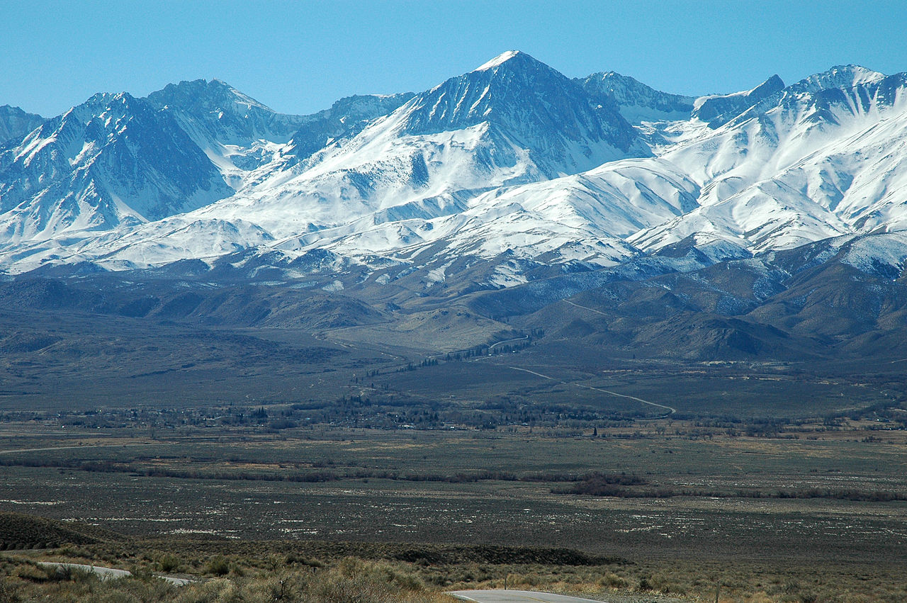
Big Pine Camp
Campground
Campground · 0.4 mi from the trail
Alert in the area
The Forest Service lists 2 alerts for Los Padres National Forest.
Los Padres Fire Use and Firearm Restrictions
Agency alert covering Los Padres National Forest · Order 05-07-00-26-05 · USFS · Los Padres National Forest
Santa Barbara Front Country Fire Use Restrictions
Agency alert covering Los Padres National Forest · Order 05-07-5406-01 · USFS · Los Padres National Forest
As of · Source: USFS · Los Padres National Forest. Agencies don't list every closure — check before you go.
Mission Pine Trail is a long and steep out-and-back hike in California's Los Padres National Forest, on the Santa Barbara Ranger District. The route is 25 miles long, and the total round-trip elevation gain is about 5,550 feet, with the high point reaching 6,541 feet. The trail starts at about 6,309 feet and ends at about 5,321 feet, and it is rated expert, so plan for a full day on foot. The climb is steady, but it gets very steep at about 2.9 miles in, where the grade reaches 44 percent. The trip takes about 11 hours, so you'll want to go prepared for a long day with plenty of food and water. Several other hikes sit close by. Grapevine is about 1.4 miles away, Alamar about 1.9 miles, and Madulce about 2.5 miles. For time on the water, Mono Creek is about 7.5 miles away and offers canoeing.
Big Pine Camp
Campground
 If it rainsMike Boucher, CC BY 2.0 · Wikimedia Commons
Places © OpenStreetMap contributors, Places © Overture Maps Foundation · Photos: Mike Boucher, CC BY 2.0 (commons)
More in CarpinteriaSource: Roamze catalog (indexable pages within 10 miles, PostGIS distance)
 Mono-AlamarHiking · ~16 min drivePhoto: snapper from Ventura County, CA, USA, CC BY 2.0 (via Wikimedia Commons)Mono Alamar TrailHiking · ~18 min drivePhoto: snapper from Ventura County, CA, USA, CC BY 2.0 (via Wikimedia Commons)
 Aliso TrailHiking · ~19 min drivePhoto: Region 5 Photography, Public domain (via Wikimedia Commons)
 GibraltarHiking · ~19 min drivePhoto: Damian Gadal, CC BY 2.0 (via Wikimedia Commons)Cold Spring TrailHiking · ~20 min drivePhoto: snapper from Ventura County, CA, USA, CC BY 2.0 (via Wikimedia Commons)Camuesa Peak RouteHiking · ~18 min drivePhoto: Damian Gadal, CC BY 2.0 (via Wikimedia Commons)Aliso Canyon TrailHiking · ~20 min drivePhoto: Region 5 Photography, Public domain (via Wikimedia Commons)
Map and trail data © OpenStreetMap contributors