Loading…

Free — you'll pick up right here.
Watch this trail
Sign up to watch it — saving subscribes you to gate, closure and report changes.
California
6.3 mi
Distance
552 ft
Gain
We won't guess. Here is exactly what we do and don't know.
What we do know
Inside Los Padres National Forest
National Forest boundary is mapped — agency alerts for it feed this page automatically.
Boundary data
What's missing
No access route mapped
We don't yet know which road reaches this trailhead, so we can't tell you if it's gated.
Nobody's filed a report here yet — be the first.
Why you'll love it
Madulce
AI-suggested draft · review before you go
No permit or access details on file for this trail — check with the local land manager before you go.
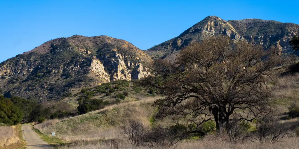
The Madulce Trail is a moderate day hike offering a pleasant ascent through California backcountry with steady elevation gain. This 6.29-mile route provides good cardiovascular challenge while remaining accessible to experienced hikers, with rewarding views and typical Sierra or coastal range terrain depending on the specific location within the Madulce area.
Alamar
~1 min drive
Moderate 12.72-mile foothill hike with gentle elevation gain and scenic views.
Madulce Peak
~1 min drive
Steep 4.11-mile summit hike with 1,700 ft elevation gain.
Caliente
~20 min drive
Short, easy hike near Caliente with minimal elevation gain.
Grapevine
~6 min drive
Moderate 10.9-mile trail with 1,240 ft gain near Grapevine, CA.
Puerta Suelo
~5 min drive
Moderate 5.91-mile climb with 1,809 ft gain through scenic California backcountry.
Mission Pine
~21 min drive
Steep 1-mile climb through pine forest with 500+ ft elevation gain.
Judell
~7 min drive
Moderate 7-mile hike with 596 ft elevation gain through scenic California backcountry.
Indian Canyon
~15 min drive
Scenic 4.5-mile canyon hike with 575 ft elevation gain near Indian Canyon.
Mine Camp
~24 min drive
Easy 1.35-mile foothill trail with modest elevation gain and historic character.
Bull Ridge
~16 min drive
Moderate 12.95-mile ridge loop with 394 ft elevation gain.