Bluff Camp
Campground
Campground · 3.6 mi from the trail
Alert in the area
The Forest Service lists 2 alerts for Los Padres National Forest.
Los Padres Fire Use and Firearm Restrictions
Agency alert covering Los Padres National Forest · Order 05-07-00-26-05 · USFS · Los Padres National Forest
Santa Barbara Front Country Fire Use Restrictions
Agency alert covering Los Padres National Forest · Order 05-07-5406-01 · USFS · Los Padres National Forest
As of · Source: USFS · Los Padres National Forest. Agencies don't list every closure — check before you go.
Poplar Trail is a hard hike in the Santa Barbara Ranger District of Los Padres National Forest in California, managed by the Forest Service. The route is an out-and-back that covers about 12.5 miles, with a total elevation gain of 3,582 feet. The trail starts at 2,961 feet and climbs to a high point of 4,486 feet, and the steepest stretch comes within the first half mile, where the grade reaches about 35 percent. The trail is a steady climb, and the round trip involves about 3,582 feet of gain and the same amount of loss. Plan on about six hours for the trip. Alamar Trail lies about 1.2 miles away, and Puerta Suelo is about 2.7 miles off. For paddling, Mono Creek is about 3.5 miles away, and Upper Oso Campground is about 9.5 miles away.
Bluff Camp
Campground
 If it rainsMike Boucher, CC BY 2.0 · Wikimedia Commons
Places © OpenStreetMap contributors · Photos: Mike Boucher, CC BY 2.0 (commons)
More in Carpinteria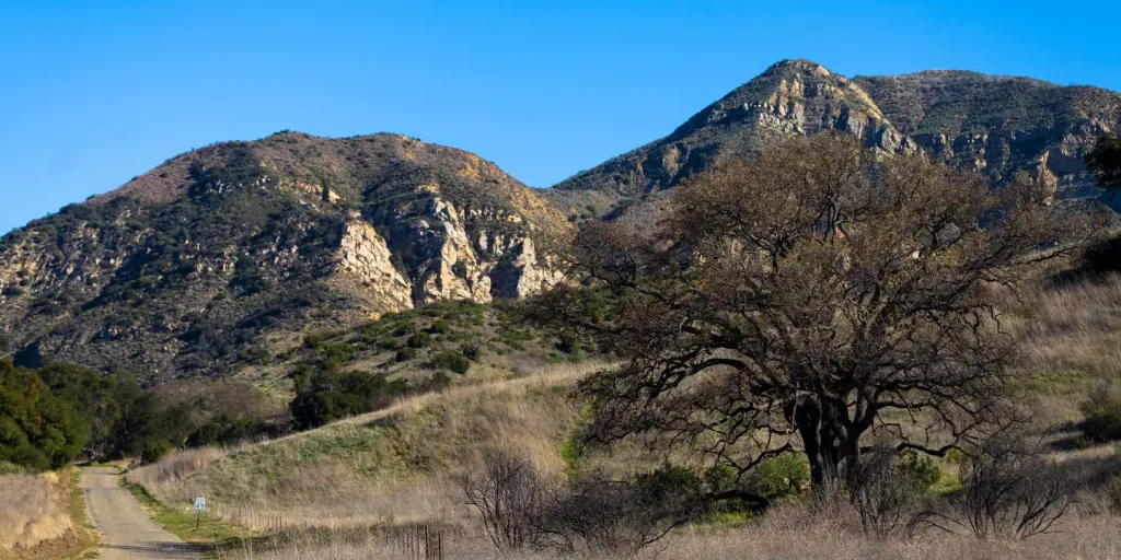 Upper Oso CampgroundCampingPhoto: Recreation.gov (RIDB) / public domain9.5 mi
Source: Roamze catalog (indexable pages within 10 miles, PostGIS distance)
 Mono-AlamarHiking · ~9 min drivePhoto: snapper from Ventura County, CA, USA, CC BY 2.0 (via Wikimedia Commons)Mono Alamar TrailHiking · ~12 min drivePhoto: snapper from Ventura County, CA, USA, CC BY 2.0 (via Wikimedia Commons)Cold Spring TrailHiking · ~13 min drivePhoto: snapper from Ventura County, CA, USA, CC BY 2.0 (via Wikimedia Commons)
 Arroyo BurroHiking · ~18 min drivePhoto: Region 5 Photography, Public domain (via Wikimedia Commons)
 GibraltarHiking · ~15 min drivePhoto: Damian Gadal, CC BY 2.0 (via Wikimedia Commons)
 Aliso TrailHiking · ~18 min drivePhoto: Region 5 Photography, Public domain (via Wikimedia Commons)
 North Fork Cold Spring TrailHiking · ~20 min drivePhoto: breic, CC BY 2.0 (via Flickr)
 ALISO LOOPHiking · ~20 min drivePhoto: Damian Gadal, CC BY 2.0 (via Wikimedia Commons)Aliso Canyon TrailHiking · ~18 min drivePhoto: Region 5 Photography, Public domain (via Wikimedia Commons)
Map and trail data © OpenStreetMap contributors

