Middle Camuesa Camp
Campground
Campground · 0.9 mi from the trail
 Photo: Damian Gadal, CC BY 2.0 (via Wikimedia Commons)
Alert in the area
The Forest Service lists 2 alerts for Los Padres National Forest.
Los Padres Fire Use and Firearm Restrictions
Agency alert covering Los Padres National Forest · Order 05-07-00-26-05 · USFS · Los Padres National Forest
Santa Barbara Front Country Fire Use Restrictions
Agency alert covering Los Padres National Forest · Order 05-07-5406-01 · USFS · Los Padres National Forest
As of · Source: USFS · Los Padres National Forest. Agencies don't list every closure — check before you go.
Camuesa Peak Route is a 5.1-mile out-and-back hike in California's Los Padres National Forest, within the Santa Barbara Ranger District. The trail begins at an elevation of about 3,081 feet and climbs to a high point of 3,116 feet, with a total round-trip gain of about 2,380 feet. The peak itself sits just a few feet above the route's highest point. The most comfortable months for this hike tend to be spring and fall. Typical averages from a nearby weather station show April highs around 76°F and October highs around 83°F, while July and August average in the mid-90s. That station sits roughly 1,550 feet below the trail, so temperatures on the route run cooler than those figures. The route is a moderate climb, and the steepest stretch comes around mile 1.8, where the grade reaches about 20%. Plan for about three hours on the trail. Gibraltar is about 1.4 miles away, and the Matias Connector is about 2.2 miles away. Upper Oso Campground, about 3.6 miles off, is the closest place to camp. Climbers will find the Morning Glory area about 3.8 miles from the route.
Middle Camuesa Camp
Campground
 If it rainsMike Boucher, CC BY 2.0 · Wikimedia Commons
Places © OpenStreetMap contributors, Places © Overture Maps Foundation · Photos: Mike Boucher, CC BY 2.0 (commons)
More in CarpinteriaDaily highs and lows, wind and the chance of precipitation at the summit and route start for the next 7 days, from the Open-Meteo model.
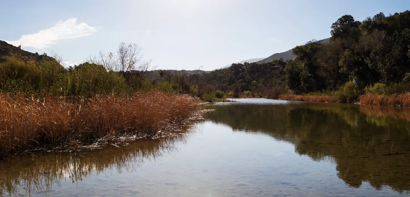
GibraltarHikingPhoto: Damian Gadal, CC BY 2.0 (via Wikimedia Commons)1.4 mi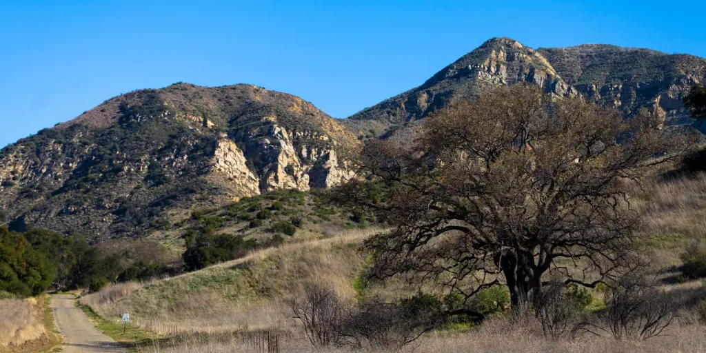 Upper Oso CampgroundCampingPhoto: Recreation.gov (RIDB) / public domain3.6 mi
 Sage HillSaltwater fishing5.7 mi
Source: Roamze catalog (indexable pages within 10 miles, PostGIS distance)
GibraltarHiking · ~2 min drivePhoto: Damian Gadal, CC BY 2.0 (via Wikimedia Commons) Matias PotreroHiking · ~6 min drivePhoto: Region 5 Photography, Public domain (via Wikimedia Commons)
 Cold Spring TrailHiking · ~7 min drivePhoto: snapper from Ventura County, CA, USA, CC BY 2.0 (via Wikimedia Commons)Mono Alamar TrailHiking · ~7 min drivePhoto: snapper from Ventura County, CA, USA, CC BY 2.0 (via Wikimedia Commons)Arroyo BurroHiking · ~7 min drivePhoto: Region 5 Photography, Public domain (via Wikimedia Commons)Lower Oso To Upper Oso TrailHiking · ~8 min drivePhoto: Region 5 Photography, Public domain (via Wikimedia Commons)
 Rock Garden TrailHiking · ~8 min drivePhoto: bdearth, CC BY 2.0 (via Flickr)Mono-AlamarHiking · ~7 min drivePhoto: snapper from Ventura County, CA, USA, CC BY 2.0 (via Wikimedia Commons)
 Aliso TrailHiking · ~8 min drivePhoto: Region 5 Photography, Public domain (via Wikimedia Commons)
 Root Cellar TrailHiking · ~9 min drivePhoto: breic, CC BY 2.0 (via Flickr)
Best months: October–May. Best months have typical highs of 55–85 °F, lows of 30 °F or warmer (32 °F where the station doesn't record snow), at most one snowy day and no more than 12 wet days.
Jan
66° / 36°
8 wet
Feb
67° / 36°
9 wet
Mar
70° / 38°
7 wet
Apr
76° / 41°
4 wet
May
80° / 46°
2 wet
Jun
88° / 49°
0 wet
Jul
94° / 55°
0 wet
Aug
96° / 54°
0 wet
Sep
91° / 51°
1 wet
Oct
83° / 45°
2 wet
Nov
73° / 40°
3 wet
Dec
64° / 34°
6 wet
Typical high / low (°F) and days with rain or snow, 1991–2020. Measured at Gibraltar Dam #2, CA, 1.8 mi away at 1,558 ft. The station sits about 1,600 ft lower than this place, so expect it a little cooler here. This station doesn't record snowfall. Source: NOAA NCEI U.S. Climate Normals 1991–2020.
About 2.5 mi round trip.
About 2,380 ft of climbing round trip.
It is rated moderate.
About 1.5 hours round trip.
Map and trail data © OpenStreetMap contributors


