Loading…

Free — you'll pick up right here.
Watch this trail
Sign up to watch it — saving subscribes you to gate, closure and report changes.
California
15.3 mi
Distance
2,156 ft
Gain
An agency closure order is in effect for this area; weather is good
2 factors · 2 sources
Newest 50 min ago · oldest 26 d
problem: Agency alerts
14 active alerts in Stanislaus National Forest; most severe: Extension of Seasonal Road Closures
USFS26 d ago
clear: Weather
Clear, high 65°F / low 50°F, 0% precip — 100/100 for hike
OpenWeather50 min ago
Been out here in the last few days? One report keeps this current for everyone.
Why you'll love it
Underwood Valley
AI-suggested draft · review before you go
No permit or access details on file for this trail — check with the local land manager before you go.
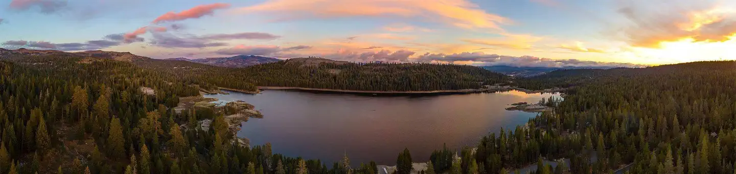
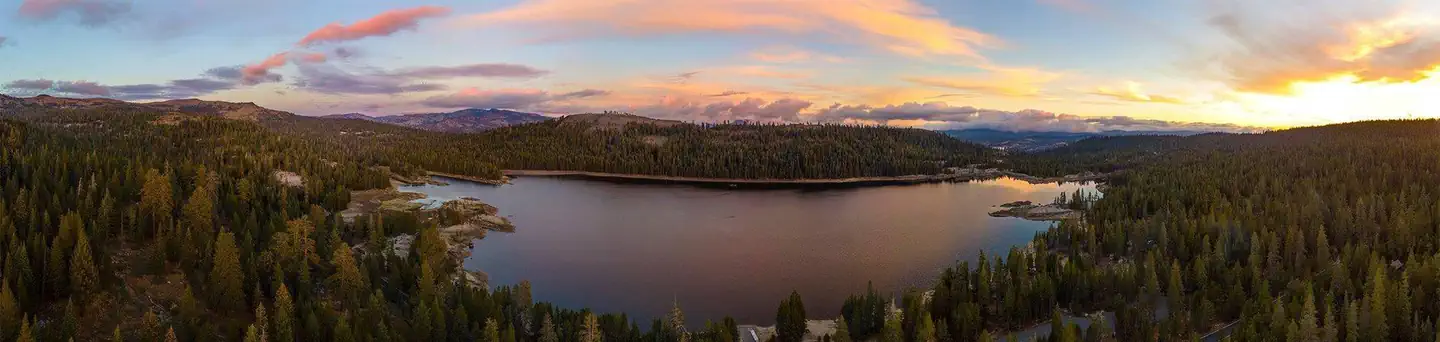
Underwood Valley offers a challenging 15+ mile journey through California's diverse terrain, combining significant elevation gain with extended distance for experienced hikers. This trail traverses the scenic Underwood Valley region, rewarding dedicated hikers with expansive views and varied landscape transitions. The substantial 2,156 ft elevation gain over the distance demands solid fitness and trail experience.
Lake Valley
~1 min drive
11.45-mile moderate valley loop with gentle elevation gain and scenic meadow views.
Woodchuck
~3 min drive
Easy 2.27-mile loop with minimal elevation gain, ideal for beginners.
North Lake Alpine
~3 min drive
Alpine lake hike near Bishop with moderate elevation and scenic mountain views.
07N17 Snow Trail
~3 min drive
Moderate 7.2-mile day hike with 325 ft elevation gain and scenic views.
Lodgepole
~3 min drive
Easy 1.25-mile forest walk through lodgepole pine groves.
Emigrant Trail
~5 min drive
A 3.20-mile out-and-back trail in California connected to the Mormon Carson Emigrant Trail system.
Lp01g Snow Trail
~3 min drive
Easy 1-mile winter snowshoe trail with minimal elevation gain.
Osborn Crest
~3 min drive
Short, easy foothills hike with modest elevation gain near Osborn Crest.
Elephant Rock
~5 min drive
Scenic 5.2-mile hike to Elephant Rock with 344 ft elevation gain.
Highland Creek
~4 min drive
Remote 34-mile alpine trek with 3,227 ft gain in California highlands.