Heart Lake Nrt
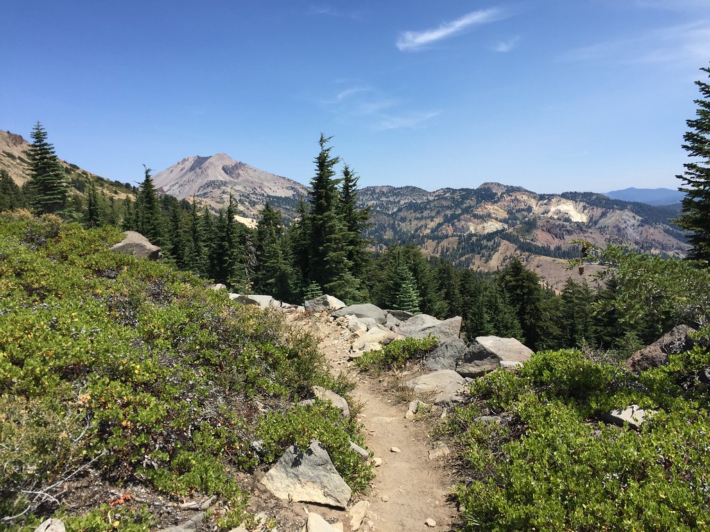 Photo: ray_explores, CC BY 2.0 (via Flickr)
- 1.0 mi
- round trip
- 542 ft
- climb
- 7,479 ft
- high point
- Out and back
- route
Is HEART LAKE NRT open right now?
Closure in the area
There's a closure order in Lassen National Forest. It doesn't name HEART LAKE NRT, so check the source for the area it covers (3 listed).
Harmful Algal Blooms
Agency closure covering Lassen National Forest · USFS · Lassen National Forest
Forest Road Closure Order
Agency closure covering Lassen National Forest · Order 06-26-01 · USFS · Lassen National Forest
SAFETY ALERT - South Antelope Bridge out, Do Not Cross
Agency closure covering Lassen National Forest · USFS · Lassen National Forest
As of · Source: USFS · Lassen National Forest. Agencies don't list every closure — check before you go.
Heart Lake NRT is a short, easy hike in the Hat Creek Ranger District of Lassen National Forest in California, managed by the Forest Service. The trail is about a mile long and rises roughly 380 feet from its starting point at 7,250 feet to a high of 7,479 feet, making it an out-and-back route with a total climb of about 540 feet. The steepest part of the trail comes early, around 0.4 miles in, where the grade reaches about 11 percent. The rest of the route is gentle, and the return trip mirrors the ascent. Several other outings sit within a few miles. Brokeoff Mountain Trail is about 2.4 miles away and Ridge Lakes Trail about 2.6 miles. Climbers can head to Eagle Peak, about 4.2 miles off, and Rocky Knoll campground is about 4.5 miles away.
- Brokeoff Mountain TrailHiking2.4 mi
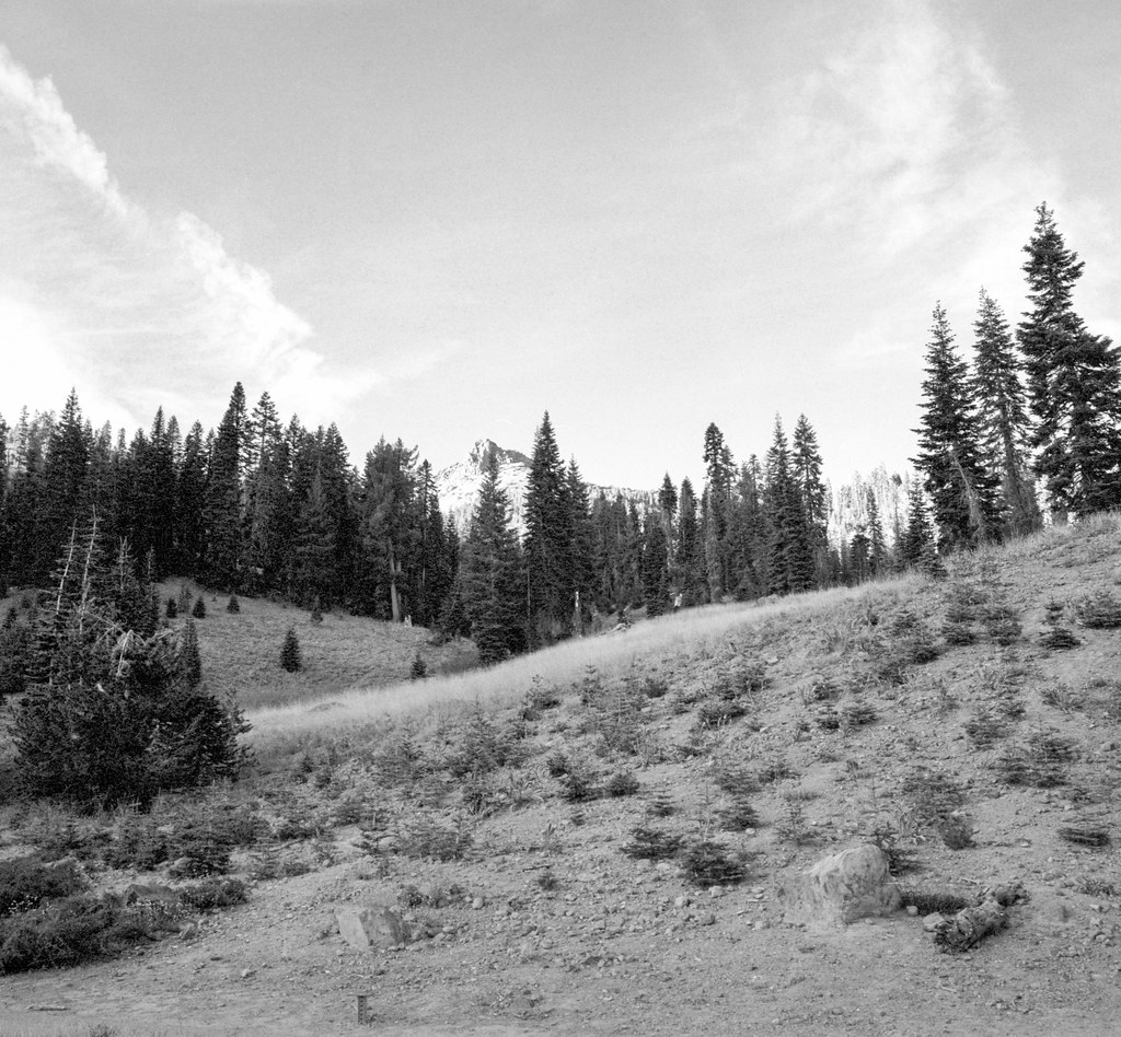 Ridge Lakes TrailHikingPhoto: nonbinaryanalog, CC BY-SA 2.0 (via Flickr)2.6 mi
- Eagle PeakRock climbing4.2 mi
- Rick's Boulder aka The BeakRock climbing4.2 mi
- Rocky KnollCamping4.5 mi
- Manzanita Lake Group CampgroundCamping6.5 mi
- Bailey CreekCanoeing9.4 mi
- Digger CreekCanoeing9.7 mi
Source: Roamze catalog (indexable pages within 10 miles, PostGIS distance)
- Ridge Lakes TrailHiking · ~4 min drivePhoto: nonbinaryanalog, CC BY-SA 2.0 (via Flickr)
- Brokeoff Volcano VistaHiking · ~7 min drive
 Bumpass Hell TrailHiking · ~7 min drivePhoto: Seth Tisue, CC BY-SA 2.0 (via Flickr)
 SPENCER MEADOW LOOPHiking · ~11 min drivePhoto: Pacific Southwest Region 5, Public domain (via Wikimedia Commons)
- Heart Lake TrailHiking · ~6 min drive
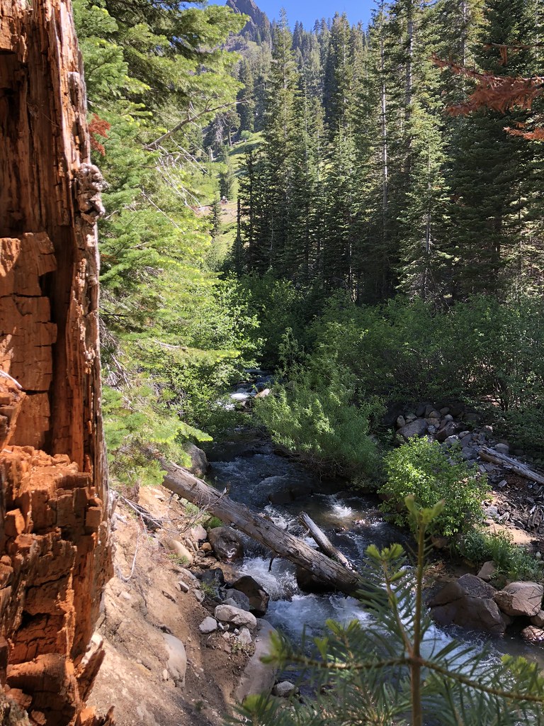 Mill Creek Falls TrailHiking · ~6 min drivePhoto: SlapTheWorld, Public Domain Dedication (CC0) (via Flickr)
- Manzanita Lake Day Use AreaHiking · ~11 min drive
 Cold Boiling Lake TrailHiking · ~9 min drivePhoto: Seth Tisue, CC BY-SA 2.0 (via Flickr)
- Spencer Meadow Loop TrailHiking · ~12 min drivePhoto: Pacific Southwest Region 5, Public domain (via Wikimedia Commons)
 Bumpass Hell TrailHiking · ~8 min drivePhoto: CC BY 2.5 (via Wikimedia Commons)

