Shake Camp Campground
Campground
Campground · 0.3 mi from the trail
Closure in the area
There's a closure order in Sequoia National Forest. It doesn't name Long Meadow, so check the source for the area it covers (2 listed).
Tule River Glass Container Prohibition Area
Agency closure covering Sequoia National Forest · Order 0513-26-02 · USFS · Sequoia National Forest
Trail of 100 Giants Boardwalk and Area Closure
Agency closure covering Sequoia National Forest · Order 0513-26-03 · USFS · Sequoia National Forest
PUBLIC NUDITY PROHIBITION - Sequoia National Forest
Agency alert covering Sequoia National Forest · Order 0513-26-06 · USFS · Sequoia National Forest
Chico Flat Dispersed Camping Area Prohibition 26-27
Agency alert covering Sequoia National Forest · Order 0513-26-09 · USFS · Sequoia National Forest
Wildlife Alert - BEARS
Agency alert covering Sequoia National Forest · USFS · Sequoia National Forest
As of · Source: USFS · Sequoia National Forest. Agencies don't list every closure — check before you go.
Long Meadow is a hard hike in California's Sequoia National Forest, within the Western Divide Ranger District and the Mountain Home Demonstration State Forest. The State Department of Natural Resources manages the land, and the route is about 12.4 miles long, with a one-way elevation gain of 2,925 feet. The trail is natural-surfaced and allows horses, but bikes are not permitted. The climb starts at about 6,490 feet and reaches a high point of 9,321 feet. That makes it a serious outing, and the route is out and back. Several other trails sit close by. Doyle is less than a mile away, and Griswold and Rancheria Creek Trail are each under 2 miles off. For an overnight base, Wishon Campground is about 4.4 miles away.
Shake Camp Campground
Campground
 If it rainsDavid Fulmer, CC BY 2.0 · Wikimedia Commons
Giant Forest Museum
Museum
Places © OpenStreetMap contributors · Photos: David Fulmer, CC BY 2.0 (commons)
More in Silver CityNot on Roamze yet. Their page has how to reach them.
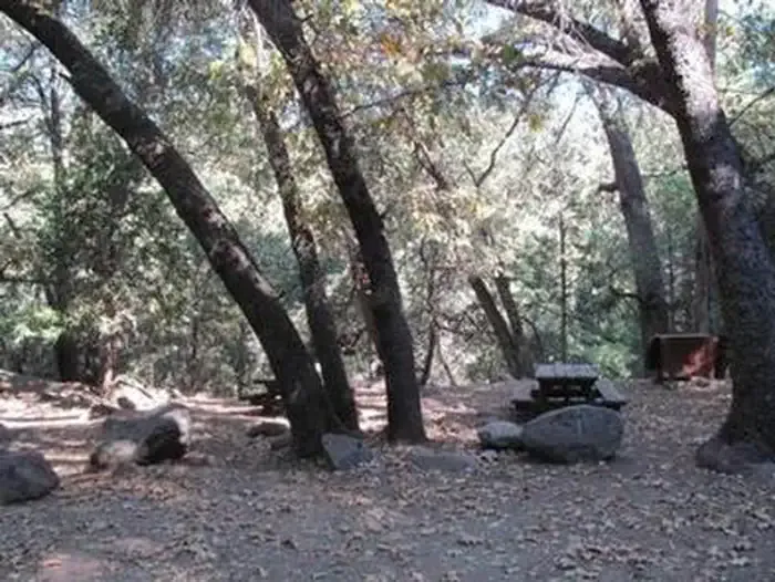 WishonCampingPhoto: Recreation.gov (RIDB) / public domain4.4 mi
Source: Roamze catalog (indexable pages within 10 miles, PostGIS distance)
 Devils CanyonHiking · ~13 min drivePhoto: npdoty, CC BY 2.0 (via Flickr)
