Moses Gulch Campground
Campground
Campground · 0.1 mi from the trail
Closure in the area
There's a closure order in Sequoia National Forest. It doesn't name Doyle, so check the source for the area it covers (2 listed).
Tule River Glass Container Prohibition Area
Agency closure covering Sequoia National Forest · Order 0513-26-02 · USFS · Sequoia National Forest
Trail of 100 Giants Boardwalk and Area Closure
Agency closure covering Sequoia National Forest · Order 0513-26-03 · USFS · Sequoia National Forest
PUBLIC NUDITY PROHIBITION - Sequoia National Forest
Agency alert covering Sequoia National Forest · Order 0513-26-06 · USFS · Sequoia National Forest
Chico Flat Dispersed Camping Area Prohibition 26-27
Agency alert covering Sequoia National Forest · Order 0513-26-09 · USFS · Sequoia National Forest
Wildlife Alert - BEARS
Agency alert covering Sequoia National Forest · USFS · Sequoia National Forest
As of · Source: USFS · Sequoia National Forest. Agencies don't list every closure — check before you go.
Doyle is a hard hike in California's Sequoia National Forest, within the Western Divide Ranger District and the Mountain Home Demonstration State Forest. The State Department of Natural Resources manages the land, and the route is an out-and-back of about 8 miles, with a total elevation gain of 1,731 feet from a low point of 4,373 feet to a high of 5,580 feet. The trail is natural-surfaced and allows both horses and bikes, so it works for riders and pack animals as well as hikers. It is open year-round, and the climb is a steady one, with the most comfortable stretch coming in late summer and early fall. Typical averages from the Lodgepole weather station, about 25 miles away, show July and August highs around 76°F with lows in the mid-40s and only a couple of wet days a month. Winter brings highs in the upper 30s and regular snow days. Griswold and Long Meadow are both under a mile away, and Wishon campground sits about 4 miles off. For paddling, the Middle Fork Tule River is roughly 9 miles away.
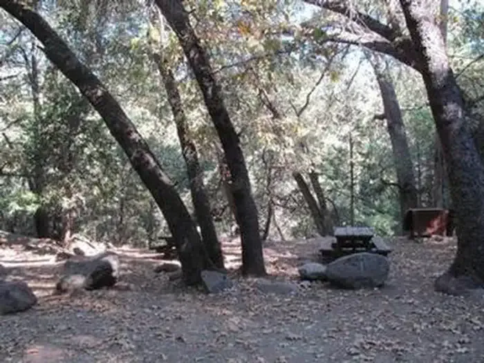
Moses Gulch Campground
Campground
 If it rainsDavid Fulmer, CC BY 2.0 · Wikimedia Commons
Giant Forest Museum
Museum
Places © OpenStreetMap contributors · Photos: David Fulmer, CC BY 2.0 (commons)
More in Silver CityNot on Roamze yet. Their page has how to reach them.
 WishonCampingPhoto: Recreation.gov (RIDB) / public domain3.9 mi
Source: Roamze catalog (indexable pages within 10 miles, PostGIS distance)
 Devils CanyonHiking · ~14 min drivePhoto: npdoty, CC BY 2.0 (via Flickr)
 NelsonHiking · ~14 min drivePhoto: npdoty, CC BY 2.0 (via Flickr)
Best months: June–October. Best months have typical highs of 55–85 °F, lows of 30 °F or warmer (32 °F where the station doesn't record snow), at most one snowy day and no more than 12 wet days.
Jan
39° / 17°
9 wet · 8 snow
Feb
41° / 18°
10 wet · 8 snow
Mar
45° / 22°
10 wet · 8 snow
Apr
50° / 26°
8 wet · 5 snow
May
58° / 33°
5 wet · 2 snow
Jun
68° / 40°
3 wet
Jul
76° / 46°
2 wet
Aug
76° / 44°
2 wet
Sep
70° / 39°
2 wet
Oct
59° / 31°
4 wet · 1 snow
Nov
47° / 23°
6 wet · 4 snow
Dec
37° / 17°
8 wet · 6 snow
Typical high / low (°F) and days with rain or snow, 1991–2020. Measured at Lodgepole, CA, 25 mi away at 6,735 ft. The station sits about 1,200 ft higher than this place, so expect it a little warmer here. Source: NOAA NCEI U.S. Climate Normals 1991–2020.
